Login

Forgot your login?

Cookies have to be accepted!
Your browser's cookie functionality is disabled. Please enable this functionality.

Not a member yet?

Register now
Login

Available for registred users only

Log in to use this feature.

Forgot your login?

Cookies have to be accepted!
Your browser's cookie functionality is disabled. Please enable this functionality.

Not a member yet?

Register now
Filter
Categories
Advanced filters
  • Distance (km)
  • Height
Save filters Reset filter

TrackRank

QRCode

Technical data

Distance13,5 km Height345 m Way down363 m Duration00:00 h:m Date17.04.2010
Scores Author Landscape Fun factor Fitness Technique

Statistics

248 Views Scores 8 Downloads Average
Rate
  • Track data sheet
  • Directions
  • Downloads

Date: April 3, 2009

Total ascent: 375 m
Total descent: 375 m

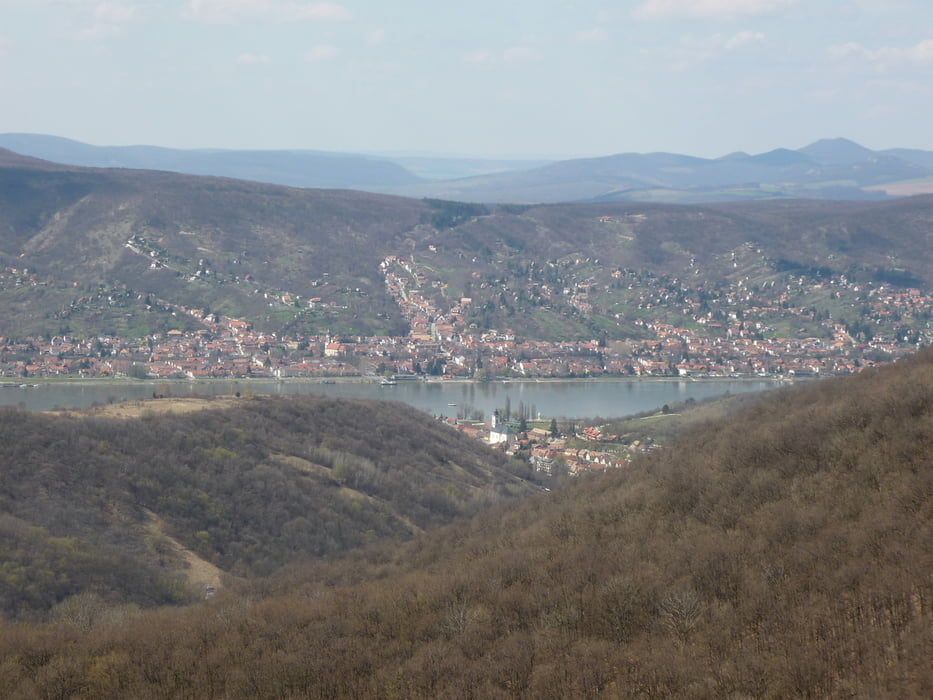
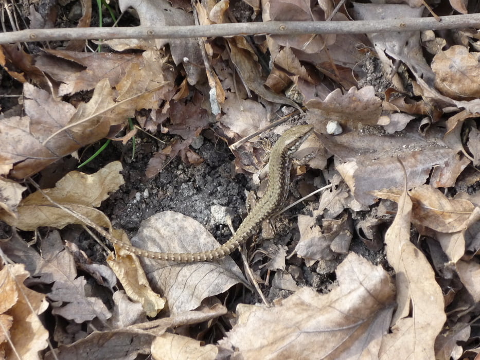
It was the first bigger spring-hike, still a little muddy, but the weather was great.

Can't wait for everything to be green again, 'cause at this time it was almost all-yellow and all-grey still

Tour to GCBorj cache and back.

Tour gallery

Tour map and elevation profile

  • Open Street Map
  • Google
Minimum height 244 m Maximum height 447 m Detailed view

More about the tour author

beepee
Member since 2009

Send private message

Comments

Park at the summer-bob parking place which is a bit above of the castle of Visegrad.

They will charge you for ~900 HUF for the whole day

Follow the track to GCBorj :)

GPS tracks

Trackpoints
  • GPX / Garmin Map Source (gpx) download
  • TCX / Garmin Training Center® (tcx) download
  • CRS / Garmin Training Center® (crs) download
  • Google Earth (kml) download
  • G7ToWin (g7t) download
  • TTQV (trk) download
  • Overlay (ovl) download
  • Fugawi (txt) download
  • Kompass (DAV) Track (tk) download
  • Track data sheet (pdf) download
  • Original file of the author (gpx) download

More about the tour author

beepee
Member since 2009

Send private message
Share track
Add to my favorites
Remove from my favorites
Edit tags
My score
Rate
Track: Visegrád
Type: Hiking
Distance: 13,5 km
Evaluated on:
Duration:
Day(s)
Hour(s)
Minute(s)
Score: Landscape Fun factor Fitness Technique