Login

Forgot your login?

Cookies have to be accepted!
Your browser's cookie functionality is disabled. Please enable this functionality.

Not a member yet?

Register now
Login

Available for registred users only

Log in to use this feature.

Forgot your login?

Cookies have to be accepted!
Your browser's cookie functionality is disabled. Please enable this functionality.

Not a member yet?

Register now
Filter
Categories
Advanced filters
  • Distance (km)
  • Height
Save filters Reset filter

TrackRank

QRCode

Technical data

Distance13,2 km Height352 m Way down352 m Duration04:00 h:m Date13.06.2010
Scores Author Landscape Fun factor Fitness Technique

Statistics

162 Views Scores 29 Downloads Average
Rate
  • Track data sheet
  • Directions
  • Downloads

Die Tour geht in Portinscale los und führt ersteinmal nach Keswick. In Keswick orientiert man sich mal wieder in Richtung Marktplatz und biegt dann in die Station Road ein. Noch bevor man das Keswicl Leisure Pool erreicht hat biegt man nach links in den Park ein und schlendert am Ufer von River Greta. Bald verlässt man die Parkanlage und es geht sehr steil auf Latrigg zu. Von dort hat man eine schöne Aussicht auf Keswick. Zurück wird es dann wieder durch einen Wald an einem Campingplatz vorbei.
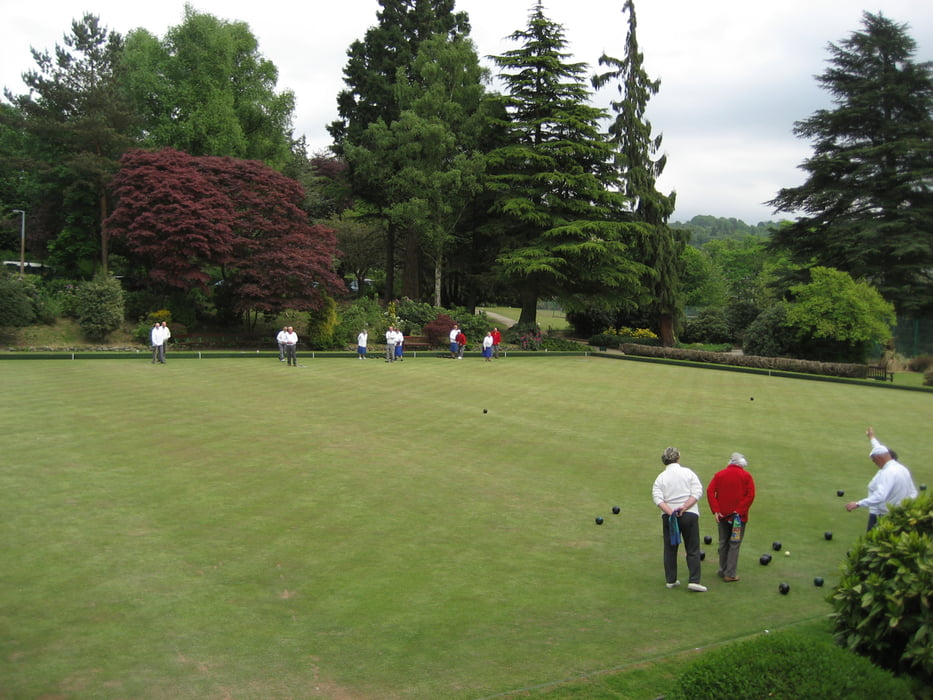
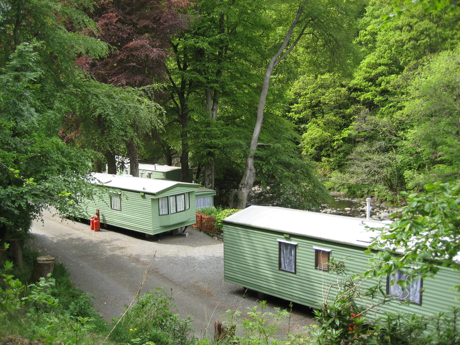
Tour gallery

Tour map and elevation profile

  • Open Street Map
  • Google
Minimum height 71 m Maximum height 376 m Detailed view

More about the tour author

Damian
Member since 2009

Send private message

Comments

GPS tracks

Trackpoints
  • GPX / Garmin Map Source (gpx) download
  • TCX / Garmin Training Center® (tcx) download
  • CRS / Garmin Training Center® (crs) download
  • Google Earth (kml) download
  • G7ToWin (g7t) download
  • TTQV (trk) download
  • Overlay (ovl) download
  • Fugawi (txt) download
  • Kompass (DAV) Track (tk) download
  • Track data sheet (pdf) download
  • Original file of the author (gpx) download

More about the tour author

Damian
Member since 2009

Send private message
Share track
Add to my favorites
Remove from my favorites
Edit tags
My score
Rate
Track: Latrigg
Type: Hiking
Distance: 13,2 km
Evaluated on:
Duration:
Day(s)
Hour(s)
Minute(s)
Score: Landscape Fun factor Fitness Technique