


Date: September 13, 2009
Total ascent: 562 m (130 m by cable car)
Total descent: 562 m
The tour starts at Glocknerhaus, you can park your car here. To reach Glocknerhaus, you must take the 'Grossglockner Hochalpenstrasse', which is a beautiful Alpine scenery road. It is only open during the summer. You will find all kinds of information, including prices (toll road!) here: Grossglockner High Alpine Road.
The trail we took:
- Glocknerhaus
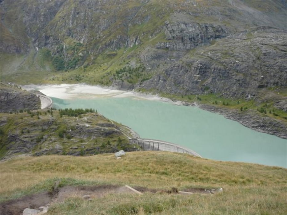
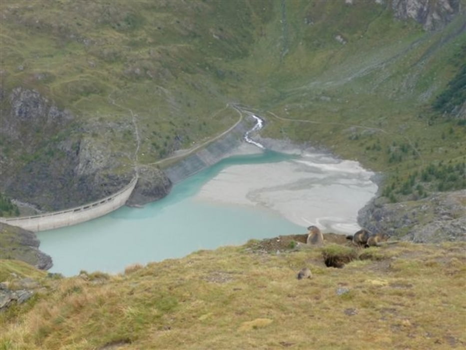
- Margaritzenstaus
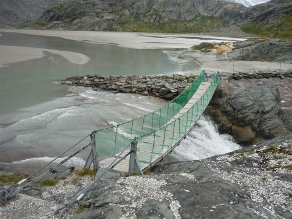
- Sandersee
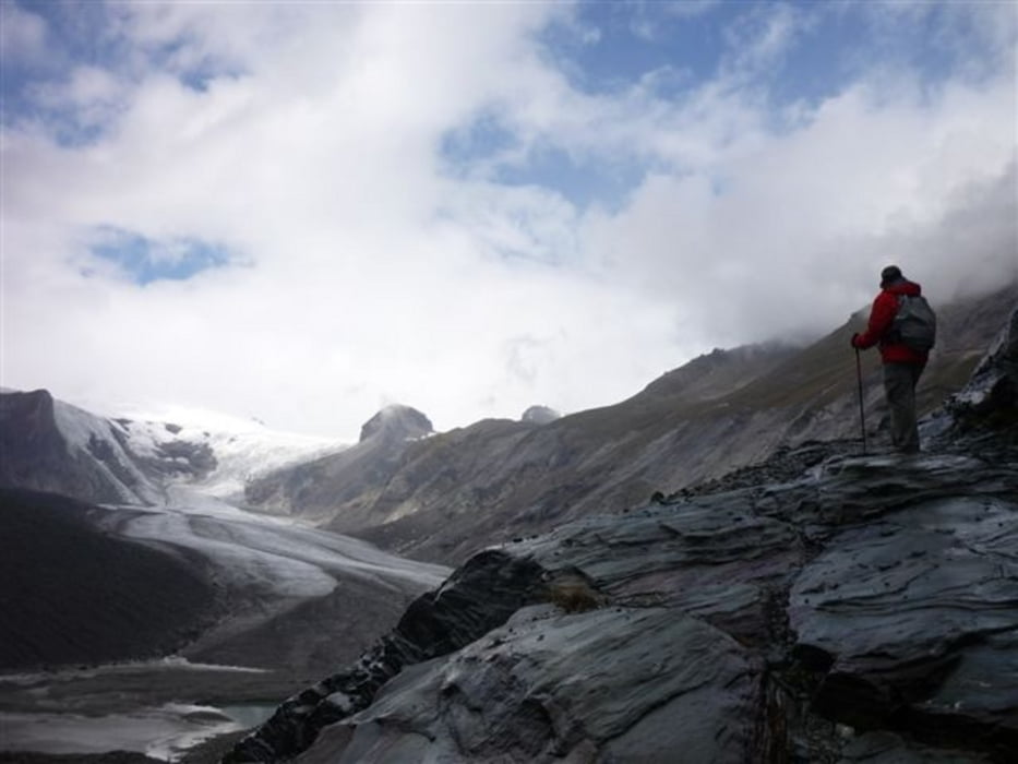
- Pasterze Glacier
- Kaiser Franz Josefs Höhe (you can take the funicular up from the glacier, info here, but for those up for some more cardio, you can walk up stairs too)
- Franz Josefs Haus
- Glocknerhaus
You can eat and drink at Glocknerhaus and Franz Josefs Haus, but there are plenty of rocks and benches as well for those in favor of picknick.
**************************
Do not take anything, do not leave anything!
**************************
Please, do NOT leave trash behind. Paper tissues are also trash! Chocolate wrap as well. Bring a small trash bag with you and take your trash with yourself to the next trash can. It is not that heavy.
**************************
Further information at
http://www.beepee.hu/kepek/v/ausztrianemet0909/pasterze0913/Tour gallery
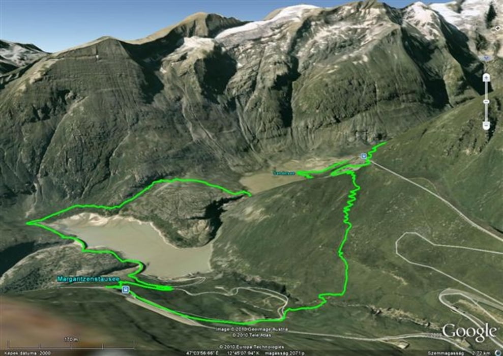
Tour map and elevation profile
Minimum height 2005 m
Maximum height 2412 m
More about the tour author
|
|
beepee |
Comments

More about the tour author
|
|
beepee |
Add to my favorites
Remove from my favorites
Edit tags
Open track


My score
Rate