Login

Forgot your login?

Cookies have to be accepted!
Your browser's cookie functionality is disabled. Please enable this functionality.

Not a member yet?

Register now
Login

Available for registred users only

Log in to use this feature.

Forgot your login?

Cookies have to be accepted!
Your browser's cookie functionality is disabled. Please enable this functionality.

Not a member yet?

Register now
Filter
Categories
Advanced filters
  • Distance (km)
  • Height
Save filters Reset filter

TrackRank

QRCode

Technical data

Distance11,5 km Height742 m Way down733 m Duration06:00 h:m Date19.06.2010
Scores Author Landscape Fun factor Fitness Technique

Statistics

177 Views Scores 43 Downloads Average
Rate
  • Track data sheet
  • Directions
  • Downloads

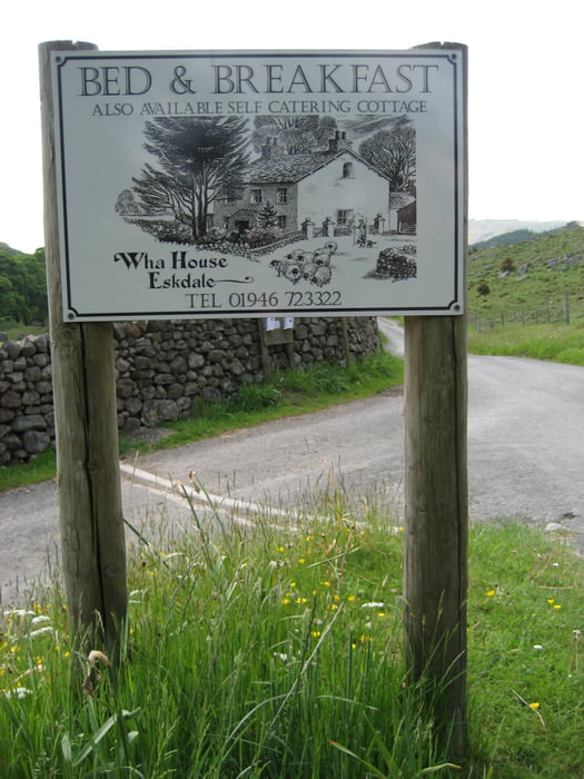
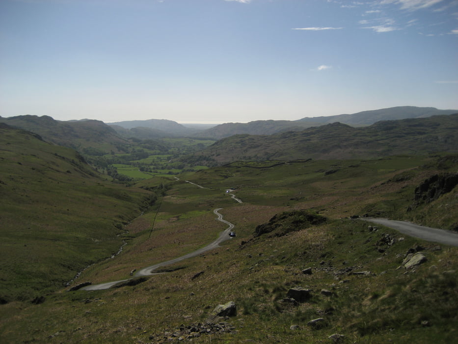
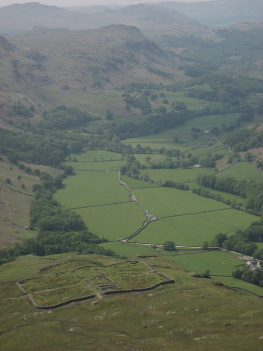
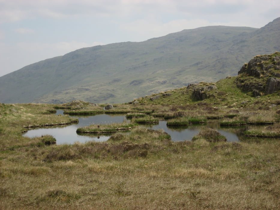
Diese Wanderung hat es in sich, denn direkt hinter der Wha House Farm geht es steil auf den Harter Fell zu. Unbedingt Regenkleidung und Wanderschuhe mitnehmen. Wetter kann sehr schnell umschlagen. Für den Weg zum Harter Fell sollte man je nach Kondition zwei bis drei Stunden einplanen. Danach geht man durch die wunderschöne Moorlandschaft um auf dem Hardknot zu steigen. Man sieht von da oben das alte Römische Fort. Der Rückweg geht am Ufer des River Esk vorbei.

Tour gallery

Tour map and elevation profile

  • Open Street Map
  • Google
Minimum height 79 m Maximum height 645 m Detailed view

More about the tour author

Damian
Member since 2009

Send private message

Comments

GPS tracks

Trackpoints
  • GPX / Garmin Map Source (gpx) download
  • TCX / Garmin Training Center® (tcx) download
  • CRS / Garmin Training Center® (crs) download
  • Google Earth (kml) download
  • G7ToWin (g7t) download
  • TTQV (trk) download
  • Overlay (ovl) download
  • Fugawi (txt) download
  • Kompass (DAV) Track (tk) download
  • Track data sheet (pdf) download
  • Original file of the author (gpx) download

More about the tour author

Damian
Member since 2009

Send private message
Share track
Add to my favorites
Remove from my favorites
Edit tags
My score
Rate
Track: Hardknot
Type: Hiking
Distance: 11,5 km
Evaluated on:
Duration:
Day(s)
Hour(s)
Minute(s)
Score: Landscape Fun factor Fitness Technique