Login

Forgot your login?

Cookies have to be accepted!
Your browser's cookie functionality is disabled. Please enable this functionality.

Not a member yet?

Register now
Login

Available for registred users only

Log in to use this feature.

Forgot your login?

Cookies have to be accepted!
Your browser's cookie functionality is disabled. Please enable this functionality.

Not a member yet?

Register now
Filter
Categories
Advanced filters
  • Distance (km)
  • Height
Save filters Reset filter

TrackRank

QRCode

Technical data

Distance14,3 km Height731 m Way down616 m Duration05:10 h:m Date08.07.2010
Scores Author User Landscape Fun factor Fitness Technique

Statistics

1371 Views 1 Score 47 Downloads 2.00 Average
Rate
  • Track data sheet
  • Directions
  • Downloads

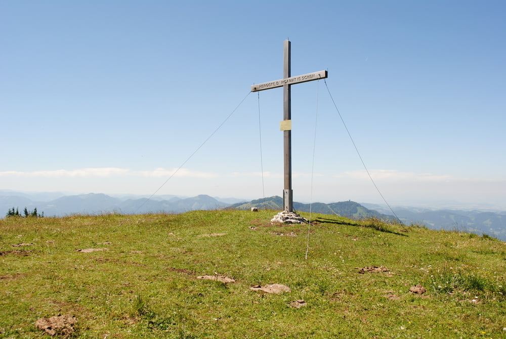
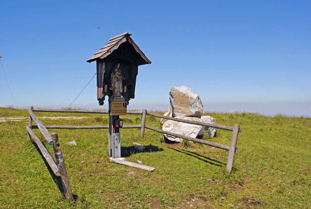
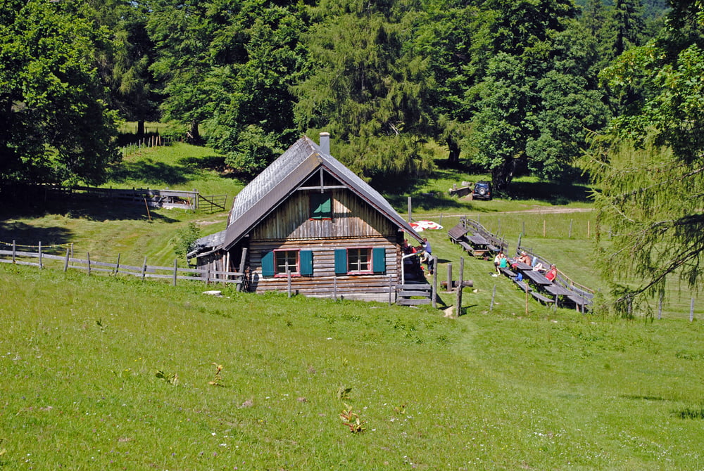
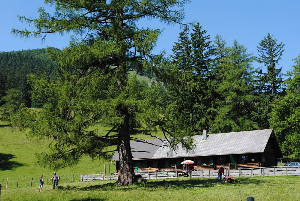
Gute Parkmöglichkeit auf der Ebenwaldhöhe.Auf rotblauer Markierung rechts um den Hochstaff herum bis zur Kleinzeller Hinteralm.Dort weiter auf gelb ,auf und ab, bis zur Brennalm.Weiter auf rot ,teilweise auf Forststrasse direkt zum Reisalpenhaus,Prachtvoller Rundblick und nun steht auch das Gipfelkreuz dort wo es hingehört.Gute Küche und freundliche Wirtin.Abstieg auf blauer Markierung ,teilweise steil,bis zur Kleinzeller Hinteralm.Alte Sennerin besuchen und ein Krügerl Most drinken.Schliesslich wieder auf rot,blau bis zum Parkplatz Ebenwaldhöhe.

Tour gallery

Tour map and elevation profile

  • Open Street Map
  • Google
Minimum height 915 m Maximum height 1402 m Detailed view

More about the tour author

LeoCheops
Member since 2008

Send private message

Comments

GPS tracks

Trackpoints
  • GPX / Garmin Map Source (gpx) download
  • TCX / Garmin Training Center® (tcx) download
  • CRS / Garmin Training Center® (crs) download
  • Google Earth (kml) download
  • G7ToWin (g7t) download
  • TTQV (trk) download
  • Overlay (ovl) download
  • Fugawi (txt) download
  • Kompass (DAV) Track (tk) download
  • Track data sheet (pdf) download
  • Original file of the author (gpx) download

More about the tour author

LeoCheops
Member since 2008

Send private message
Share track
Add to my favorites
Remove from my favorites
Edit tags
My score
Rate
Track: Reisalpe über Hinteralm und Brennalm (08.07.2010)
Type: Mountain hiking
Distance: 14,3 km
Evaluated on:
Duration:
Day(s)
Hour(s)
Minute(s)
Score: Landscape Fun factor Fitness Technique