Login

Forgotten password?

Cookies have to be accepted!
Your browser's cookie functionality is disabled. Please enable this functionality.

Not a member yet?

Register now
Login

Available for registred users only

Log in to use this feature.

Forgotten password?

Cookies have to be accepted!
Your browser's cookie functionality is disabled. Please enable this functionality.

Not a member yet?

Register now
Filter
Categories
Advanced filters
  • Distance (km)
  • Height
Save filters Reset filter

TrackRank

QRCode

Technical data

Distance7,1 km Height327 m Way down322 m Duration02:30 h:m Date29.07.2010
Scores Author Landscape Fun factor Fitness Technique

Statistics

2051 Views Scores 192 Downloads Average
Rate
  • Track data sheet
  • Directions
  • Downloads

Asphalierte Straße, Trampelpfade

Eine ausführliche Tourenbeschreibung gibt es in der Touristeninformation im Zentrum.

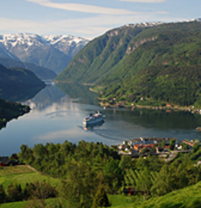
Vom Zentrum in Ulvik startet man mit einem Besuch der Kirche von 1859. Holzkirche mit Innendekoration des Künstlers Lars Orsa.

Ca. 400m auf der Straße Richtung Osa, vorbei am lokalen Wasserkraftwerk BKK ovon 1974.

Die Straße "Hakestad" Richtung "Syse". Weiter Richtung "Lekve". In "Levke" links ab und den Weg aufwärts Richtung "Tunheim". Später der Ausschilderung Richtung "Solhovden" folgen.

Mitten durch die Wiesen und dem Wald. "Ljonakleiv" bietet auf halber Strecke die Möglichkeit zu einer Pause. An der Hütte hat man fast die Höhe erreicht.

Von "Solvhovden" geht es über die Straße zurück nach Ulvik.

Further information at

http://www.visitulvik.com

Tour map and elevation profile

  • Open Street Map
  • Google
Minimum height -11 m Maximum height 298 m Detailed view

More about the tour author

HanHH
Member since 2009

Send private message

Comments

Anfahrt direkt mit dem PKW nach Ulvik, Zentrum.


Alternativ die Anreise mit "Fjordcruises" über den Haddanger/Eidfjord nach Ulvik. Im Sommer Personentransport 1x täglich.

GPS tracks

Trackpoints
  • GPX / Garmin Map Source (gpx) download
  • TCX / Garmin Training Center® (tcx) download
  • CRS / Garmin Training Center® (crs) download
  • Google Earth (kml) download
  • G7ToWin (g7t) download
  • TTQV (trk) download
  • Overlay (ovl) download
  • Fugawi (txt) download
  • Kompass (DAV) Track (tk) download
  • Track data sheet (pdf) download
  • Original file of the author (gpx) download

More about the tour author

HanHH
Member since 2009

Send private message
Share track
Add to my favorites
Remove from my favorites
Edit tags
My score
Rate
Track: Kulturweg Oestl. Ulvik
Type: Hiking
Distance: 7,1 km
Evaluated on:
Duration:
Day(s)
Hour(s)
Minute(s)
Score: Landscape Fun factor Fitness Technique