

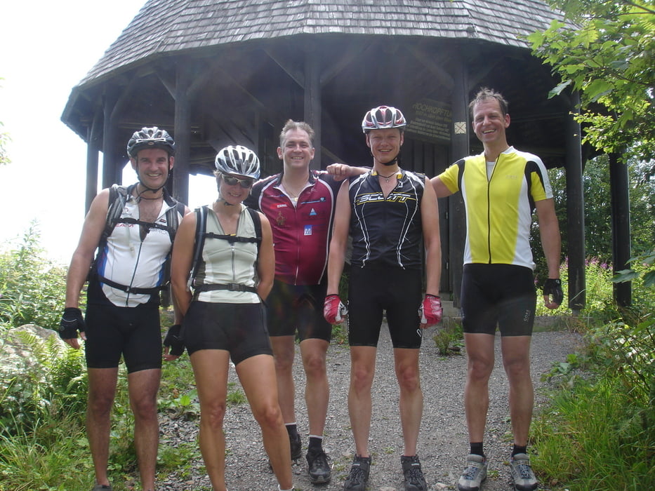

Start: Schopfheim Wiesenbrücke
- Hasel
- Wolfristhütte
- Mättle Höfe
- Gersbach Schanze
- Stankt Antöni
- Hochkopf
- Wembach
- Pfaffenberg
- Blauener Ebene
- Gresgen
- Rotenburg
- Wieslet
- Steinen
Ziel: Schopfheim
Tour gallery
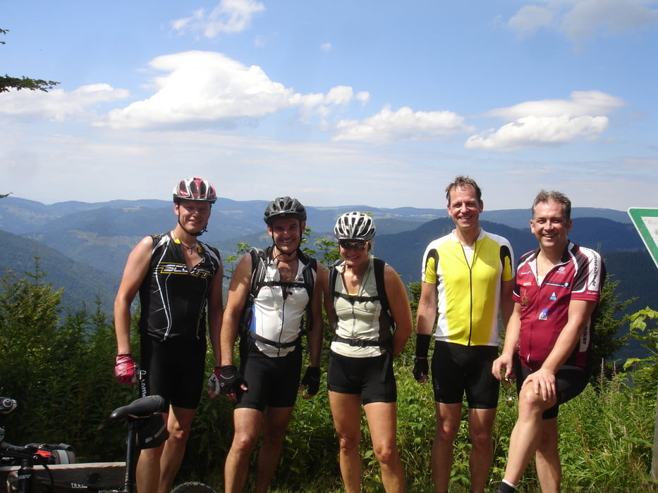
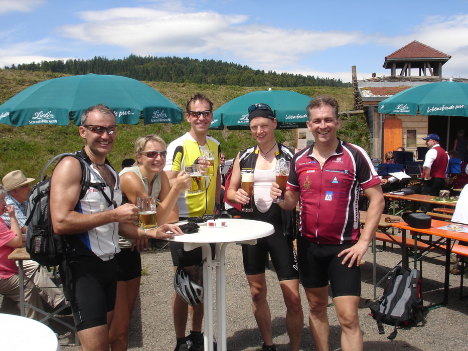
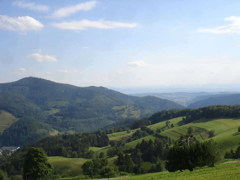
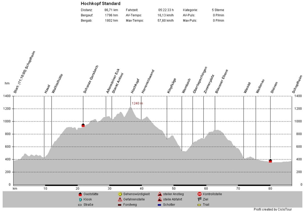
Tour map and elevation profile
Minimum height 341 m
Maximum height 1267 m
More about the tour author
|
|
WeissManuel |
Comments

More about the tour author
|
|
WeissManuel |
Add to my favorites
Remove from my favorites
Edit tags
Open track


My score
Rate