
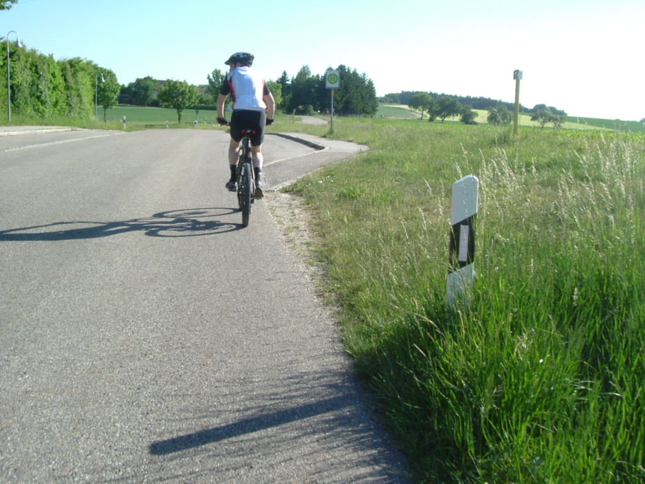

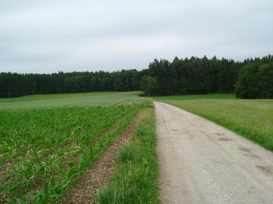
Die Tour geht weitgehend auf nicht asphaltierten Straßen rund um DGF
Start-Zielpunkt: DGF, Lidl (Frontenhausener Str.)
-Brunn-Schermau-Frauenbiburg-Stadtwald-Aigen-Aiglkofen-Reithen-Ludersdorf-Gruberbach-Birnthal-Edenthal, Richtung Tichling-Oberdingolfing-Spiegelbrunn-DGF, Lidl (Frontenhausener Str.).
Auf der Strecke keine Einkehrmöglichkeit gefunden.
Tour gallery


Tour map and elevation profile
Minimum height 390 m
Maximum height 498 m
More about the tour author
|
|
charly60 |
Comments

Zunächst nach Dingolfing, Staatsstraße nach Frontenhausen bis zum Verbrauchermarkt Lidl. Dort findet sich i. d. R. ein Parkplatz.
GPS tracks
Trackpoints-
GPX / Garmin Map Source (gpx) download
-
TCX / Garmin Training Center® (tcx) download
-
CRS / Garmin Training Center® (crs) download
-
Google Earth (kml) download
-
G7ToWin (g7t) download
-
TTQV (trk) download
-
Overlay (ovl) download
-
Fugawi (txt) download
-
Kompass (DAV) Track (tk) download
-
Track data sheet (pdf) download
-
Original file of the author (gpx) download
More about the tour author
|
|
charly60 |
Add to my favorites
Remove from my favorites
Edit tags
Open track
My score
Rate