Login

Forgot your login?

Cookies have to be accepted!
Your browser's cookie functionality is disabled. Please enable this functionality.

Not a member yet?

Register now
Login

Available for registred users only

Log in to use this feature.

Forgot your login?

Cookies have to be accepted!
Your browser's cookie functionality is disabled. Please enable this functionality.

Not a member yet?

Register now
Filter
Categories
Advanced filters
  • Distance (km)
  • Height
Save filters Reset filter

TrackRank

QRCode

Technical data

Distance5,6 km Height15 m Way down488 m Duration02:30 h:m Date28.08.2010
Scores Author Landscape Fun factor Fitness Technique

Statistics

378 Views Scores 30 Downloads Average
Rate
  • Track data sheet
  • Directions
  • Downloads

Date: August 4, 2010

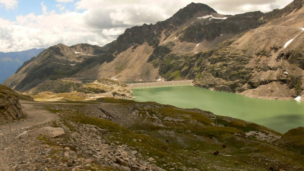
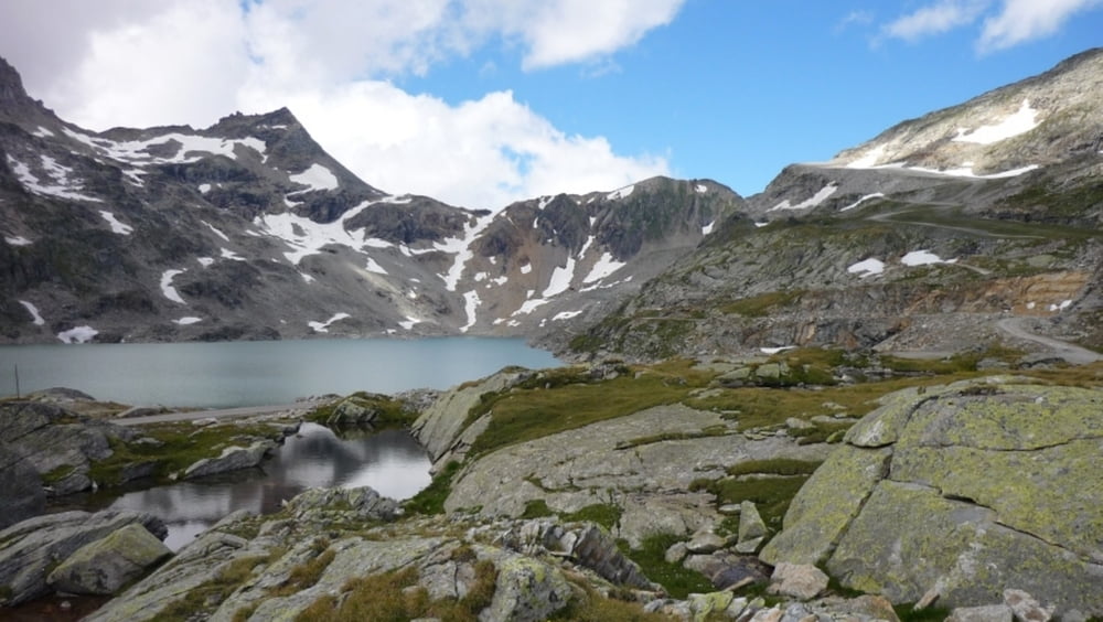
Start: 2721 m (Gletscher Jet Sesselbahn lower station, near Panorama Restaurant Eissee)
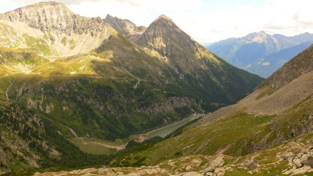
Finish: 2240 m (Mölltaler Gletscher Express mountain station, Mittelstation)

Highest point: 2721 m
Lowest point: 2240 m

Total ascent: 0 m
Total descent: 481 m

Information about Mölltal Glacier:
http://www.gletscher.co.at/

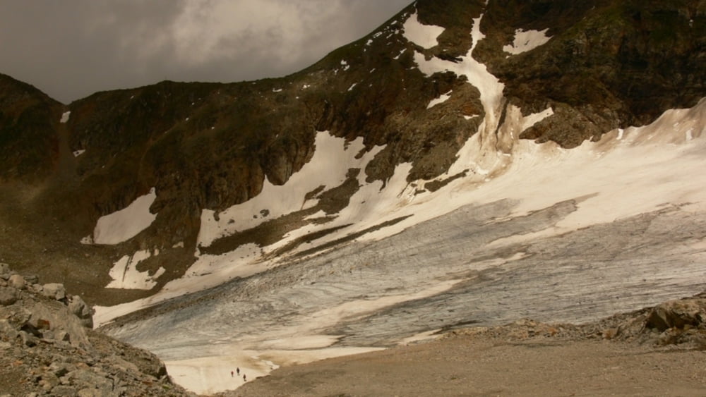
Very easy hike on wide, prepared trails.

Further information at

http://www.beepee.hu/v/ausztria2010/heiligenblut/molltal/

Tour gallery

Tour map and elevation profile

  • Open Street Map
  • Google
Minimum height 2242 m Maximum height 2721 m Detailed view

More about the tour author

beepee
Member since 2009

Send private message

Comments

Places where you can eat and drink:
Panorama Restaurant Eissee
Duisburger Hütte
Gletscher Express mountain station ('Mittelstation')

Route:
1. recommended: ride all the way up with the cable cars, last section: Gletscher Jet Sesselbahn, look around and walk a little on the top, breathtaking views!!
2. after riding back down with the 'Sesselbahn' (last section), do not walk up to the Panorama Restaurant
3. start on trail towards Duisburger Hütte (a little above the glacier)
4. walk under the ski cable cars (not functioning in the summer)
5. if you want to go to Duisburger Hütte, follow the signs to it
6. walk down to the lake (Hochwurtenspeicher)
7. follow the sigh to Weisseehaus along Weissee (White lake)
8. go past Weisseehaus and keep left on the trail, it will take you down to Mittelstation where you can get on the train back down (first section)

GPS tracks

Trackpoints
  • GPX / Garmin Map Source (gpx) download
  • TCX / Garmin Training Center® (tcx) download
  • CRS / Garmin Training Center® (crs) download
  • Google Earth (kml) download
  • G7ToWin (g7t) download
  • TTQV (trk) download
  • Overlay (ovl) download
  • Fugawi (txt) download
  • Kompass (DAV) Track (tk) download
  • Track data sheet (pdf) download
  • Original file of the author (gpx) download

More about the tour author

beepee
Member since 2009

Send private message
Share track
Add to my favorites
Remove from my favorites
Edit tags
My score
Rate
Track: Mölltal glacier walk
Type: Hiking
Distance: 5,6 km
Evaluated on:
Duration:
Day(s)
Hour(s)
Minute(s)
Score: Landscape Fun factor Fitness Technique