
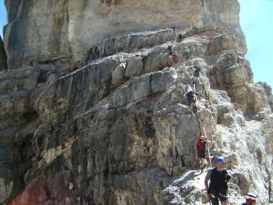

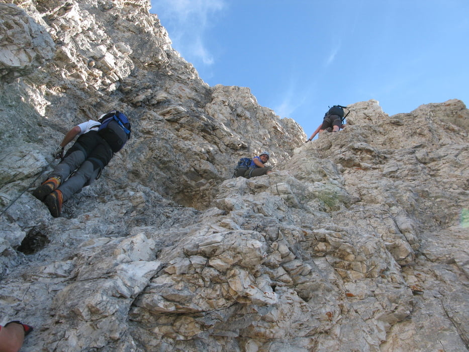
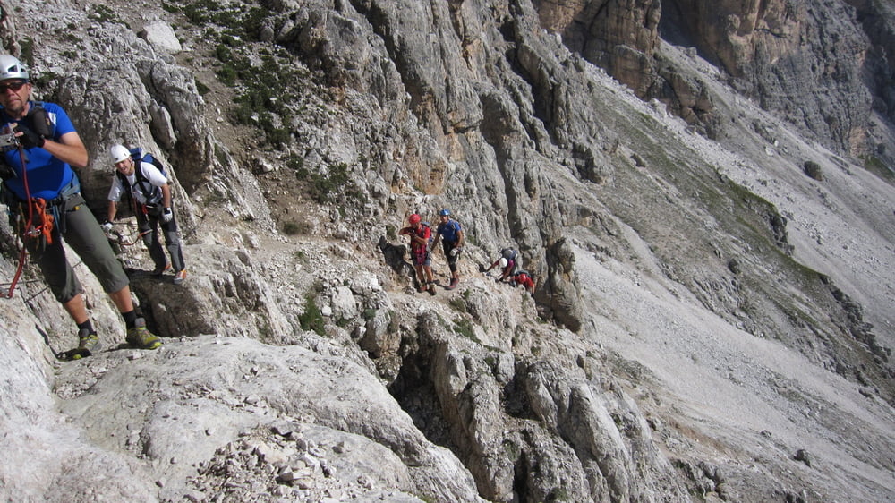
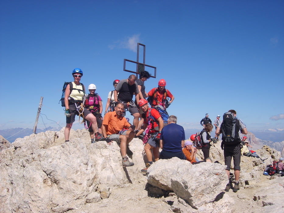
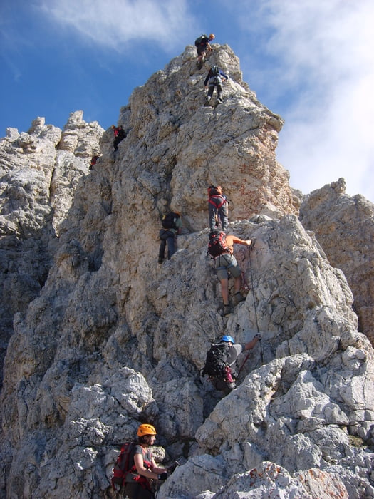
Lange Klettersteigtour auf die Tofana di Mezzo (3244m)
Mit dem Sessellift bis zur Pomedes Hütte. Von dort in 15 min. zum Einstieg der Ferr. Olivieri bis zur Punta Anna auf 2731m. Der Weiterweg führt dann über die Ferr. Aglio (D) auf den Tofanagipfel. Um die Tour etwas abzukürzen nimmt man die Gondel hinunter zur Valles Mittelstation und geht dann über den Sentiero Olivieri zum Ausgangspunkt zurück.
Tour gallery
Tour map and elevation profile
Minimum height 2282 m
Maximum height 3237 m
More about the tour author
|
|
renrew |
Comments

Cortina d'Ampezzo bis zur Talstationdes Sessellift der auf die Pomedeshütte führt
GPS tracks
Trackpoints-
GPX / Garmin Map Source (gpx) download
-
TCX / Garmin Training Center® (tcx) download
-
CRS / Garmin Training Center® (crs) download
-
Google Earth (kml) download
-
G7ToWin (g7t) download
-
TTQV (trk) download
-
Overlay (ovl) download
-
Fugawi (txt) download
-
Kompass (DAV) Track (tk) download
-
Track data sheet (pdf) download
-
Original file of the author (gpx) download
More about the tour author
|
|
renrew |
Add to my favorites
Remove from my favorites
Edit tags
Open track
My score
Rate