


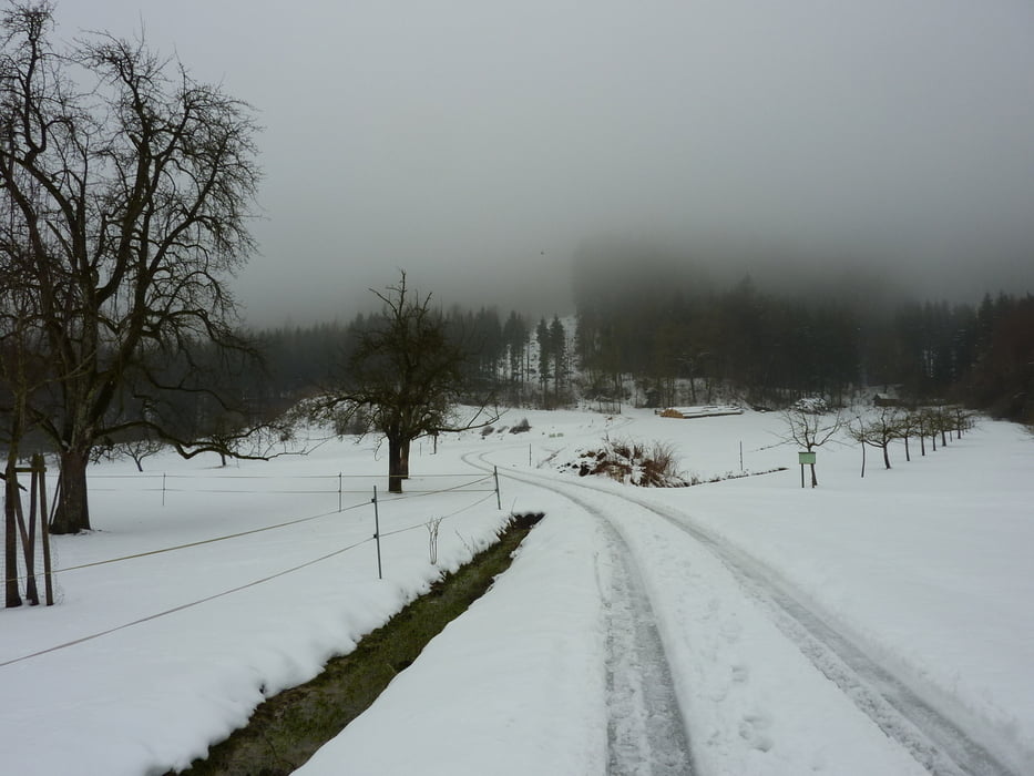
Von Deggenhausen über Lellwangen-Betenbrunn-Ellenfurter Tobel durch die Wälder des Aacheck.
Die Tour wurde in Anlehnung an das Buch "Kein schöner Land" aufgezeichnet.
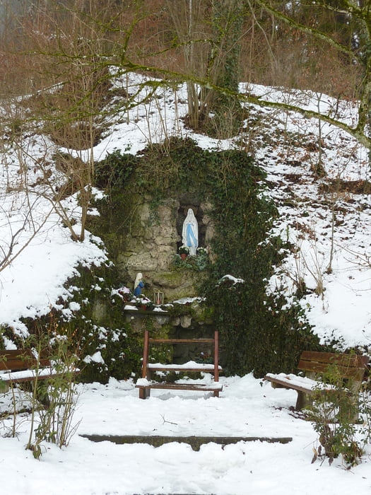
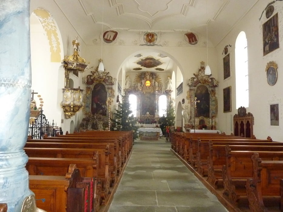
Sie führt über wenig begangene Wege, im Bereich Ellenfurter Tobel gibt es eine kurze Passage ohne Weg aber sehr lohnenswert (trockenere Verhältnisse- oder etwas Schnee sind von Vorteil). Zwischendurch kann man in Betenbrunn die Wallfahrtskirche besichtigen, und ggf. im Gasthaus Post gegenüber einkehren.
Tour gallery

Tour map and elevation profile
Minimum height 499 m
Maximum height 795 m
More about the tour author
|
|
erwin58 |
Comments

Je nach Anfahrtsrichtung, Parken bei der Kirche in Deggenhausen.
GPS tracks
Trackpoints-
GPX / Garmin Map Source (gpx) download
-
TCX / Garmin Training Center® (tcx) download
-
CRS / Garmin Training Center® (crs) download
-
Google Earth (kml) download
-
G7ToWin (g7t) download
-
TTQV (trk) download
-
Overlay (ovl) download
-
Fugawi (txt) download
-
Kompass (DAV) Track (tk) download
-
Track data sheet (pdf) download
-
Original file of the author (gpx) download
More about the tour author
|
|
erwin58 |
Add to my favorites
Remove from my favorites
Edit tags
Open track
My score
Rate