Login

Forgot your login?

Cookies have to be accepted!
Your browser's cookie functionality is disabled. Please enable this functionality.

Not a member yet?

Register now
Login

Available for registred users only

Log in to use this feature.

Forgot your login?

Cookies have to be accepted!
Your browser's cookie functionality is disabled. Please enable this functionality.

Not a member yet?

Register now
Filter
Categories
Advanced filters
  • Distance (km)
  • Height
Save filters Reset filter

TrackRank

QRCode

Technical data

Distance6,8 km Height14 m Way down22 m Duration01:58 h:m Date09.03.2011
Scores Author Landscape Fun factor Fitness Technique

Statistics

429 Views Scores 64 Downloads Average
Rate
  • Track data sheet
  • Directions
  • Downloads
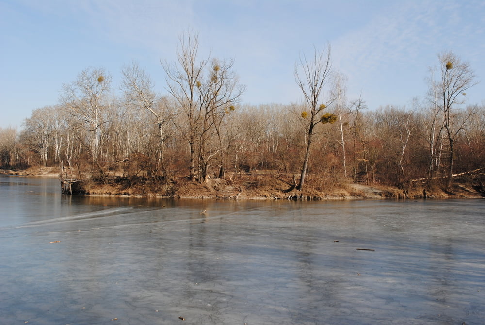
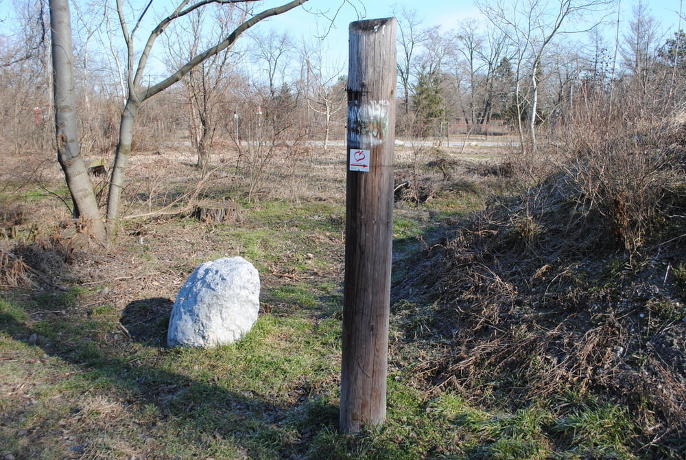
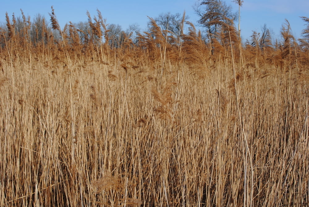
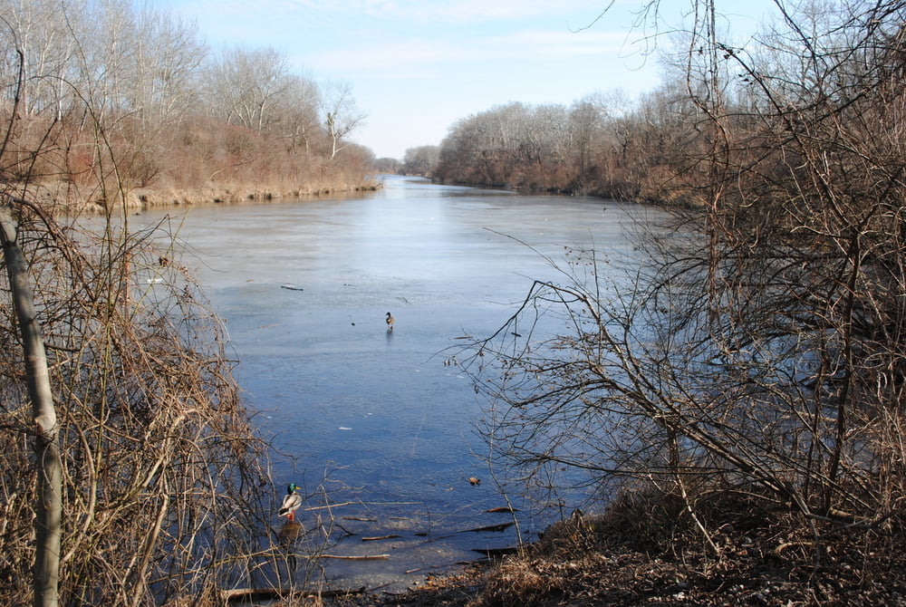
Beginn Gasthaus "Roter Hiasl".Weiter quer durch den Nationalpark Lobau bis zur "Esslinger Furth".Route ist schön beschildert(Rundumadum Logo).Uns ist es aber trotzdem gelungen den falschen Weg zu nehmen.Wunderschöne Au-Landschaft,leider lag die Natur noch im Winterschlaf!!

Tour gallery

Tour map and elevation profile

  • Open Street Map
  • Google
Minimum height 152 m Maximum height 163 m Detailed view

More about the tour author

LeoCheops
Member since 2008

Send private message

Comments

GPS tracks

Trackpoints
  • GPX / Garmin Map Source (gpx) download
  • TCX / Garmin Training Center® (tcx) download
  • CRS / Garmin Training Center® (crs) download
  • Google Earth (kml) download
  • G7ToWin (g7t) download
  • TTQV (trk) download
  • Overlay (ovl) download
  • Fugawi (txt) download
  • Kompass (DAV) Track (tk) download
  • Track data sheet (pdf) download
  • Original file of the author (gpx) download

More about the tour author

LeoCheops
Member since 2008

Send private message
Share track
Add to my favorites
Remove from my favorites
Edit tags
My score
Rate
Track: Wien Rundumadum Teilstrecke 14_15_16 (08.03.2011)
Type: Hiking
Distance: 6,8 km
Evaluated on:
Duration:
Day(s)
Hour(s)
Minute(s)
Score: Landscape Fun factor Fitness Technique