Login

Forgot your login?

Cookies have to be accepted!
Your browser's cookie functionality is disabled. Please enable this functionality.

Not a member yet?

Register now
Login

Available for registred users only

Log in to use this feature.

Forgot your login?

Cookies have to be accepted!
Your browser's cookie functionality is disabled. Please enable this functionality.

Not a member yet?

Register now
Filter
Categories
Advanced filters
  • Distance (km)
  • Height
Save filters Reset filter

TrackRank

QRCode

Technical data

Distance9,2 km Height65 m Way down20 m Duration02:50 h:m Date29.03.2011
Scores Author Landscape Fun factor Fitness Technique

Statistics

318 Views Scores 36 Downloads Average
Rate
  • Track data sheet
  • Directions
  • Downloads
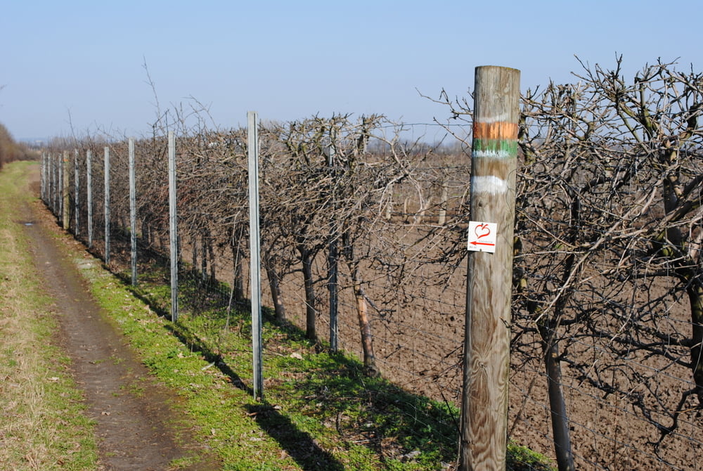
Start Süßenbrunn Hauptplatz.Über Hauptstrasse, Weingartenallee (wunderschöner Bildstock im Acker) ,die Nordbahntrasse querend nach Gerasdorf.Einkehr im Gasthaus "Kati und Mato" auf ein kleines oder auch größeres Bier.Quer durch Gerasdorf über den Gemeindeweg und am Ende rechts ab über den Grenzweg bis zum Marchfeldkanal.Diesen entlang bis zur Brünnerstrasse.Tip:Kartenausdruck mitnehmen,denn viele Rundumadumschilder gibt es nicht (mehr?).

Tour gallery

Tour map and elevation profile

  • Open Street Map
  • Google
Minimum height 124 m Maximum height 168 m Detailed view

More about the tour author

LeoCheops
Member since 2008

Send private message

Comments

GPS tracks

Trackpoints
  • GPX / Garmin Map Source (gpx) download
  • TCX / Garmin Training Center® (tcx) download
  • CRS / Garmin Training Center® (crs) download
  • Google Earth (kml) download
  • G7ToWin (g7t) download
  • TTQV (trk) download
  • Overlay (ovl) download
  • Fugawi (txt) download
  • Kompass (DAV) Track (tk) download
  • Track data sheet (pdf) download
  • Original file of the author (gpx) download

More about the tour author

LeoCheops
Member since 2008

Send private message
Share track
Add to my favorites
Remove from my favorites
Edit tags
My score
Rate
Track: Wien Rundumadum Teilstrecke 20_21 (29.03.2011)
Type: Hiking
Distance: 9,2 km
Evaluated on:
Duration:
Day(s)
Hour(s)
Minute(s)
Score: Landscape Fun factor Fitness Technique