Login

Forgot your login?

Cookies have to be accepted!
Your browser's cookie functionality is disabled. Please enable this functionality.

Not a member yet?

Register now
Login

Available for registred users only

Log in to use this feature.

Forgot your login?

Cookies have to be accepted!
Your browser's cookie functionality is disabled. Please enable this functionality.

Not a member yet?

Register now
Filter
Categories
Advanced filters
  • Distance (km)
  • Height
Save filters Reset filter

TrackRank

QRCode

Technical data

Distance8,1 km Height383 m Way down313 m Duration03:12 h:m Date08.04.2011
Scores Author Landscape Fun factor Fitness Technique

Statistics

333 Views Scores 10 Downloads Average
Rate
  • Track data sheet
  • Directions
  • Downloads
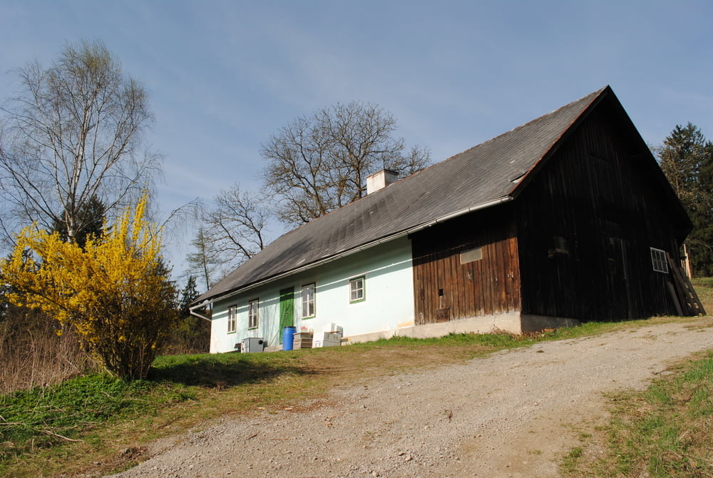
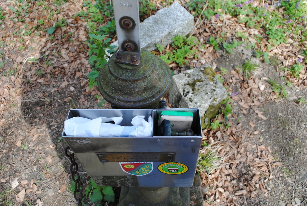
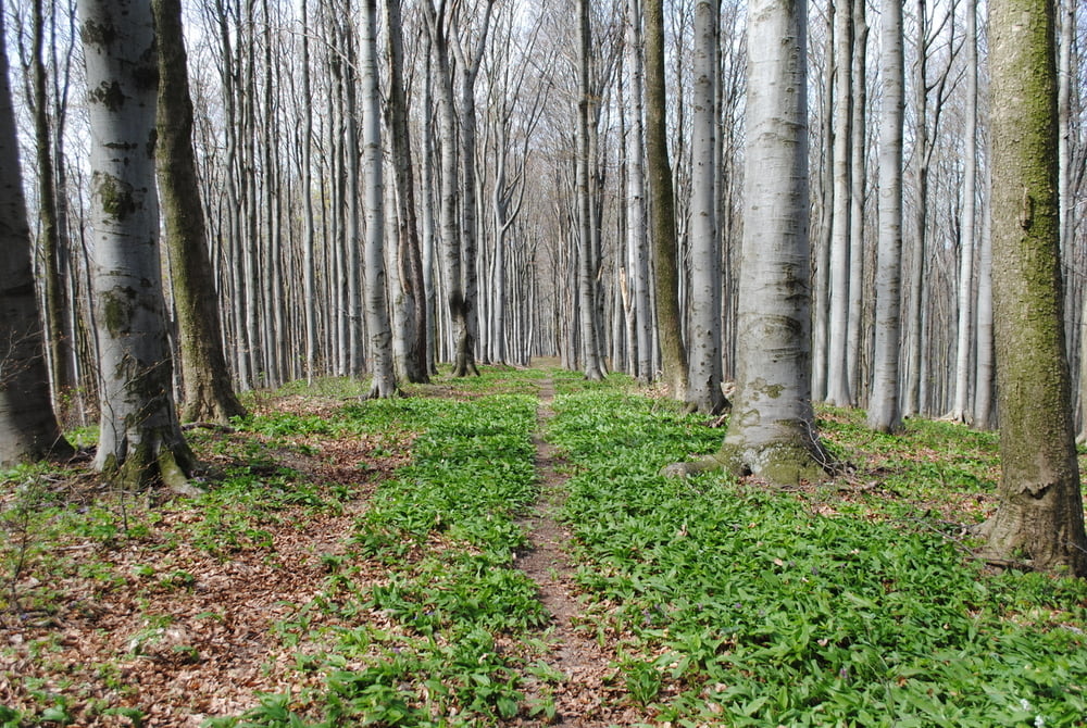
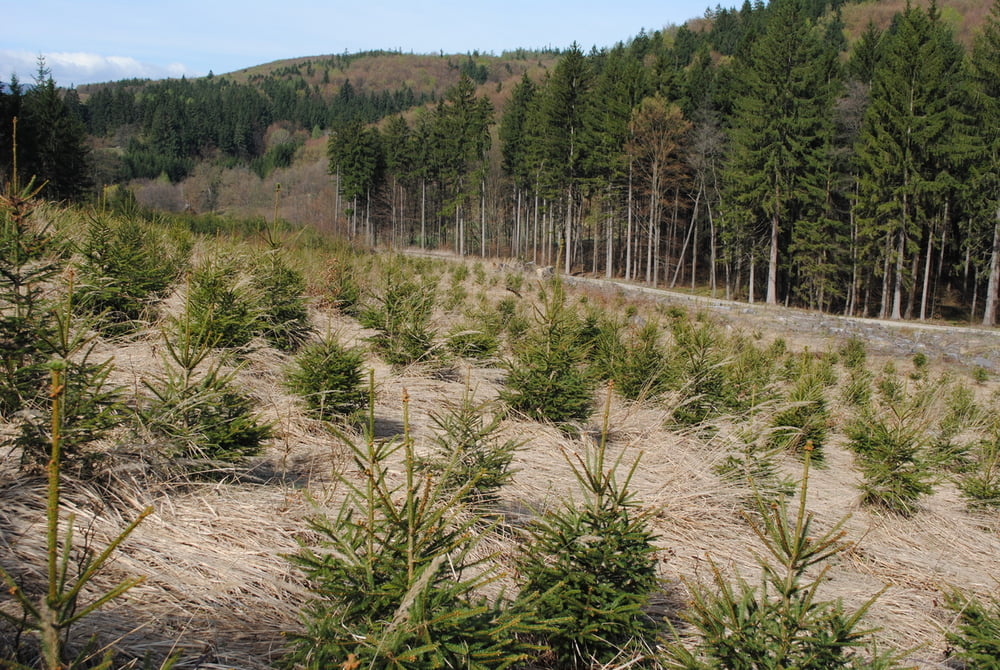
Start in Hainbach(Parkmöglichkeit).Übergang auf roter Markierung nach Weidenbach.Weiter in Richtung Buchelbach und dann rechts hinauf ,unmarkiert durch den Wald bis zur querenden Forststrasse.Dann über eine gut sichtbare Waldschneise direkt zum Gipfel.Am Gipfel, Kreuz und neues Gipfelbuch (wieder gewidmet von Bruno)besichtigen(Altes Gipfelbuch wurde entwendet ist aber glücklicherweise wieder aufgetaucht).Abstieg durch die mittlere Schneise und auf Forststrasse nach rechts.Nach ca.300 Meter wieder quer durch den Wald bis zur Markierung (rot)des Forstweges nach Buchelbach.Zurück wieder auf roter Markierung über Weidenbach nach Hainbach.

Tour gallery

Tour map and elevation profile

  • Open Street Map
  • Google
Minimum height 379 m Maximum height 645 m Detailed view

More about the tour author

LeoCheops
Member since 2008

Send private message

Comments

GPS tracks

Trackpoints
  • GPX / Garmin Map Source (gpx) download
  • TCX / Garmin Training Center® (tcx) download
  • CRS / Garmin Training Center® (crs) download
  • Google Earth (kml) download
  • G7ToWin (g7t) download
  • TTQV (trk) download
  • Overlay (ovl) download
  • Fugawi (txt) download
  • Kompass (DAV) Track (tk) download
  • Track data sheet (pdf) download
  • Original file of the author (gpx) download

More about the tour author

LeoCheops
Member since 2008

Send private message
Share track
Add to my favorites
Remove from my favorites
Edit tags
My score
Rate
Track: Von Hainbach auf den Roßgipfel (08.04.2011)
Type: Mountain hiking
Distance: 8,1 km
Evaluated on:
Duration:
Day(s)
Hour(s)
Minute(s)
Score: Landscape Fun factor Fitness Technique