Login

Forgot your login?

Cookies have to be accepted!
Your browser's cookie functionality is disabled. Please enable this functionality.

Not a member yet?

Register now
Login

Available for registred users only

Log in to use this feature.

Forgot your login?

Cookies have to be accepted!
Your browser's cookie functionality is disabled. Please enable this functionality.

Not a member yet?

Register now
Filter
Categories
Advanced filters
  • Distance (km)
  • Height
Save filters Reset filter

TrackRank

QRCode

Technical data

Distance8,3 km Height95 m Way down109 m Duration02:35 h:m Date13.04.2011
Scores Author Landscape Fun factor Fitness Technique

Statistics

271 Views Scores 34 Downloads Average
Rate
  • Track data sheet
  • Directions
  • Downloads
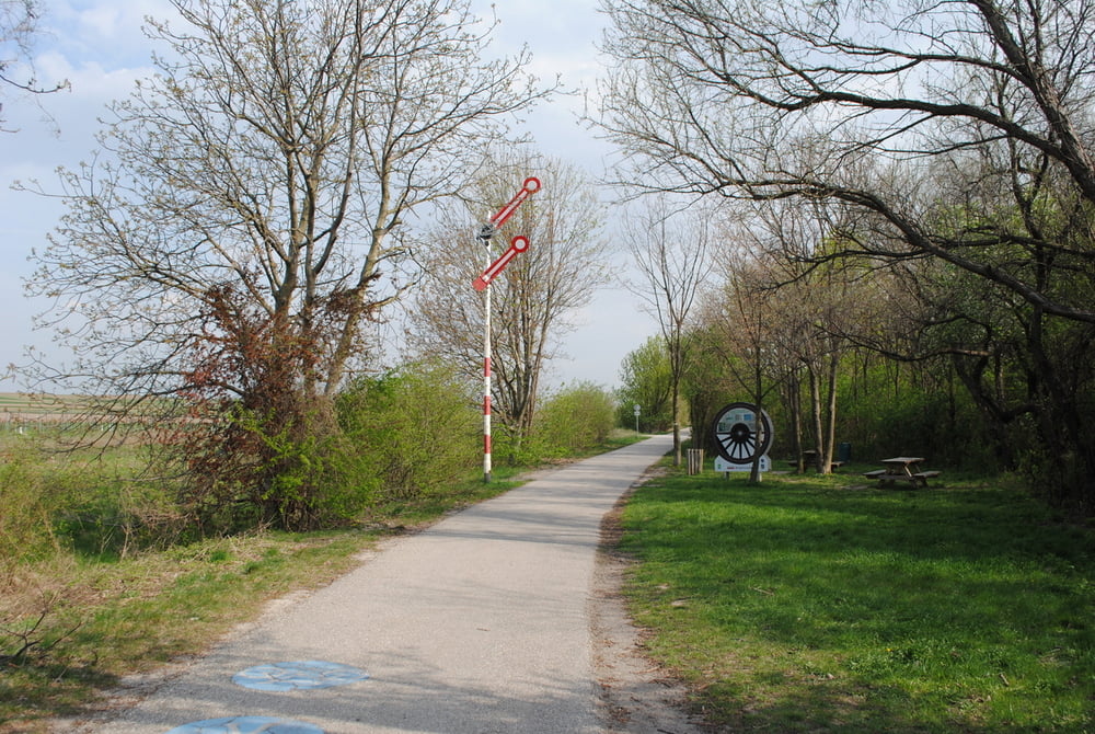
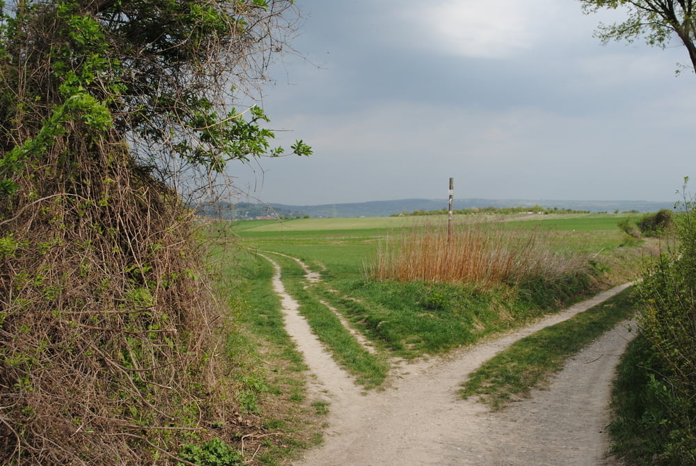
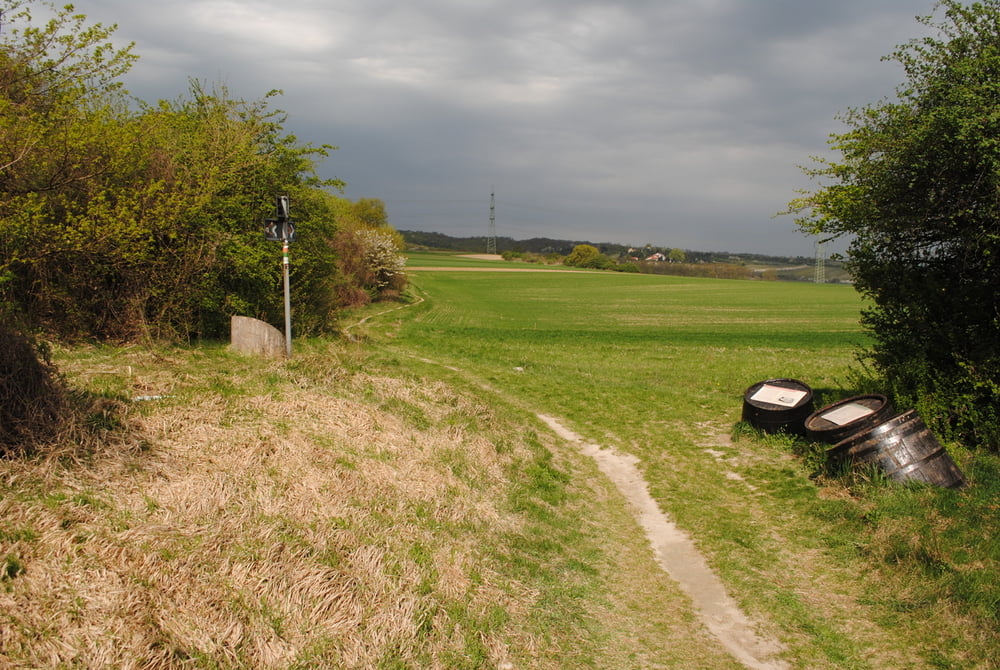
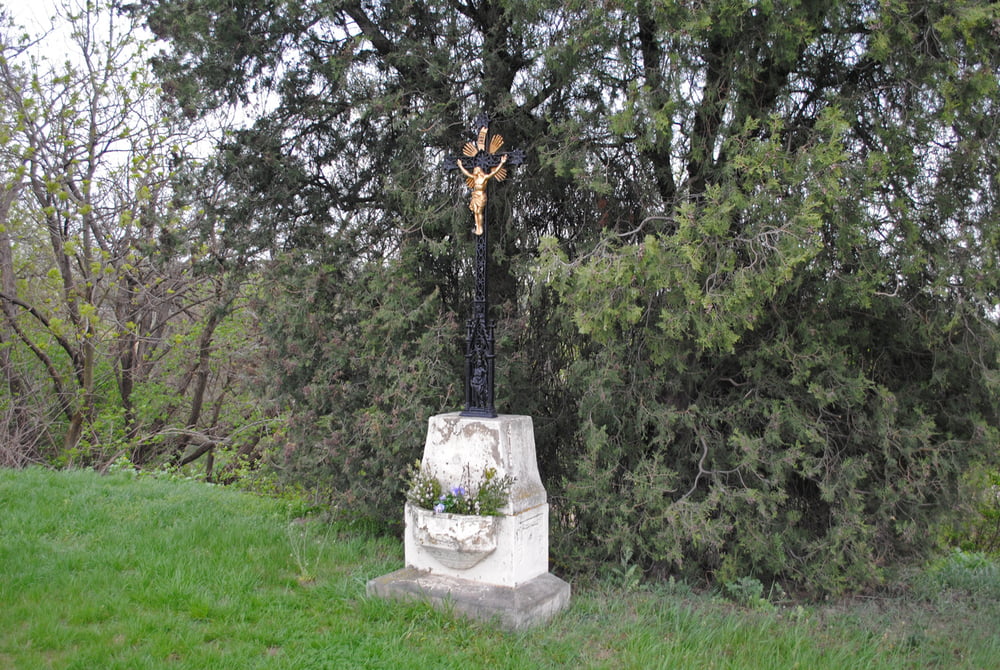
Von Stammersdorf ,die Brünnerstrasse querend durch Weingärten und Felder.Über den Mitterhaidenweg bis zur Querung mit der Stammersdorferkellergasse .Beginnender starker Regen,daher haben wir uns den Aufstieg zum Magdalenenhof erspart.Die Stammersdorferkellergasse nach links bis zum Steinernen Kreuz und weiter durch die Krottenhofgasse und den Mühlweg bis zur Pragerstrasse und Schnellbahnhaltestelle Strebersdorf.Leider durch das Wetter eine veunglückte Tour ,aber sicher empfehlenswert im Herbst vor der Weinernte.

Tour gallery

Tour map and elevation profile

  • Open Street Map
  • Google
Minimum height 162 m Maximum height 237 m Detailed view

More about the tour author

LeoCheops
Member since 2008

Send private message

Comments

GPS tracks

Trackpoints
  • GPX / Garmin Map Source (gpx) download
  • TCX / Garmin Training Center® (tcx) download
  • CRS / Garmin Training Center® (crs) download
  • Google Earth (kml) download
  • G7ToWin (g7t) download
  • TTQV (trk) download
  • Overlay (ovl) download
  • Fugawi (txt) download
  • Kompass (DAV) Track (tk) download
  • Track data sheet (pdf) download
  • Original file of the author (gpx) download

More about the tour author

LeoCheops
Member since 2008

Send private message
Share track
Add to my favorites
Remove from my favorites
Edit tags
My score
Rate
Track: Wien Rundumadum Teilstrecke 22_23 (12.04.2011)
Type: Hiking
Distance: 8,3 km
Evaluated on:
Duration:
Day(s)
Hour(s)
Minute(s)
Score: Landscape Fun factor Fitness Technique