Login

Forgot your login?

Cookies have to be accepted!
Your browser's cookie functionality is disabled. Please enable this functionality.

Not a member yet?

Register now
Login

Available for registred users only

Log in to use this feature.

Forgot your login?

Cookies have to be accepted!
Your browser's cookie functionality is disabled. Please enable this functionality.

Not a member yet?

Register now
Filter
Categories
Advanced filters
  • Distance (km)
  • Height
Save filters Reset filter

TrackRank

QRCode

Technical data

Distance23,1 km Height951 m Way down932 m Duration00:00 h:m Date21.04.2011
Scores Author Landscape Fun factor Fitness Technique

Statistics

1290 Views Scores 100 Downloads Average
Rate
  • Track data sheet
  • Directions
  • Downloads

 Bike and Hike


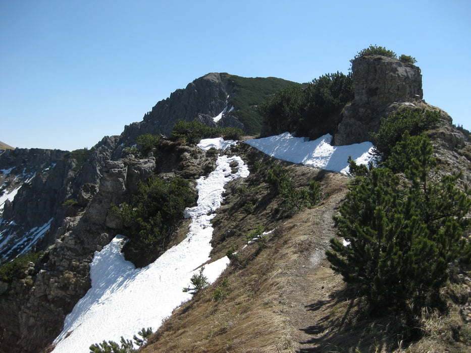
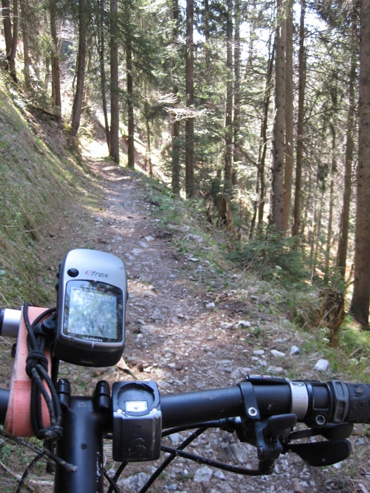
Wir starten im Linderhoftal bei Graswang, weiter zur Kuhalm. Ab hier Tragepassage bis zum Joch. Steil und unangenehm. Rechts ginge es zum Kienjoch, wir halten uns links zum Windstierlkopf. Der Weg ist Mist fürs Radl. Eng, schmal und garnicht zum Befahren. Das Radl muss man schultern, nix mit auf dem Rücken tragen da die Büsche sehr eng sind. Sobald man diesen Teil der Strecke geschafft hat geht's runter richtung Enningalm. Ab da belohnt ein supergeiler flowiger Singletrail die ganze Schinderei. Achtung Gegenverkehr möglich! Zurück Richtung Graswang auf dem angenehmen leicht abfallenden Wanderweg zurück zum Linderhoftal

Tour gallery

Tour map and elevation profile

  • Open Street Map
  • Google
Minimum height 898 m Maximum height 1821 m Detailed view

More about the tour author

mgsugar
Member since 2008

Send private message

Comments

GPS tracks

Trackpoints
  • GPX / Garmin Map Source (gpx) download
  • TCX / Garmin Training Center® (tcx) download
  • CRS / Garmin Training Center® (crs) download
  • Google Earth (kml) download
  • G7ToWin (g7t) download
  • TTQV (trk) download
  • Overlay (ovl) download
  • Fugawi (txt) download
  • Kompass (DAV) Track (tk) download
  • Track data sheet (pdf) download
  • Original file of the author (gpx) download

More about the tour author

mgsugar
Member since 2008

Send private message
Share track
Add to my favorites
Remove from my favorites
Edit tags
My score
Rate
Track: Bike and Hike Windstierlkopf-Enningalm
Type: Mountain bike
Distance: 23,1 km
Evaluated on:
Duration:
Day(s)
Hour(s)
Minute(s)
Score: Landscape Fun factor Fitness Technique