


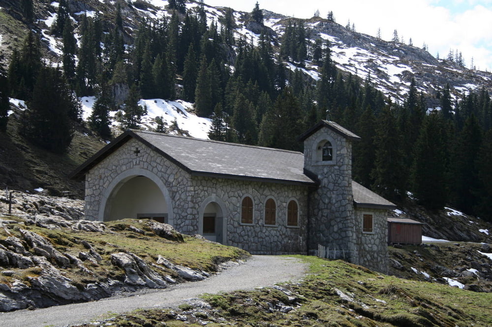
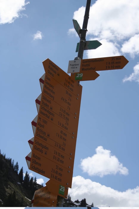
Weitgehend abseits der Pass-Strasse führt dieser Wanderweg vom Kanton Schwyz ins Kanton Glarus. Es gibt viele schmale Wegpassagen, die durchweg einfach zu gehen sind. Gerade im Frühjahr war extrem wenig los. Natur pur!
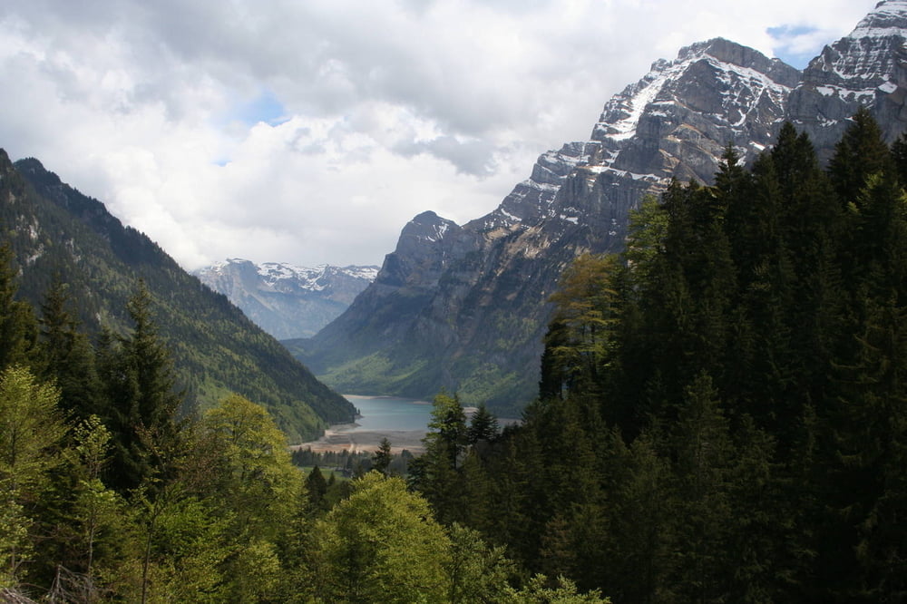
Auch im Klöntal fehlten noch die städtischen Ausflügler (ZH), die ihren Liegestuhl 5m neben das Auto stellen.
Tour gallery
Tour map and elevation profile
Minimum height 608 m
Maximum height 1549 m
More about the tour author
|
|
s-braeutigam |
Comments

Ab SBB-Bahnhof Schwyz fährt die Buslinie 1 nach Muotathal.
im Klöntal kann man mit der Postauto-Linie 18 in Richtung Glarus fahren. Ab April/Mai fährt das Postauto zunächst nur am Wochenende, im Sommer auch täglich.
GPS tracks
Trackpoints-
GPX / Garmin Map Source (gpx) download
-
TCX / Garmin Training Center® (tcx) download
-
CRS / Garmin Training Center® (crs) download
-
Google Earth (kml) download
-
G7ToWin (g7t) download
-
TTQV (trk) download
-
Overlay (ovl) download
-
Fugawi (txt) download
-
Kompass (DAV) Track (tk) download
-
Track data sheet (pdf) download
-
Original file of the author (gpx) download
More about the tour author
|
|
s-braeutigam |
Add to my favorites
Remove from my favorites
Edit tags
Open track
My score
Rate