Login

Forgot your login?

Cookies have to be accepted!
Your browser's cookie functionality is disabled. Please enable this functionality.

Not a member yet?

Register now
Login

Available for registred users only

Log in to use this feature.

Forgot your login?

Cookies have to be accepted!
Your browser's cookie functionality is disabled. Please enable this functionality.

Not a member yet?

Register now
Filter
Categories
Advanced filters
  • Distance (km)
  • Height
Save filters Reset filter

TrackRank

QRCode

Technical data

Distance8,5 km Height187 m Way down54 m Duration02:20 h:m Date06.05.2011
Scores Author Landscape Fun factor Fitness Technique

Statistics

2629 Views Scores 29 Downloads Average
Rate
  • Track data sheet
  • Directions
  • Downloads

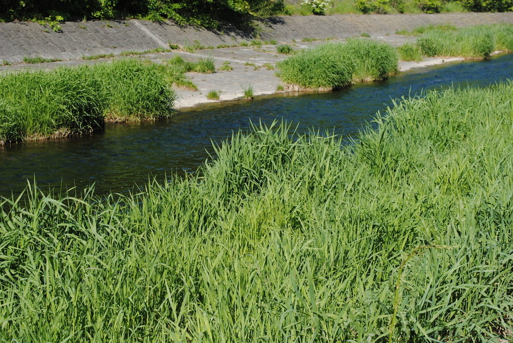
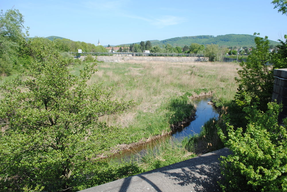
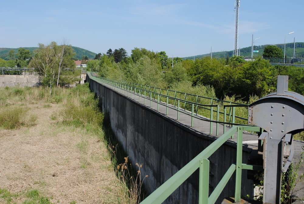
U-Bahnstation Hütteldorf.Übergang Hütteldorfer Steg,dort befindet sich auch der Abgang in das Wientalbecken.Nunmehr Wanderung entlang des Wienflusses bis zum Auslaufbauwerk und weiter bis zur Brücke Wolf in der Au.Dort Einsicht in das obere Rückhaltebecken.Wieder zurück bis zum Wienflusslauf und weiter bis zum Gebäude der Wienflussaufsicht.Gleicher Weg zurück.

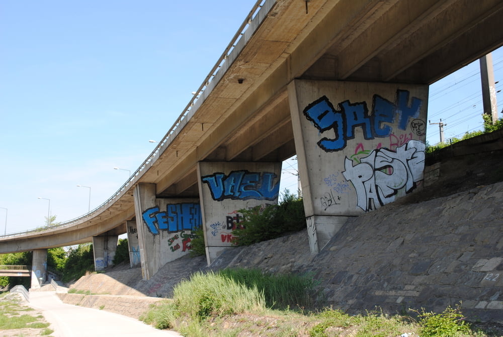
Tip:Interessante Spraykunst an den Pfeilern des Autobahnzubringers.

Tip 2:Diese Wanderung ist ein Vorschlag aus den Buch "Wien geht".(siehe Link)

Further information at

http://www.wildurb.at/infos/wildurb/

Tour gallery

Tour map and elevation profile

  • Open Street Map
  • Google
Minimum height 92 m Maximum height 270 m Detailed view

More about the tour author

LeoCheops
Member since 2008

Send private message

Comments

GPS tracks

Trackpoints
  • GPX / Garmin Map Source (gpx) download
  • TCX / Garmin Training Center® (tcx) download
  • CRS / Garmin Training Center® (crs) download
  • Google Earth (kml) download
  • G7ToWin (g7t) download
  • TTQV (trk) download
  • Overlay (ovl) download
  • Fugawi (txt) download
  • Kompass (DAV) Track (tk) download
  • Track data sheet (pdf) download
  • Original file of the author (gpx) download

More about the tour author

LeoCheops
Member since 2008

Send private message
Share track
Add to my favorites
Remove from my favorites
Edit tags
My score
Rate
Track: Wanderung entlang des Wienflusses zu den Rückhaltebecken (06.05.2011)
Type: Hiking
Distance: 8,5 km
Evaluated on:
Duration:
Day(s)
Hour(s)
Minute(s)
Score: Landscape Fun factor Fitness Technique