Login

Forgotten password?

Cookies have to be accepted!
Your browser's cookie functionality is disabled. Please enable this functionality.

Not a member yet?

Register now
Login

Available for registred users only

Log in to use this feature.

Forgotten password?

Cookies have to be accepted!
Your browser's cookie functionality is disabled. Please enable this functionality.

Not a member yet?

Register now
Filter
Categories
Advanced filters
  • Distance (km)
  • Height
Save filters Reset filter

TrackRank

QRCode

Technical data

Distance12,4 km Height348 m Way down346 m Duration01:15 h:m Date06.05.2011
Scores Author Landscape Fun factor Fitness Technique

Statistics

320 Views Scores 35 Downloads Average
Rate
  • Track data sheet
  • Directions
  • Downloads
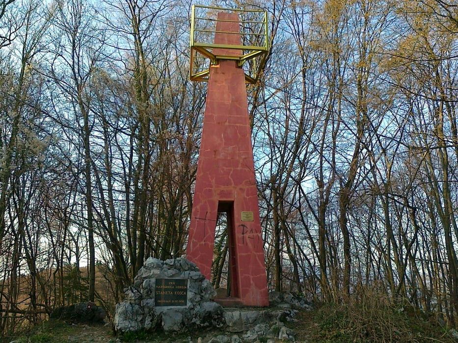
Začenmo pri ribogojnici Povodje. Po makedamski cesti do Gameljn, kjer nadaljujemo po asfaltu. Zavijmeo na cesto proti Rašici. Pri znaku za Rašico zavijemo levo na makadmsko cesto, ki nas nato pripelje na vrh Rašice do stolpa. Od tam lep spust po planinski poti v Povodje.
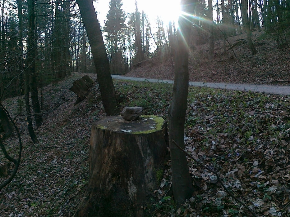
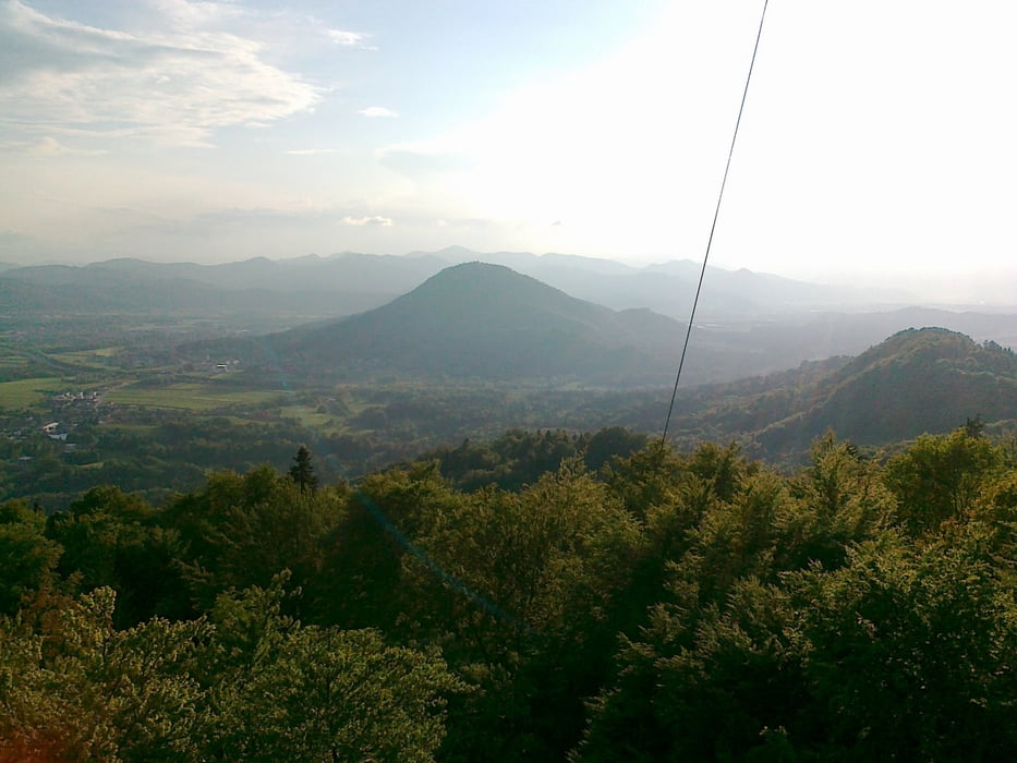
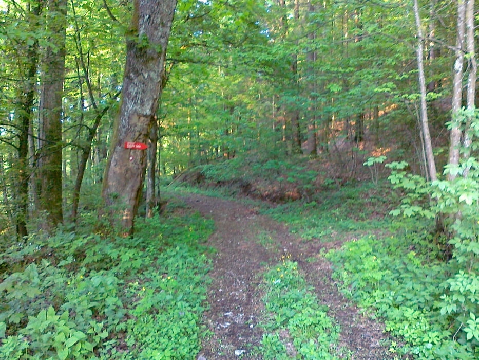
Tour gallery

Tour map and elevation profile

  • Open Street Map
  • Google
Minimum height 304 m Maximum height 654 m Detailed view

More about the tour author

mlaki
Member since 2011

Send private message

Comments

GPS tracks

Trackpoints
  • GPX / Garmin Map Source (gpx) download
  • TCX / Garmin Training Center® (tcx) download
  • CRS / Garmin Training Center® (crs) download
  • Google Earth (kml) download
  • G7ToWin (g7t) download
  • TTQV (trk) download
  • Overlay (ovl) download
  • Fugawi (txt) download
  • Kompass (DAV) Track (tk) download
  • Track data sheet (pdf) download
  • Original file of the author (gpx) download

More about the tour author

mlaki
Member since 2011

Send private message
Share track
Add to my favorites
Remove from my favorites
Edit tags
My score
Rate
Track: Povodje-Rašica
Type: Mountain bike
Distance: 12,4 km
Evaluated on:
Duration:
Day(s)
Hour(s)
Minute(s)
Score: Landscape Fun factor Fitness Technique