Login

Forgotten password?

Cookies have to be accepted!
Your browser's cookie functionality is disabled. Please enable this functionality.

Not a member yet?

Register now
Login

Available for registred users only

Log in to use this feature.

Forgotten password?

Cookies have to be accepted!
Your browser's cookie functionality is disabled. Please enable this functionality.

Not a member yet?

Register now
Filter
Categories
Advanced filters
  • Distance (km)
  • Height
Save filters Reset filter

TrackRank

QRCode

Technical data

Distance9,3 km Height457 m Way down464 m Duration03:00 h:m Date18.05.2011
Scores Author Landscape Fun factor Fitness Technique

Statistics

257 Views Scores 31 Downloads Average
Rate
  • Track data sheet
  • Directions
  • Downloads
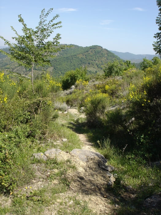
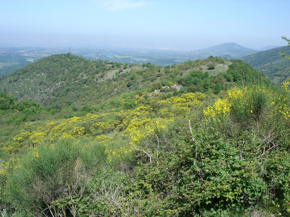
Diese einfache Wanderung verläuft auf Wanderwegen, Pfaden und kleinen geteerten Straßen mit wenig steilen An- und Abstiegen.
 

Tour gallery

Tour map and elevation profile

  • Open Street Map
  • Google
Minimum height 422 m Maximum height 750 m Detailed view

More about the tour author

rödivomsee
Member since 2008

Send private message

Comments

Parkmöglichkeit gibt es entlang der Straße vor dem archäologischen Museum (Palazzo Barberini) im oberen Stadtteil von Palestrina.
 

GPS tracks

Trackpoints
  • GPX / Garmin Map Source (gpx) download
  • TCX / Garmin Training Center® (tcx) download
  • CRS / Garmin Training Center® (crs) download
  • Google Earth (kml) download
  • G7ToWin (g7t) download
  • TTQV (trk) download
  • Overlay (ovl) download
  • Fugawi (txt) download
  • Kompass (DAV) Track (tk) download
  • Track data sheet (pdf) download
  • Original file of the author (gpx) download

More about the tour author

rödivomsee
Member since 2008

Send private message
Share track
Add to my favorites
Remove from my favorites
Edit tags
My score
Rate
Track: Palestrina
Type: Hiking
Distance: 9,3 km
Evaluated on:
Duration:
Day(s)
Hour(s)
Minute(s)
Score: Landscape Fun factor Fitness Technique