Login

Forgot your login?

Cookies have to be accepted!
Your browser's cookie functionality is disabled. Please enable this functionality.

Not a member yet?

Register now
Login

Available for registred users only

Log in to use this feature.

Forgot your login?

Cookies have to be accepted!
Your browser's cookie functionality is disabled. Please enable this functionality.

Not a member yet?

Register now
Filter
Categories
Advanced filters
  • Distance (km)
  • Height
Save filters Reset filter

TrackRank

QRCode

Technical data

Distance9,7 km Height571 m Way down476 m Duration04:50 h:m Date19.05.2011
Scores Author Landscape Fun factor Fitness Technique

Statistics

295 Views Scores 19 Downloads Average
Rate
  • Track data sheet
  • Directions
  • Downloads

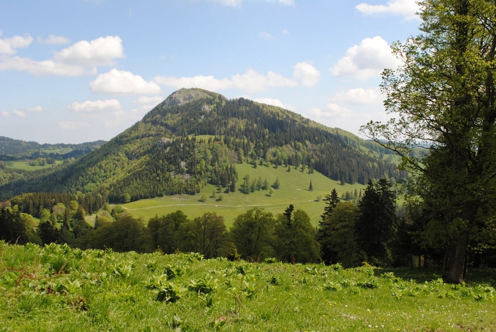
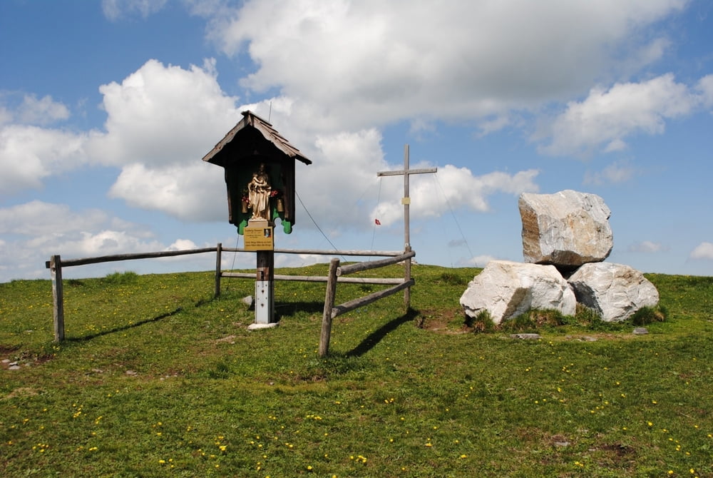
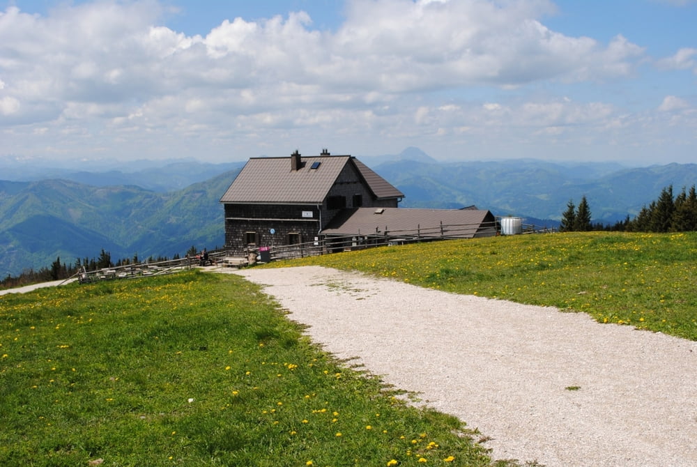
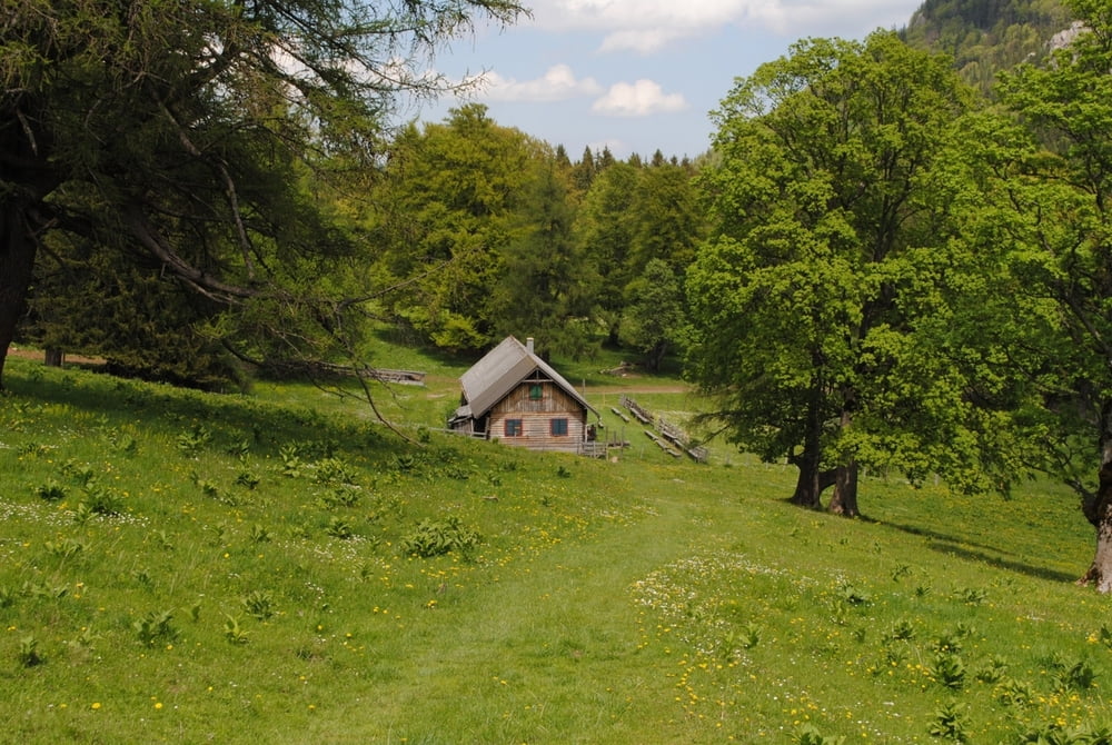
Start am Parkplatz Ebenwaldhöhe.Auf roter Markierung rechts am Hochstaff vorbei bis zur Kleinzeller Hinteralm.Leider noch nicht bewirtschaftet (vermutlich erst Anfang Juni).Auf blauer Markierung auf den Gipfel.Rast im Reisalpenschutzhaus (Tip:Fleisch-oder Grammelknödel versuchen).Rückweg gleich Aufstieg.

Gleiche Tour wie 2007.

Further information at

http://www.oetk.at/index.htm?/huetten/34.htm

Tour gallery

Tour map and elevation profile

  • Open Street Map
  • Google
Minimum height 939 m Maximum height 1406 m Detailed view

More about the tour author

LeoCheops
Member since 2008

Send private message

Comments

GPS tracks

Trackpoints
  • GPX / Garmin Map Source (gpx) download
  • TCX / Garmin Training Center® (tcx) download
  • CRS / Garmin Training Center® (crs) download
  • Google Earth (kml) download
  • G7ToWin (g7t) download
  • TTQV (trk) download
  • Overlay (ovl) download
  • Fugawi (txt) download
  • Kompass (DAV) Track (tk) download
  • Track data sheet (pdf) download
  • Original file of the author (gpx) download

More about the tour author

LeoCheops
Member since 2008

Send private message
Share track
Add to my favorites
Remove from my favorites
Edit tags
My score
Rate
Track: Wieder auf die Reisalpe (18.05.2011)
Type: Mountain hiking
Distance: 9,7 km
Evaluated on:
Duration:
Day(s)
Hour(s)
Minute(s)
Score: Landscape Fun factor Fitness Technique