Login

Forgot your login?

Cookies have to be accepted!
Your browser's cookie functionality is disabled. Please enable this functionality.

Not a member yet?

Register now
Login

Available for registred users only

Log in to use this feature.

Forgot your login?

Cookies have to be accepted!
Your browser's cookie functionality is disabled. Please enable this functionality.

Not a member yet?

Register now
Filter
Categories
Advanced filters
  • Distance (km)
  • Height
Save filters Reset filter

TrackRank

QRCode

Technical data

Distance14,9 km Height426 m Way down547 m Duration04:49 h:m Date27.05.2011
Scores Author Landscape Fun factor Fitness Technique

Statistics

567 Views Scores 58 Downloads Average
Rate
  • Track data sheet
  • Directions
  • Downloads
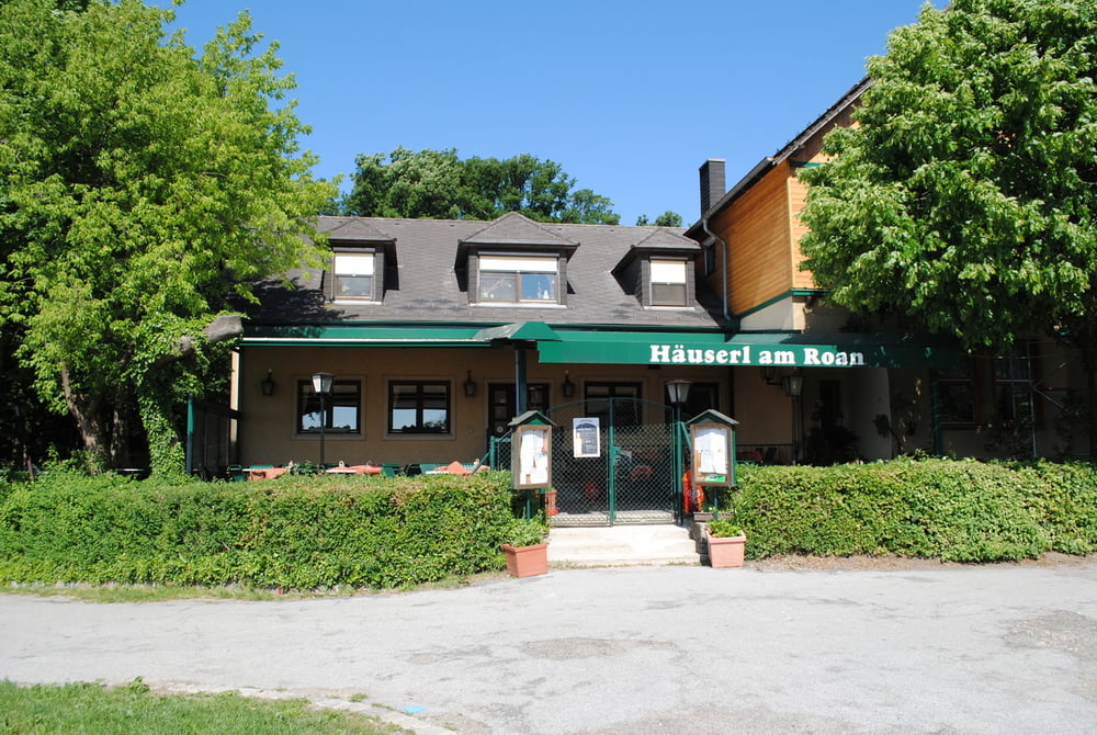
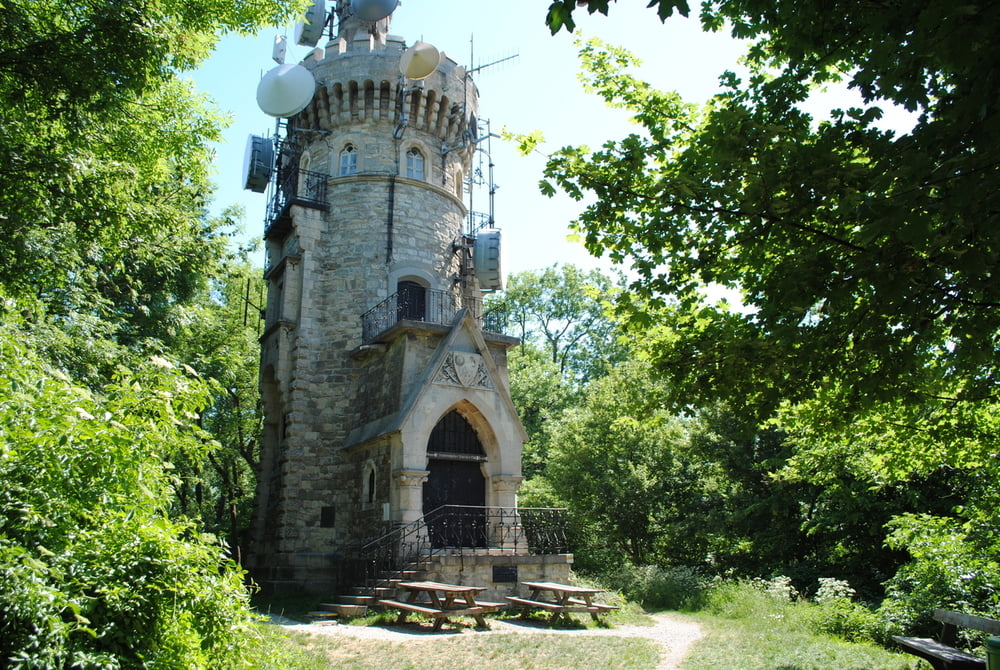
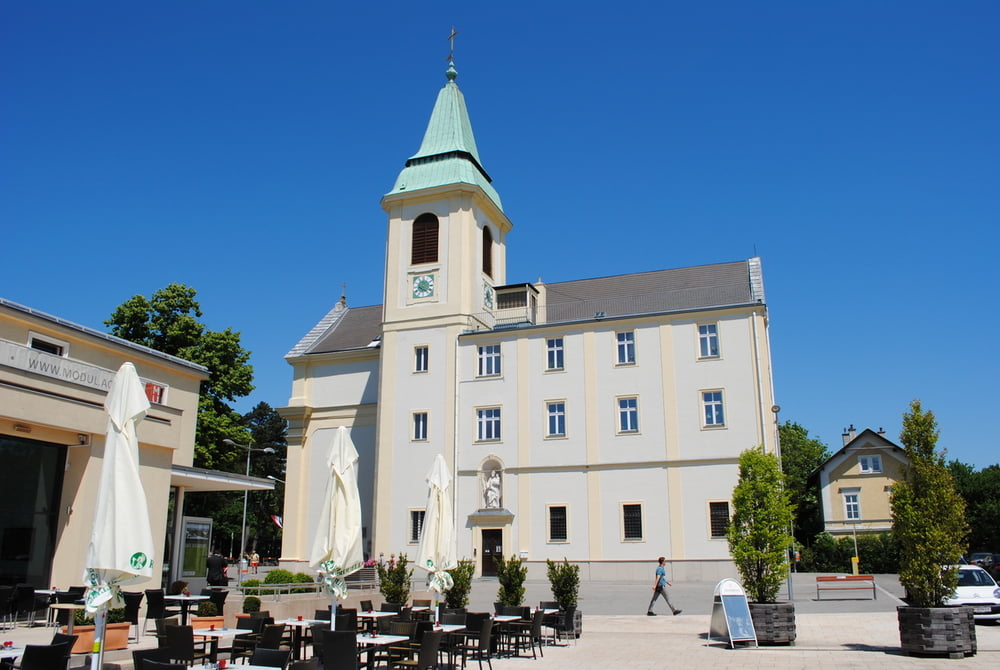
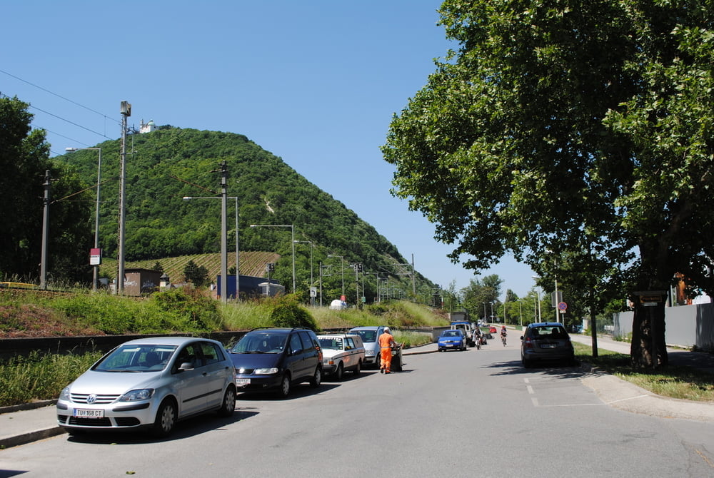
Start "GH.Häuserl am Roan" (gut beschildert,aber trotzdem aufpassen ,da wir ja gegen die beschilderte Richtung gehen_siehe Bezeichnung Teilstrecke 2_1).Über "Grüß di a Gottwirt" auf den Hermannskogel(Habsburgwarte)und weiter zum Wirtshaus Jägerwiese.Auf Höhenweg bis zum Sender Kahlenberg (Stefaniewarte),Kapelle St.Josef (schöne Aussicht auf Wien).Weiter auf den Leopoldsberg und über den Nasenweg zum Kahlenbergdorf und entlang der Donau nach Nußdorf.

Tour gallery

Tour map and elevation profile

  • Open Street Map
  • Google
Minimum height 173 m Maximum height 565 m Detailed view

More about the tour author

LeoCheops
Member since 2008

Send private message

Comments

GPS tracks

Trackpoints
  • GPX / Garmin Map Source (gpx) download
  • TCX / Garmin Training Center® (tcx) download
  • CRS / Garmin Training Center® (crs) download
  • Google Earth (kml) download
  • G7ToWin (g7t) download
  • TTQV (trk) download
  • Overlay (ovl) download
  • Fugawi (txt) download
  • Kompass (DAV) Track (tk) download
  • Track data sheet (pdf) download
  • Original file of the author (gpx) download

More about the tour author

LeoCheops
Member since 2008

Send private message
Share track
Add to my favorites
Remove from my favorites
Edit tags
My score
Rate
Track: Wien Rundumadum Teilstrecke 2_1 (26.05.2011)
Type: Hiking
Distance: 14,9 km
Evaluated on:
Duration:
Day(s)
Hour(s)
Minute(s)
Score: Landscape Fun factor Fitness Technique