Login

Forgot your login?

Cookies have to be accepted!
Your browser's cookie functionality is disabled. Please enable this functionality.

Not a member yet?

Register now
Login

Available for registred users only

Log in to use this feature.

Forgot your login?

Cookies have to be accepted!
Your browser's cookie functionality is disabled. Please enable this functionality.

Not a member yet?

Register now
Filter
Categories
Advanced filters
  • Distance (km)
  • Height
Save filters Reset filter

TrackRank

QRCode

Technical data

Distance5,8 km Height375 m Way down482 m Duration05:00 h:m Date28.05.2011
Scores Author Landscape Fun factor Fitness Technique

Statistics

243 Views Scores 9 Downloads Average
Rate
  • Track data sheet
  • Directions
  • Downloads

Date: January 26, 2011

Start: 1660 m (Le Col parking area next to church)
Finish: 1660 m (Le Col parking area next to church)

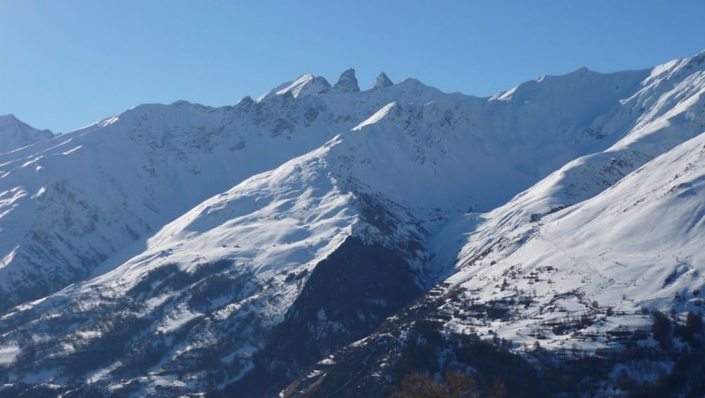
Highest point: 1940 m
Lowest point: 1660 m

Total ascent: 430 m
Total descent: 536 m

Information about the Valloire ski resort:
http://www.valloire.com

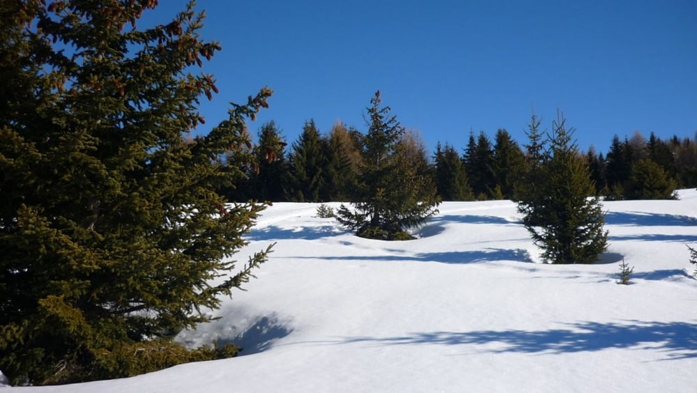
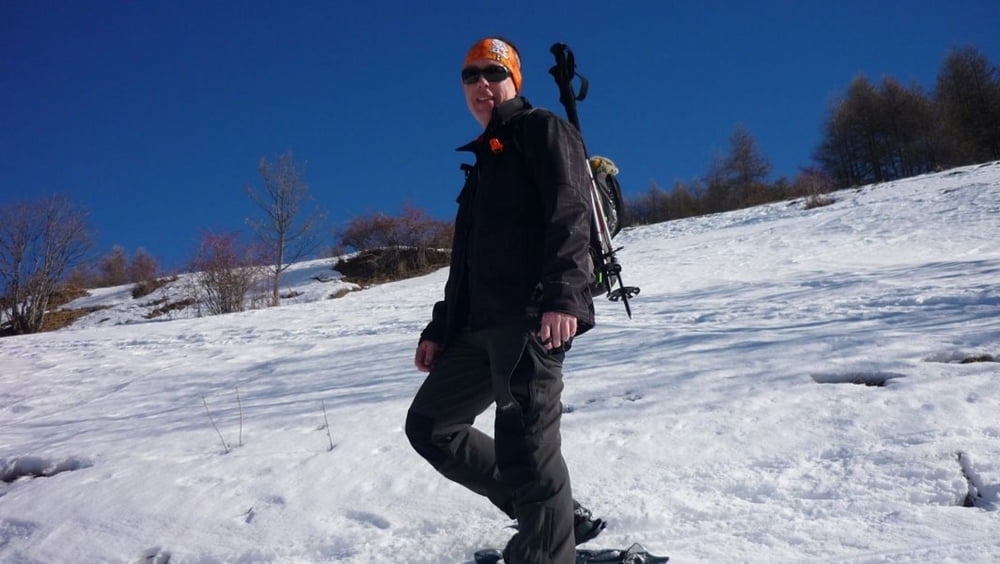
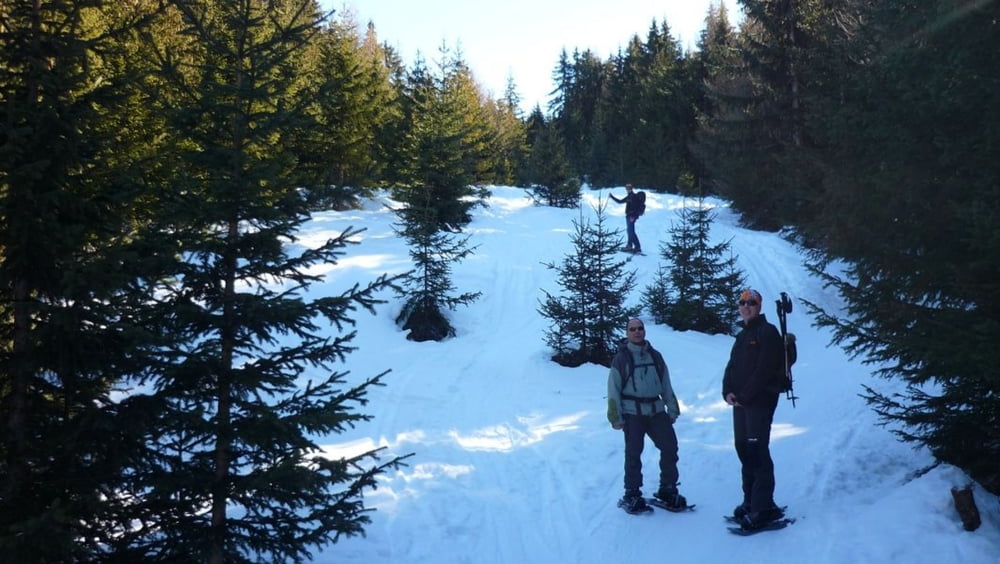
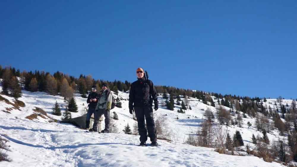
Relaxing day in the middle of a week of skiing.

Tour gallery

Tour map and elevation profile

  • Open Street Map
  • Google
Minimum height 1554 m Maximum height 1945 m Detailed view

More about the tour author

beepee
Member since 2009

Send private message

Comments

Park in the little village of Le Col, next to the church.

Follow the GPS track for the walk.

Pack enough food and drinks, there are no places to eat during the walk, no mountain huts at all.

GPS tracks

Trackpoints
  • GPX / Garmin Map Source (gpx) download
  • TCX / Garmin Training Center® (tcx) download
  • CRS / Garmin Training Center® (crs) download
  • Google Earth (kml) download
  • G7ToWin (g7t) download
  • TTQV (trk) download
  • Overlay (ovl) download
  • Fugawi (txt) download
  • Kompass (DAV) Track (tk) download
  • Track data sheet (pdf) download
  • Original file of the author (gpx) download

More about the tour author

beepee
Member since 2009

Send private message
Share track
Add to my favorites
Remove from my favorites
Edit tags
My score
Rate
Track: Valloire area snowshoeing
Type: Snowshoeing
Distance: 5,8 km
Evaluated on:
Duration:
Day(s)
Hour(s)
Minute(s)
Score: Landscape Fun factor Fitness Technique