

Schöne MTB Tour von Neumarkt über den Höhenberg ins Lengenbachthal,dann nach Voggenthal mit kurzer Einkehr in die Wastl-Alm und dann weiter richtung Pelchenhofen -Steinberg runter und wieder richtung NM
Viel Spaß
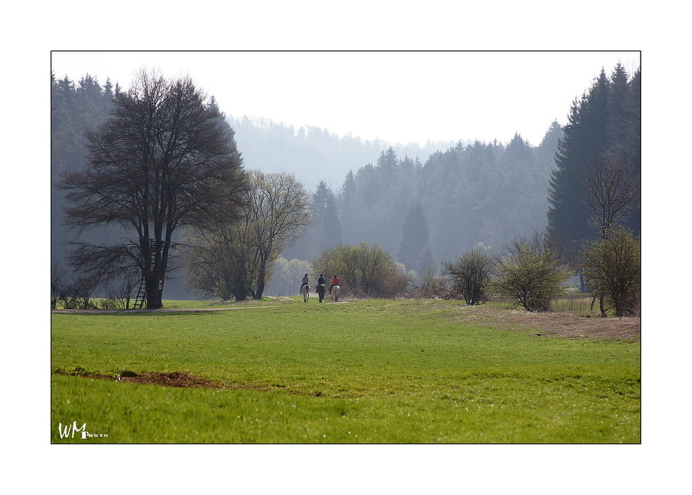
Tour gallery


Tour map and elevation profile
Minimum height 326 m
Maximum height 515 m
More about the tour author
|
|
Joker78 |
Comments

Parkmöglichkeiten an der Sturmwiese Ecke Wolfsteinstr./Badstr.
GPS tracks
Trackpoints-
GPX / Garmin Map Source (gpx) download
-
TCX / Garmin Training Center® (tcx) download
-
CRS / Garmin Training Center® (crs) download
-
Google Earth (kml) download
-
G7ToWin (g7t) download
-
TTQV (trk) download
-
Overlay (ovl) download
-
Fugawi (txt) download
-
Kompass (DAV) Track (tk) download
-
Track data sheet (pdf) download
-
Original file of the author (gpx) download
More about the tour author
|
|
Joker78 |
Add to my favorites
Remove from my favorites
Edit tags
Open track
My score
Rate