
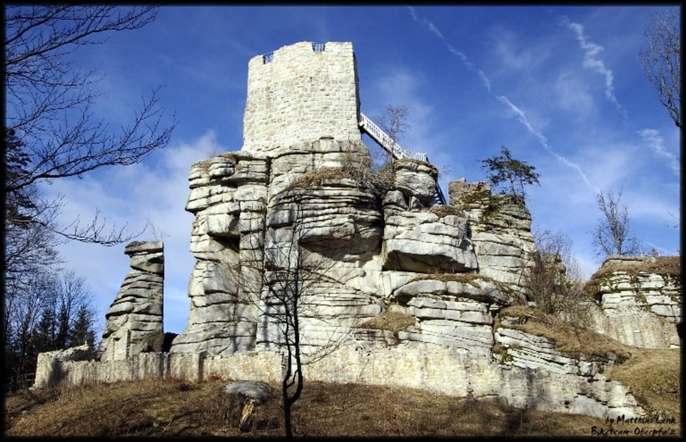

Eine schöne Tour mit allem was ein Mountainbiker benötigt. Der Weg ist sehr abwechslungsreich und führt über Stock und Stein aber auch normalen Waldwegen. Teerstraßen wurden so gut es ging aus der Tour gelassen. Wer am höchsten Punkt noch Kraft hat, kann die 150 Stufen auf dem Oberpfalzturm in Angriff nehmen und den 360° Panoramablick ins weite Land genießen.
Tour gallery


Tour map and elevation profile
Minimum height 420 m
Maximum height 948 m
More about the tour author
|
|
Mtboberpfalz |
Comments

A93 - Regensburg - Hof
Ausfahrt Windischeschenbach auf halber Strecke
GPS tracks
Trackpoints-
GPX / Garmin Map Source (gpx) download
-
TCX / Garmin Training Center® (tcx) download
-
CRS / Garmin Training Center® (crs) download
-
Google Earth (kml) download
-
G7ToWin (g7t) download
-
TTQV (trk) download
-
Overlay (ovl) download
-
Fugawi (txt) download
-
Kompass (DAV) Track (tk) download
-
Track data sheet (pdf) download
-
Original file of the author (gpx) download
More about the tour author
|
|
Mtboberpfalz |
Add to my favorites
Remove from my favorites
Edit tags
Open track
My score
Rate