Login

Forgotten password?

Cookies have to be accepted!
Your browser's cookie functionality is disabled. Please enable this functionality.

Not a member yet?

Register now
Login

Available for registred users only

Log in to use this feature.

Forgotten password?

Cookies have to be accepted!
Your browser's cookie functionality is disabled. Please enable this functionality.

Not a member yet?

Register now
Filter
Categories
Advanced filters
  • Distance (km)
  • Height
Save filters Reset filter

TrackRank

QRCode

Technical data

Distance58,9 km Height0 m Way down0 m Duration04:00 h:m Date22.09.2002
Scores Author Landscape Fun factor Fitness Technique

Statistics

2056 Views Scores 231 Downloads Average
Rate
  • Track data sheet
  • Directions
  • Downloads
Ausgangspunkt der Tour ist St. Magdalena in Urfahr. Von dort geht es hinauf nach Helmonsödt und anschließend runter nach Bad Leonfelden. Dieser Teil der Strecke leichtes Gelände und man ist sehr schnell in Bad Leonfelden. Die Rückfahrt über Zwettel, entlang der Rodl nach Untergeng und anschließend rauf auf die Gis zehrt dann schon sehr an den Kräften. Zur Belohnung gibts anschließend die altbekannte Abfahrt nach Linz.
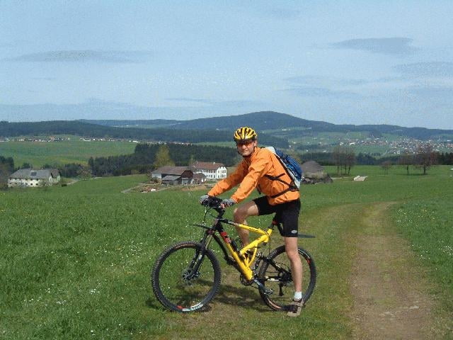
Tour gallery

Tour map and elevation profile

  • Open Street Map
  • Google
Minimum height Maximum height Detailed view

More about the tour author

Gerald

Comments

Über die A7 - entweder Abfahrt Urfahr oder Dornach - Richtung Magdalena, bei der Straßenbahnhaltestelle parken.

GPS tracks

Trackpoints
  • GPX / Garmin Map Source (gpx) download
  • TCX / Garmin Training Center® (tcx) download
  • CRS / Garmin Training Center® (crs) download
  • Google Earth (kml) download
  • G7ToWin (g7t) download
  • TTQV (trk) download
  • Overlay (ovl) download
  • Fugawi (txt) download
  • Kompass (DAV) Track (tk) download
  • Track data sheet (pdf) download
  • Original file of the author (g7t) download

More about the tour author

Gerald

Share track
Add to my favorites
Remove from my favorites
Edit tags
My score
Rate
Track: Linz - Bad Leonfelden
Type: Mountain bike
Distance: 58,9 km
Evaluated on:
Duration:
Day(s)
Hour(s)
Minute(s)
Score: Landscape Fun factor Fitness Technique