Login

Forgot your login?

Cookies have to be accepted!
Your browser's cookie functionality is disabled. Please enable this functionality.

Not a member yet?

Register now
Login

Available for registred users only

Log in to use this feature.

Forgot your login?

Cookies have to be accepted!
Your browser's cookie functionality is disabled. Please enable this functionality.

Not a member yet?

Register now
Filter
Categories
Advanced filters
  • Distance (km)
  • Height
Save filters Reset filter

TrackRank

QRCode

Technical data

Distance10,2 km Height280 m Way down306 m Duration03:53 h:m Date08.06.2011
Scores Author Landscape Fun factor Fitness Technique

Statistics

452 Views Scores 56 Downloads Average
Rate
  • Track data sheet
  • Directions
  • Downloads
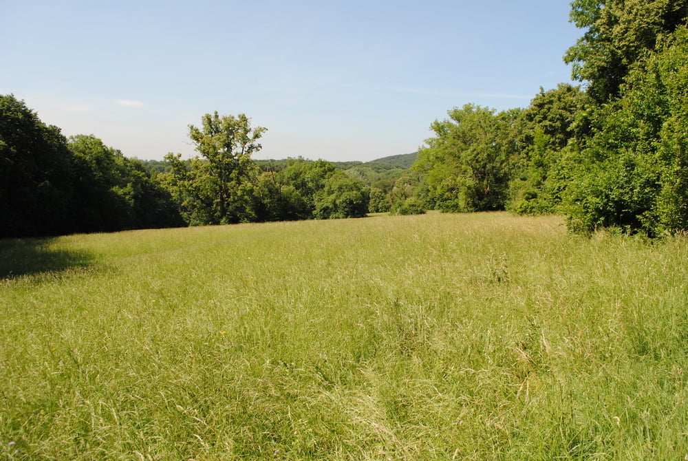
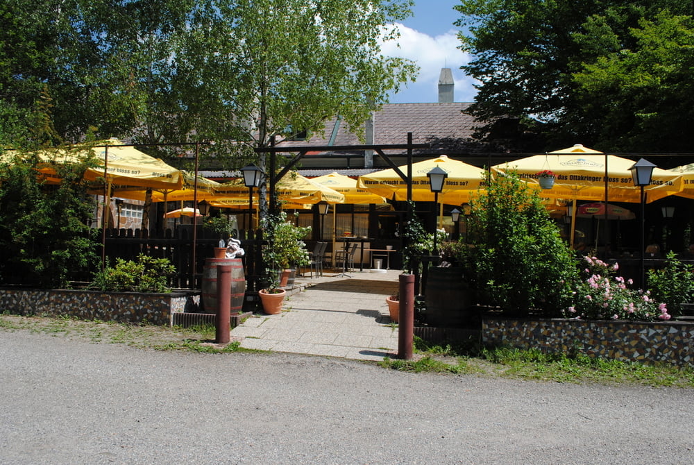
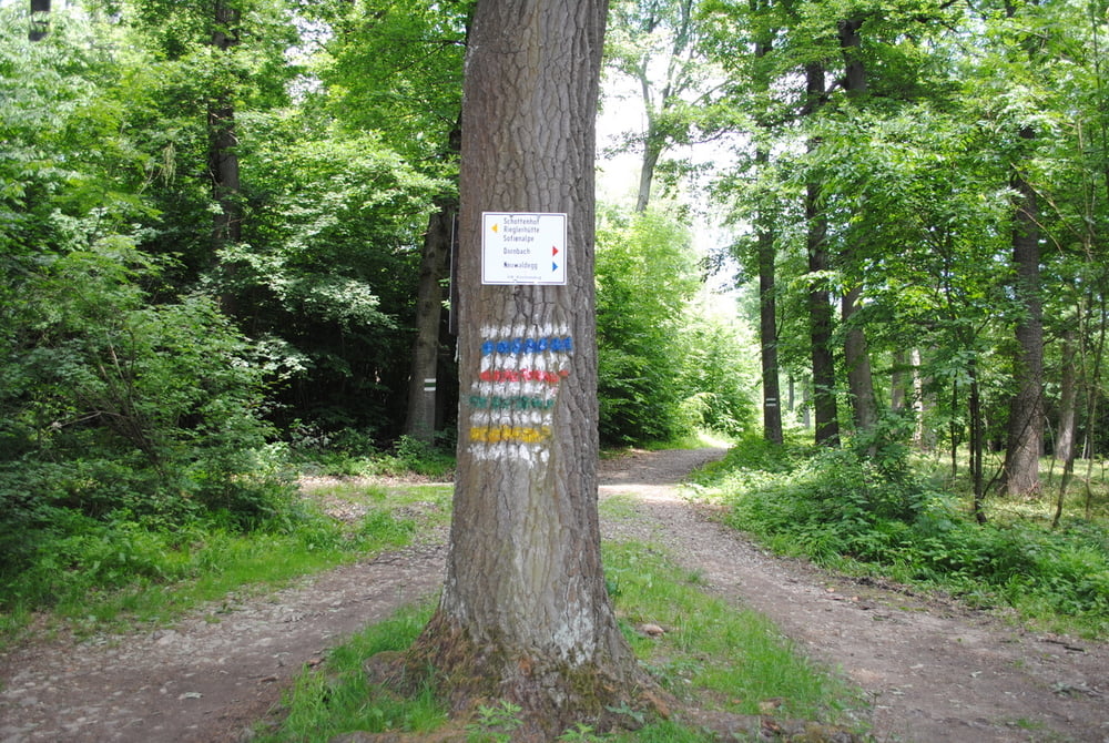
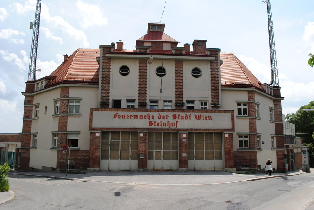
Startpunkt Busendstelle Waldandacht.Kurzes Stück die Höhenstrasse hinauf bis zur ersten Biegung.Dort liegt unterhalb der Strasse ein Durchgang (blau markiert) der uns, links gehalten ,zum Schnittpunkt mit roter Markierung führt.Weiter nun über das Hameau und durch den Schwarzenbergpark fast bis Neuwaldegg.Vor der Schwarzenbergallee scharf nach rechts in den Wald und auf gut markierten Weg bis zum Schottenhof(sehr gute Küche ) und weiter über Kreuzeiche und Kreuzeichenwiese bis zum Endpunkt Feuerwache Steinhof.

Further information at

http://www.restaurant-schottenhof.at/

Tour gallery

Tour map and elevation profile

  • Open Street Map
  • Google
Minimum height 281 m Maximum height 473 m Detailed view

More about the tour author

LeoCheops
Member since 2008

Send private message

Comments

GPS tracks

Trackpoints
  • GPX / Garmin Map Source (gpx) download
  • TCX / Garmin Training Center® (tcx) download
  • CRS / Garmin Training Center® (crs) download
  • Google Earth (kml) download
  • G7ToWin (g7t) download
  • TTQV (trk) download
  • Overlay (ovl) download
  • Fugawi (txt) download
  • Kompass (DAV) Track (tk) download
  • Track data sheet (pdf) download
  • Original file of the author (gpx) download

More about the tour author

LeoCheops
Member since 2008

Send private message
Share track
Add to my favorites
Remove from my favorites
Edit tags
My score
Rate
Track: Wien Rundumadum Teilstrecke 3_4 (07.06.2011)
Type: Hiking
Distance: 10,2 km
Evaluated on:
Duration:
Day(s)
Hour(s)
Minute(s)
Score: Landscape Fun factor Fitness Technique