Login

Forgot your login?

Cookies have to be accepted!
Your browser's cookie functionality is disabled. Please enable this functionality.

Not a member yet?

Register now
Login

Available for registred users only

Log in to use this feature.

Forgot your login?

Cookies have to be accepted!
Your browser's cookie functionality is disabled. Please enable this functionality.

Not a member yet?

Register now
Filter
Categories
Advanced filters
  • Distance (km)
  • Height
Save filters Reset filter

TrackRank

QRCode

Technical data

Distance4,3 km Height507 m Way down39 m Duration03:00 h:m Date25.06.2011
Scores Author Landscape Fun factor Fitness Technique

Statistics

374 Views Scores 91 Downloads Average
Rate
  • Track data sheet
  • Directions
  • Downloads

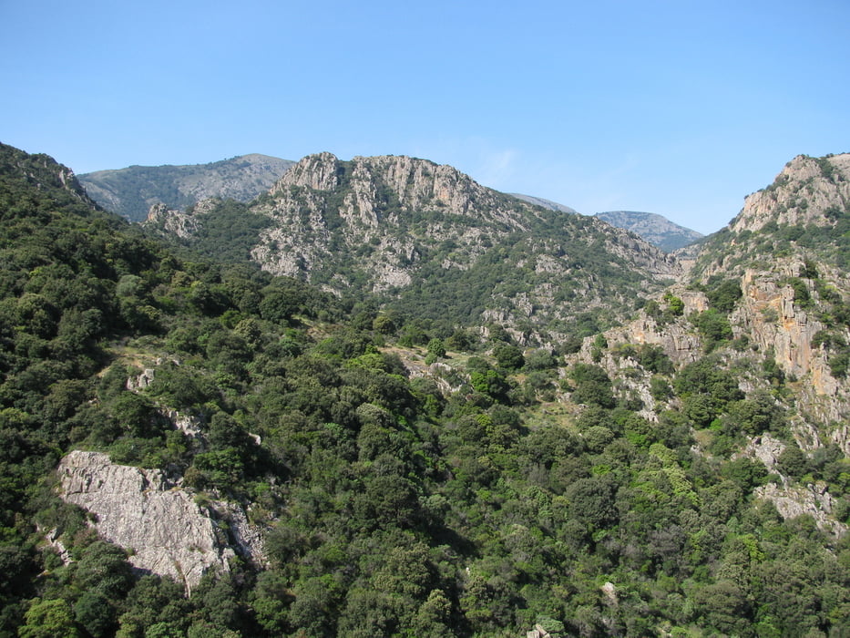
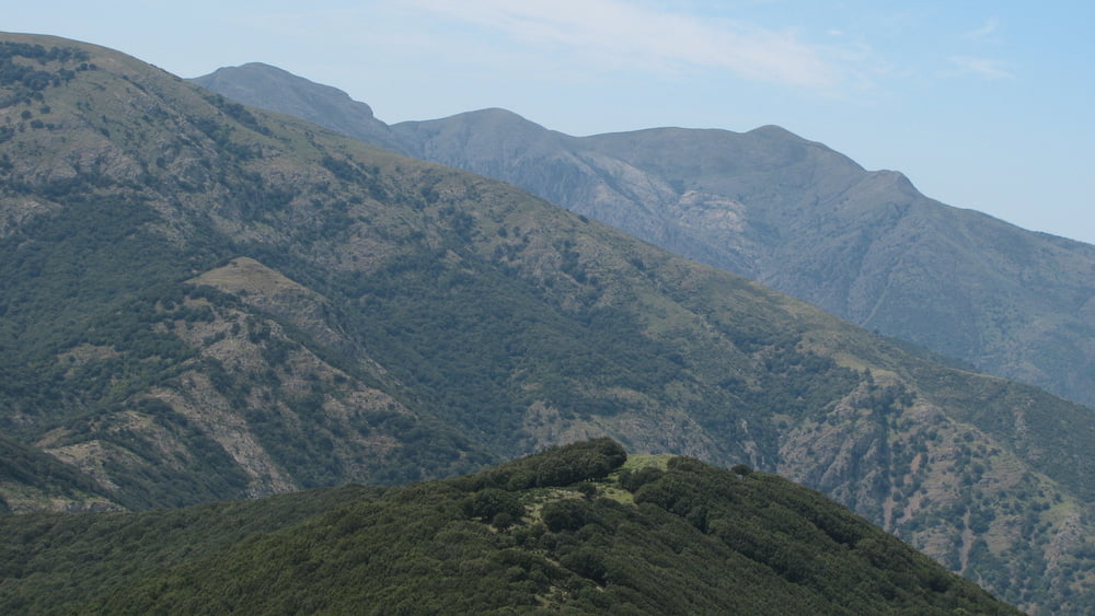
Weather permitting you will have great views over much of the southwestern part of Sardegna. The hike takes you through extraordinarily beautiful landscape. The walk can be quite strenuous, but it is not difficult.

DO NOT FORGET TO BRING ENOUGH WATER!!! And food.
Enjoy the views!

Tour gallery

Tour map and elevation profile

  • Open Street Map
  • Google
Minimum height 354 m Maximum height 862 m Detailed view

More about the tour author

toftemo
Member since 2008

Send private message

Comments

The hike to the cache starts close to Villacidro at the carpark at N39°27,965 E8°43,585.
To get to the carpark drive to the big cross, which is situated between Villacidro towncenter and the waterfall "Sa Spendula". Then follow "Via Pineta" on to some buildings of ESAF.

GPS tracks

Trackpoints
  • GPX / Garmin Map Source (gpx) download
  • TCX / Garmin Training Center® (tcx) download
  • CRS / Garmin Training Center® (crs) download
  • Google Earth (kml) download
  • G7ToWin (g7t) download
  • TTQV (trk) download
  • Overlay (ovl) download
  • Fugawi (txt) download
  • Kompass (DAV) Track (tk) download
  • Track data sheet (pdf) download
  • Original file of the author (gpx) download

More about the tour author

toftemo
Member since 2008

Send private message
Share track
Add to my favorites
Remove from my favorites
Edit tags
My score
Rate
Track: Monte Margiani
Type: Mountain hiking
Distance: 4,3 km
Evaluated on:
Duration:
Day(s)
Hour(s)
Minute(s)
Score: Landscape Fun factor Fitness Technique