


Sehr schöne anspruchsvolle Tour!!!
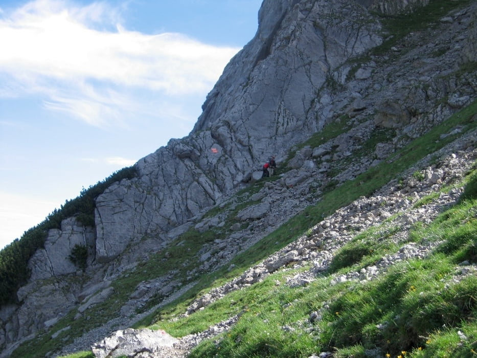
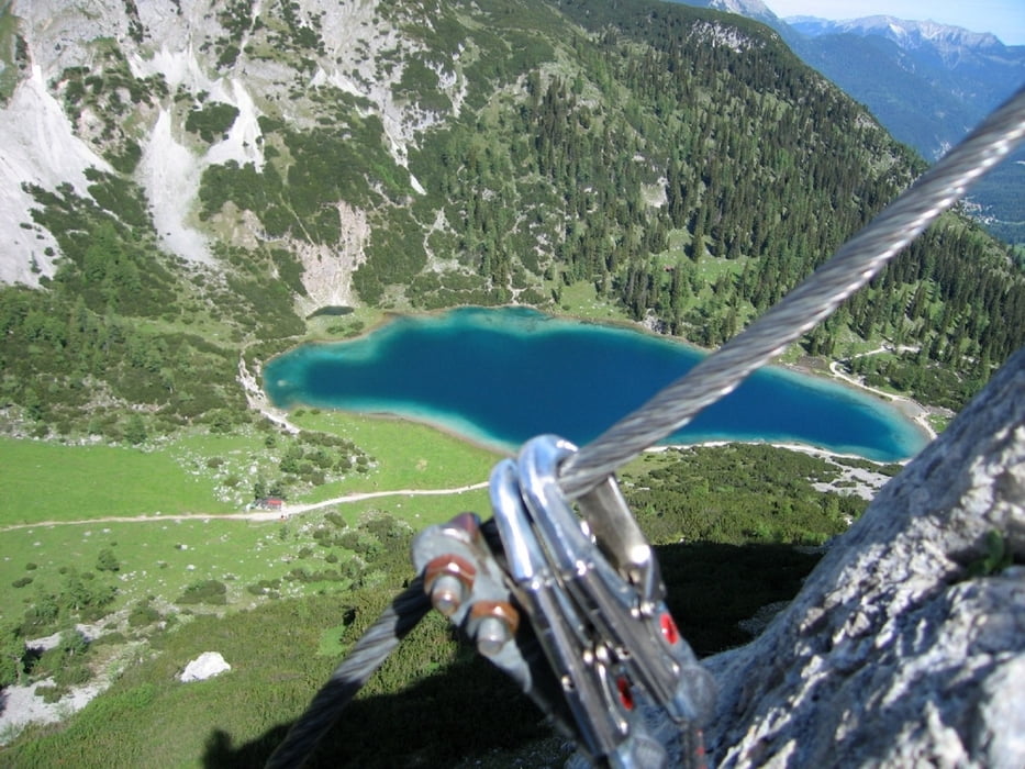
Mit dem Mountainbike von Leutasch kommend bis zum Seebensee. Dort kann man die MTB bei der Materialseilbahn (Corburger Hütte) stehen lassen. Von dort eine kurze Gehpassage zum Einstieg des Tajaklettersteigs. Der Klettersteig ist mit 600 Höhenmetern sehr lang aber nicht schwer.
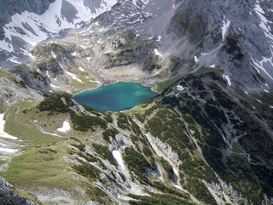
Abstieg vom Tajakopf über normal Weg zur Corburger Hütte (Einkehrmöglichkeit) und von dort wieder zu den MTB. Sehr lange MTB Abfahrt nach Ehrwald, natürlich kann man auch wieder zurück zum Ausgangspunkt fahren.
Tour gallery
Tour map and elevation profile
Minimum height 1106 m
Maximum height 2423 m
More about the tour author

|
paradoxus |
Comments

Vom Inntal kommend auf der A12 die Ausfahrt Telfs Ost nehmen und der Beschilderung zur Gemeinde Leutasch folgen.
GPS tracks
Trackpoints-
GPX / Garmin Map Source (gpx) download
-
TCX / Garmin Training Center® (tcx) download
-
CRS / Garmin Training Center® (crs) download
-
Google Earth (kml) download
-
G7ToWin (g7t) download
-
TTQV (trk) download
-
Overlay (ovl) download
-
Fugawi (txt) download
-
Kompass (DAV) Track (tk) download
-
Track data sheet (pdf) download
-
Original file of the author (gpx) download
More about the tour author
|
|
paradoxus |
Add to my favorites
Remove from my favorites
Edit tags
Open track
My score
Rate