


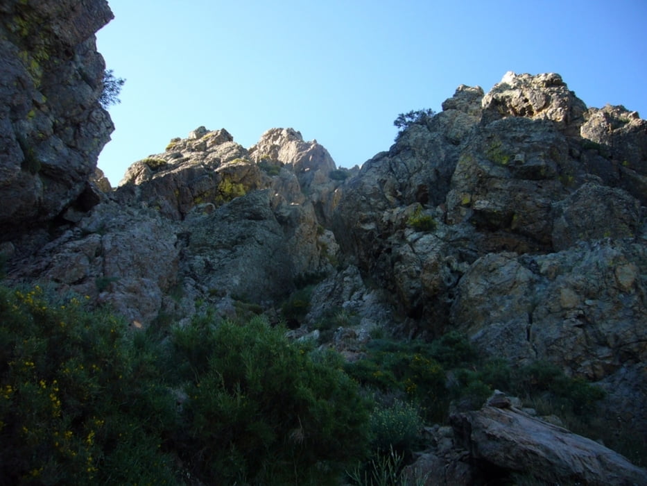
Streckenwanderung mit steilem Gipfelanstieg zum Schluss. Knöchelhohes Schuhwerk, Trittsicherheit und Schwindelfreiheit erforderlich. Schmale Pfade in alpinem Gelände. Am letzten Anstieg muss unter Zuhilfenahme der Hände geklettert werden.
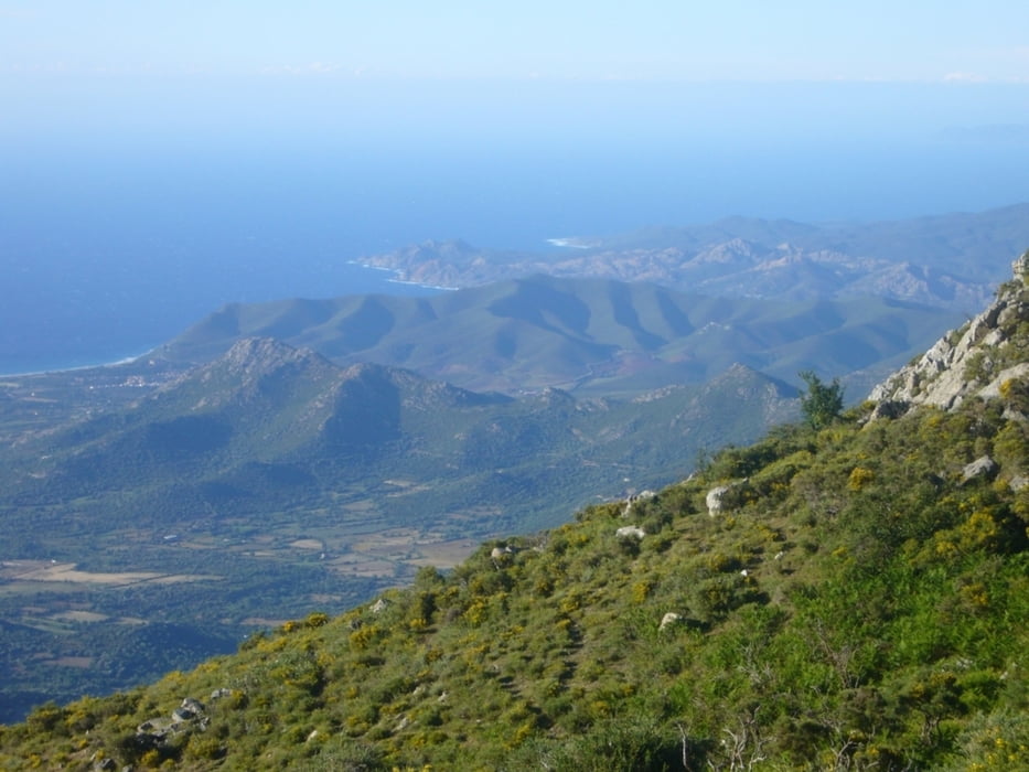
Die Kletterei wird belohnt mit einem herrlichen Ausblick auf die Balagne, Kap Corse, den Golf von Calvi und die Bergwelt im Inneren Korsikas.
Further information at
http://fr.wikipedia.org/wiki/SpeloncatoTour gallery
Tour map and elevation profile
Minimum height 1085 m
Maximum height 1325 m
More about the tour author

|
grenz-pfad-fahrer |
Comments

Von Speloncato aus über die Pass-Straße zum Col de Battaglia. Dort sind ausreichend Parkmöglichkeiten vorhanden.
GPS tracks
Trackpoints-
GPX / Garmin Map Source (gpx) download
-
TCX / Garmin Training Center® (tcx) download
-
CRS / Garmin Training Center® (crs) download
-
Google Earth (kml) download
-
G7ToWin (g7t) download
-
TTQV (trk) download
-
Overlay (ovl) download
-
Fugawi (txt) download
-
Kompass (DAV) Track (tk) download
-
Track data sheet (pdf) download
-
Original file of the author (gpx) download
More about the tour author
|
|
grenz-pfad-fahrer |
Add to my favorites
Remove from my favorites
Edit tags
Open track
My score
Rate