Login

Forgot your login?

Cookies have to be accepted!
Your browser's cookie functionality is disabled. Please enable this functionality.

Not a member yet?

Register now
Login

Available for registred users only

Log in to use this feature.

Forgot your login?

Cookies have to be accepted!
Your browser's cookie functionality is disabled. Please enable this functionality.

Not a member yet?

Register now
Filter
Categories
Advanced filters
  • Distance (km)
  • Height
Save filters Reset filter

TrackRank

QRCode

Technical data

Distance14,1 km Height150 m Way down142 m Duration04:36 h:m Date13.07.2011
Scores Author Landscape Fun factor Fitness Technique

Statistics

383 Views Scores 54 Downloads Average
Rate
  • Track data sheet
  • Directions
  • Downloads

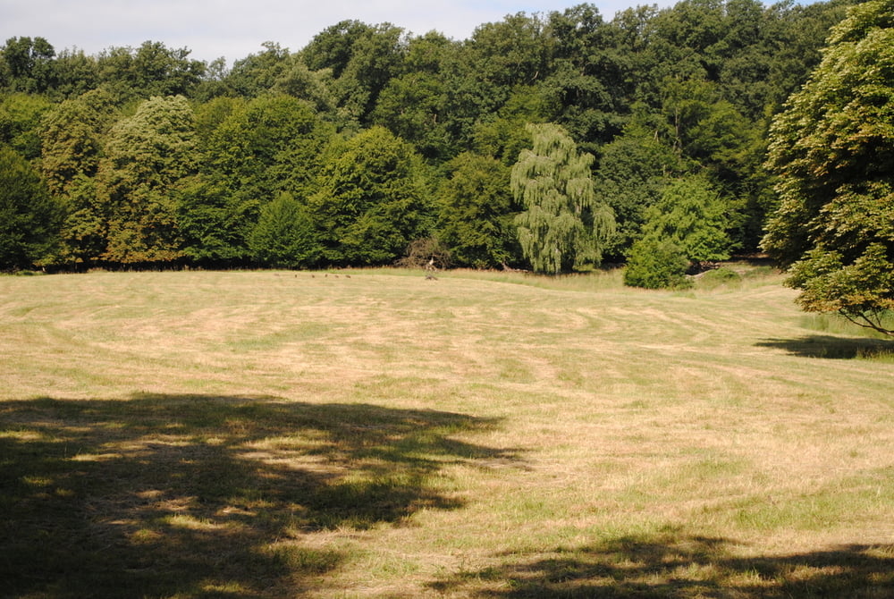
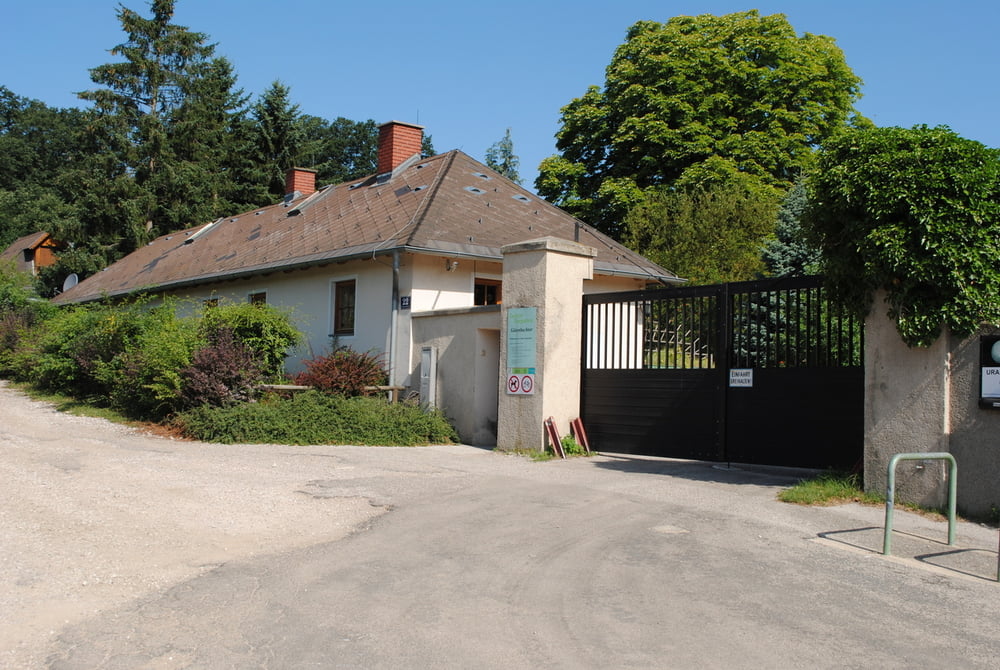
Los gehts vom Lainzer Tor.Auf breiter Forststrasse Richtung Hirschstemm.Nach ca.2 km links ab zum Gütenbachtor.Weiter bis Kalksburg und Rodaun (jetzt alle Wege im Stadtgebiet).Immer entlang der Liesing bis nach Alterlaa,zum Platz unseres Tourstarts im Jänner.

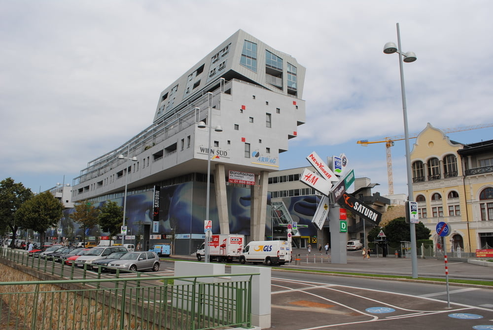
Das wars ,die Runde um Wien ist geschafft.Waren 24 Teilabschnitte mit einer Gesamtlänge von ca.120 km.Dank auch an die Stadt Wien (MA 49) für die Ausrichtung und Dokumentation dieser Strecke.

Further information at

http://www.natuerlichwien.at/rundumadum/dergruenguertel/

Tour gallery

Tour map and elevation profile

  • Open Street Map
  • Google
Minimum height 204 m Maximum height 346 m Detailed view

More about the tour author

LeoCheops
Member since 2008

Send private message

Comments

GPS tracks

Trackpoints
  • GPX / Garmin Map Source (gpx) download
  • TCX / Garmin Training Center® (tcx) download
  • CRS / Garmin Training Center® (crs) download
  • Google Earth (kml) download
  • G7ToWin (g7t) download
  • TTQV (trk) download
  • Overlay (ovl) download
  • Fugawi (txt) download
  • Kompass (DAV) Track (tk) download
  • Track data sheet (pdf) download
  • Original file of the author (gpx) download

More about the tour author

LeoCheops
Member since 2008

Send private message
Share track
Add to my favorites
Remove from my favorites
Edit tags
My score
Rate
Track: Wien Rundumadum Teilstrecke 7_8 (12.07.2011)
Type: Hiking
Distance: 14,1 km
Evaluated on:
Duration:
Day(s)
Hour(s)
Minute(s)
Score: Landscape Fun factor Fitness Technique