

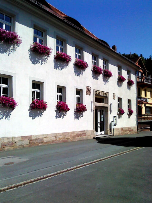

Start und Ziel Rathaus (auch Touristeninformation) Wallenfels. Über Haid, "über´n Geusser", Dörnach, Forstloh und zurück.
Tour gallery


Tour map and elevation profile
Minimum height 357 m
Maximum height 683 m
More about the tour author

|
where_i_am |
Comments

More about the tour author
|
|
where_i_am |
Add to my favorites
Remove from my favorites
Edit tags
Open track


My score
Rate