Login

Forgot your login?

Cookies have to be accepted!
Your browser's cookie functionality is disabled. Please enable this functionality.

Not a member yet?

Register now
Login

Available for registred users only

Log in to use this feature.

Forgot your login?

Cookies have to be accepted!
Your browser's cookie functionality is disabled. Please enable this functionality.

Not a member yet?

Register now
Filter
Categories
Advanced filters
  • Distance (km)
  • Height
Save filters Reset filter

TrackRank

QRCode

Technical data

Distance27,0 km Height0 m Way down0 m Duration02:30 h:m Date14.08.2011
Scores Author Landscape Fun factor Fitness Technique

Statistics

528 Views Scores 48 Downloads Average
Rate
  • Track data sheet
  • Directions
  • Downloads

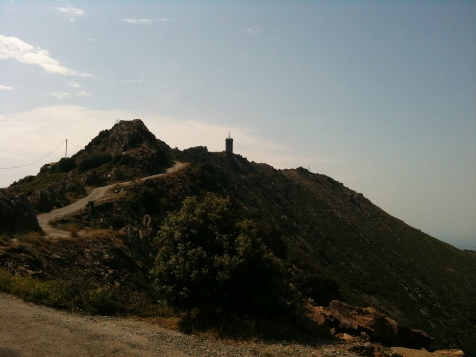
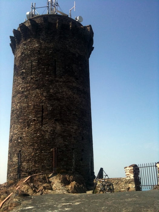
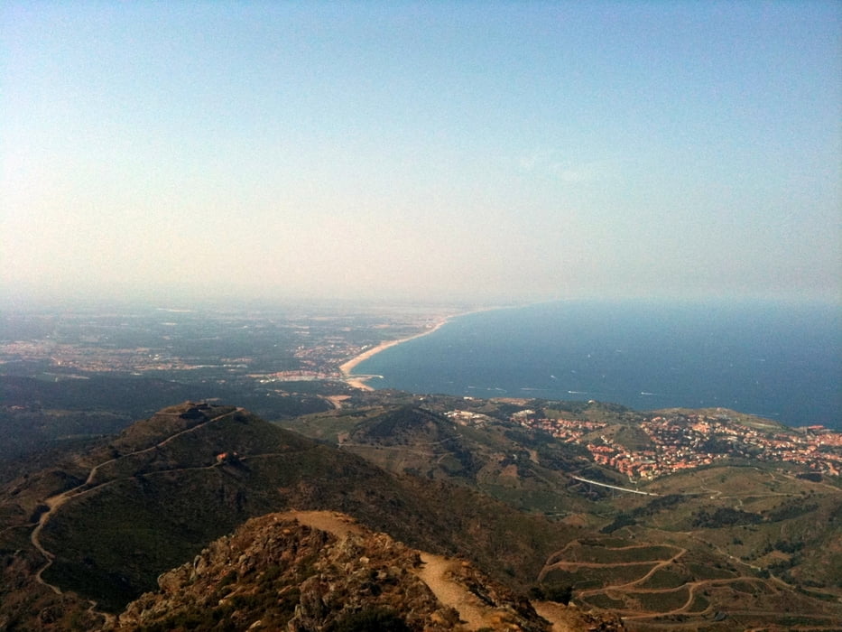
This tour takes you up to the Tour de Madeloc, where from you have a stunning view towards both the mountains and the coast. As soon as you left behind the crowded main road from Argeles you climb up a quiet paved road (D86), which in the first part is shady in the second part is unbelievably hot, when the sun is shining. Bring enough water, as there is no fountain or shop! You'll end up at the last uphil towards the tower, which is forbidden for cars, motorbikes,... The climb is incredibly steep and I confess: it was just my ego which prevented me from walking the rest instead of doing it on the bike. But the view from the top compensates for every drop of sweat you lost.

I went the same way back to Argeles, but you could also follow the D86 down to Banyuls sur mer. I saw also an unpaved road/singletrail starting at the summit, but I didn't do it. If anyone does, please post your experiences here!
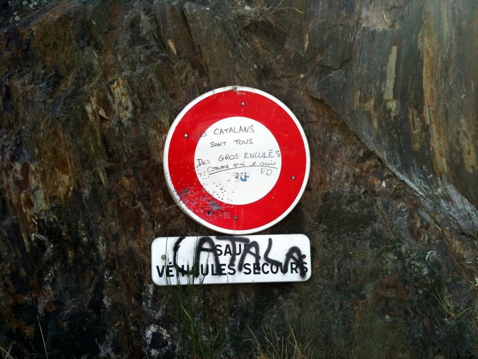
Tour gallery

Tour map and elevation profile

  • Open Street Map
  • Google
Minimum height 99999 m Maximum height -99999 m Detailed view

More about the tour author

DonSegafredo
Member since 2011

Send private message

Comments

Start at the southern beach of Argeles; there is a parking lot too (2.60 Euro/day at the time of writing)

GPS tracks

Trackpoints
  • GPX / Garmin Map Source (gpx) download
  • TCX / Garmin Training Center® (tcx) download
  • CRS / Garmin Training Center® (crs) download
  • Google Earth (kml) download
  • G7ToWin (g7t) download
  • TTQV (trk) download
  • Overlay (ovl) download
  • Fugawi (txt) download
  • Kompass (DAV) Track (tk) download
  • Track data sheet (pdf) download
  • Original file of the author (gpx) download

More about the tour author

DonSegafredo
Member since 2011

Send private message
Share track
Add to my favorites
Remove from my favorites
Edit tags
My score
Rate
Track: Up to the "Tour de Madeloc"
Type: Road biking
Distance: 27,0 km
Evaluated on:
Duration:
Day(s)
Hour(s)
Minute(s)
Score: Landscape Fun factor Fitness Technique