Login

Forgotten password?

Cookies have to be accepted!
Your browser's cookie functionality is disabled. Please enable this functionality.

Not a member yet?

Register now
Login

Available for registred users only

Log in to use this feature.

Forgotten password?

Cookies have to be accepted!
Your browser's cookie functionality is disabled. Please enable this functionality.

Not a member yet?

Register now
Filter
Categories
Advanced filters
  • Distance (km)
  • Height
Save filters Reset filter

TrackRank

QRCode

Technical data

Distance14,7 km Height588 m Way down591 m Duration05:50 h:m Date15.08.2011
Scores Author Landscape Fun factor Fitness Technique

Statistics

466 Views Scores 28 Downloads Average
Rate
  • Track data sheet
  • Directions
  • Downloads
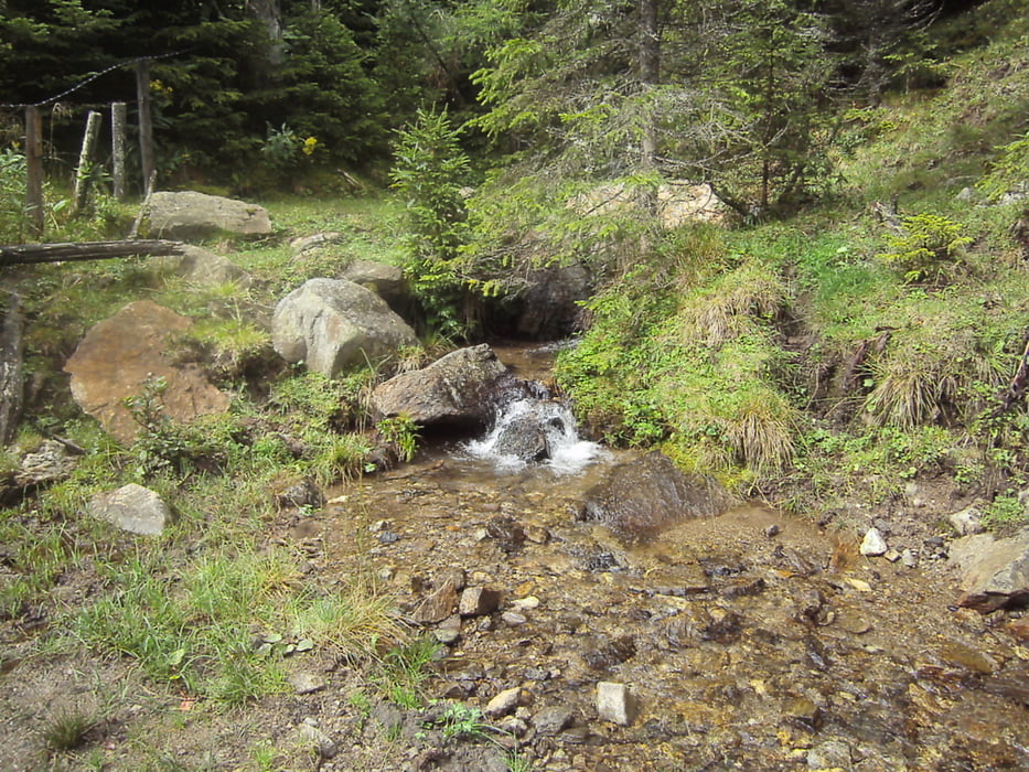
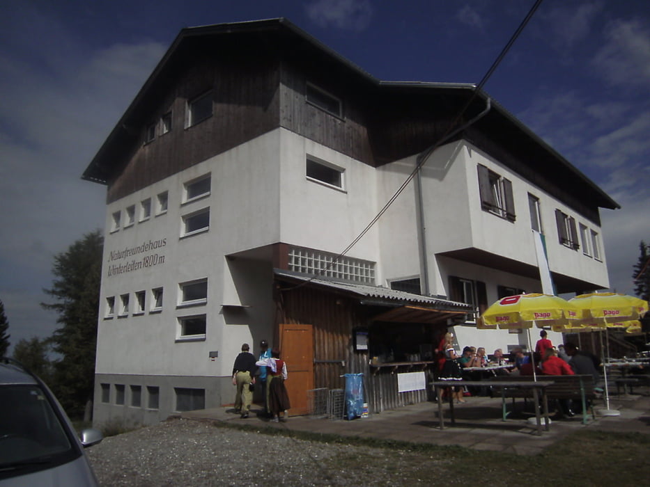
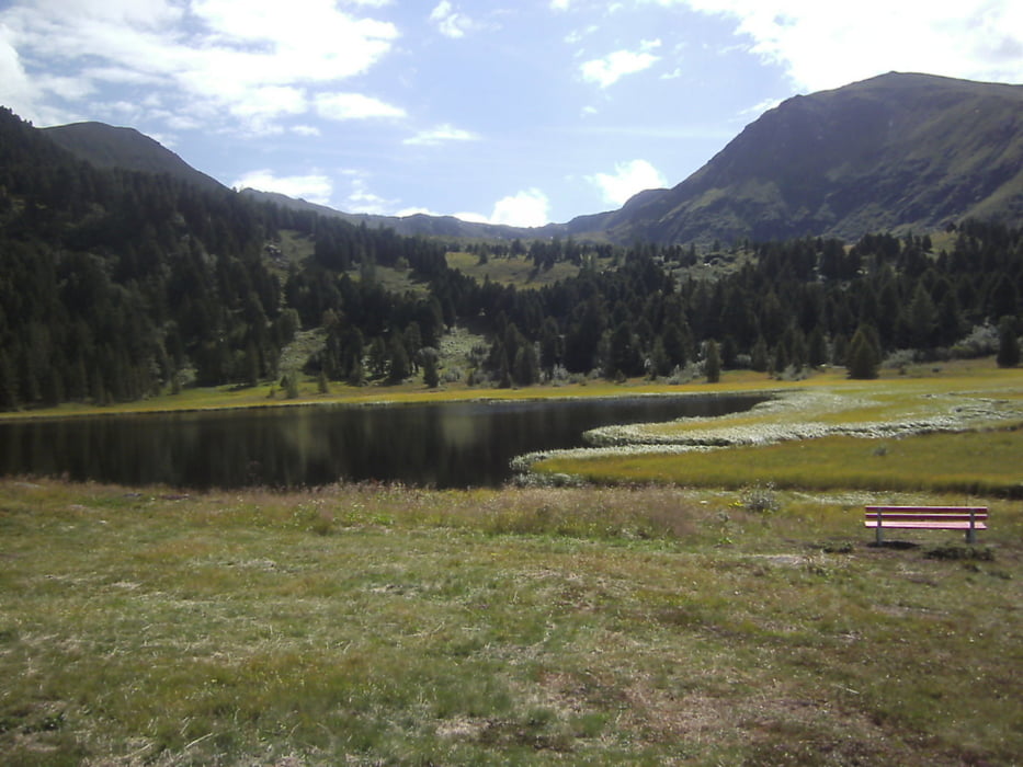
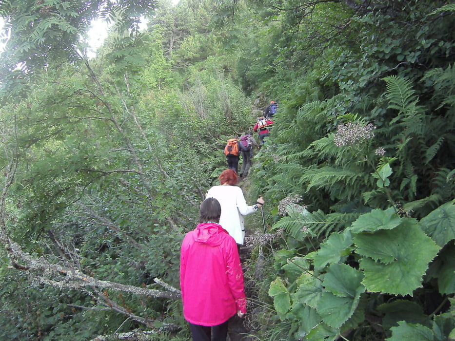
Ausgangspunkt ist die Sabathyhütte, zuerst den Wanderweg hangabwärts entlang der Rieserlifte, weiter zur Rieseralm. Danach ca. 1 km leicht ansteigend bis zur einer Bachquerung,  auf der anderen Seite des Gradnitzbaches zur Judenburgerhütte. von dort ca. 500 wieder retour um später  den rechts abzeigenden markierten Wanderweg Richtung Schmelz zu folgen. In weiter Folge ständig ansteigend zur Winterleitenhütte. Über den sogennanten "HotschiMin" Pfad wieder retou zur Sabathyhütte

Further information at

http://www.zirbitzkogel.at/

Tour gallery

Tour map and elevation profile

  • Open Street Map
  • Google
Minimum height 1386 m Maximum height 1834 m Detailed view

More about the tour author

max64
Member since 2010

Send private message

Comments

Direkt in der Marktgemeinde Obdach (Bezirk Judenburg) bei der Raiffeisenbank Richtung St. Wolfgang abbiegen. Kurz vor dem Erreichen von St. Wolfgang führt eine Abzweigung nach links zum Alpengasthof Sabathyhütte,

GPS tracks

Trackpoints
  • GPX / Garmin Map Source (gpx) download
  • TCX / Garmin Training Center® (tcx) download
  • CRS / Garmin Training Center® (crs) download
  • Google Earth (kml) download
  • G7ToWin (g7t) download
  • TTQV (trk) download
  • Overlay (ovl) download
  • Fugawi (txt) download
  • Kompass (DAV) Track (tk) download
  • Track data sheet (pdf) download
  • Original file of the author (gpx) download

More about the tour author

max64
Member since 2010

Send private message
Share track
Add to my favorites
Remove from my favorites
Edit tags
My score
Rate
Track: Zirbenland-Wanderung
Type: Hiking
Distance: 14,7 km
Evaluated on:
Duration:
Day(s)
Hour(s)
Minute(s)
Score: Landscape Fun factor Fitness Technique