Login

Forgot your login?

Cookies have to be accepted!
Your browser's cookie functionality is disabled. Please enable this functionality.

Not a member yet?

Register now
Login

Available for registred users only

Log in to use this feature.

Forgot your login?

Cookies have to be accepted!
Your browser's cookie functionality is disabled. Please enable this functionality.

Not a member yet?

Register now
Filter
Categories
Advanced filters
  • Distance (km)
  • Height
Save filters Reset filter

TrackRank

QRCode

Technical data

Distance1.155,1 km Height19687 m Way down19650 m Duration1 day 1 h Date04.09.2011
Scores Author Landscape Fun factor Fitness Technique

Statistics

491 Views Scores 44 Downloads Average
Rate
  • Track data sheet
  • Directions
  • Downloads

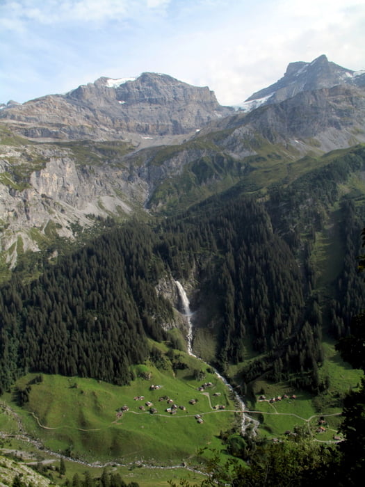
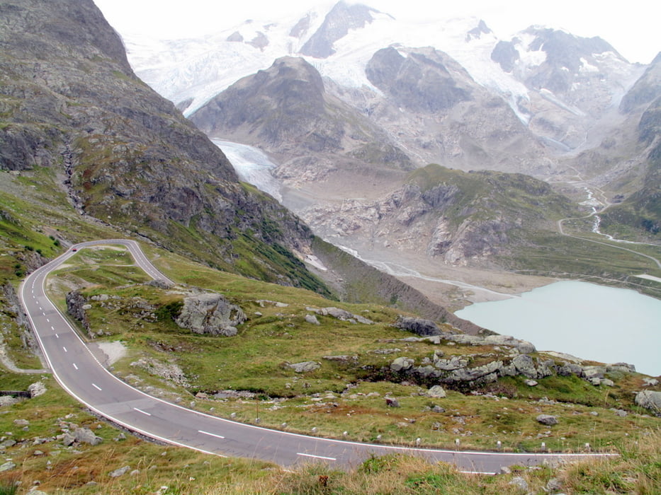
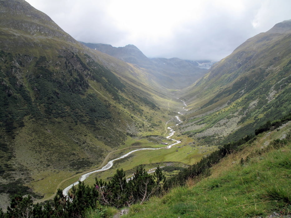
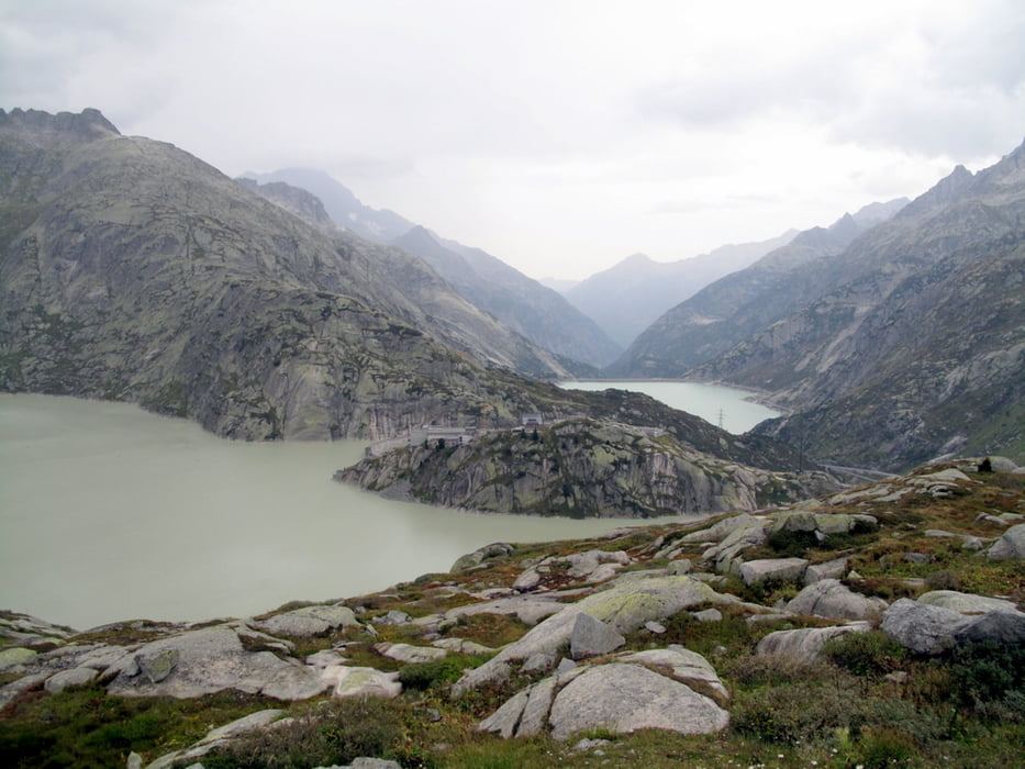
Zwischen Klausenpass über Gotthard nach Andermatt reinstes Pässeheizen, ab Gotthard reiht sich ein Pass nach dem anderen, nach Andermatt über Chur nach Altdorf kurvige, gut ausgebaute Landstrassen.

Abstecher von Chur Richtung Davos nach Graubünden empfehlenswert
 

Tour gallery

Tour map and elevation profile

  • Open Street Map
  • Google
Minimum height 347 m Maximum height 2342 m Detailed view

More about the tour author

soulridr
Member since 2011

Send private message

Comments

Tag 1:

Abfahrt in Zürich Richtung Klausenpass.

1930 Übernachtung beim Grimselstausee (20km vor Andermatt)

Tag 2:

0900 Abfahrt mit Regen

1600 Ankunft Zürich nach 100km Sauwetter-Autobahn

ohne Anfahrt aus/nach Zürich ca.500km, inkl.ca700km
 

GPS tracks

Trackpoints
  • GPX / Garmin Map Source (gpx) download
  • TCX / Garmin Training Center® (tcx) download
  • CRS / Garmin Training Center® (crs) download
  • Google Earth (kml) download
  • G7ToWin (g7t) download
  • TTQV (trk) download
  • Overlay (ovl) download
  • Fugawi (txt) download
  • Kompass (DAV) Track (tk) download
  • Track data sheet (pdf) download
  • Original file of the author (gpx) download

More about the tour author

soulridr
Member since 2011

Send private message
Share track
Add to my favorites
Remove from my favorites
Edit tags
My score
Rate
Track: Zentralschweiz
Type: Motorcycles
Distance: 1.155,1 km
Evaluated on:
Duration:
Day(s)
Hour(s)
Minute(s)
Score: Landscape Fun factor Fitness Technique