Login

Forgot your login?

Cookies have to be accepted!
Your browser's cookie functionality is disabled. Please enable this functionality.

Not a member yet?

Register now
Login

Available for registred users only

Log in to use this feature.

Forgot your login?

Cookies have to be accepted!
Your browser's cookie functionality is disabled. Please enable this functionality.

Not a member yet?

Register now
Filter
Categories
Advanced filters
  • Distance (km)
  • Height
Save filters Reset filter

TrackRank

QRCode

Technical data

Distance11,4 km Height504 m Way down393 m Duration05:36 h:m Date07.09.2011
Scores Author User Landscape Fun factor Fitness Technique

Statistics

625 Views 3 Scores 52 Downloads 4.00 Average
Rate
  • Track data sheet
  • Directions
  • Downloads
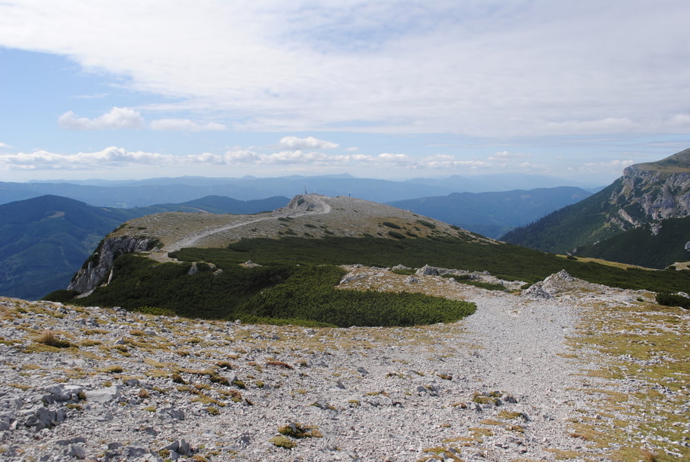
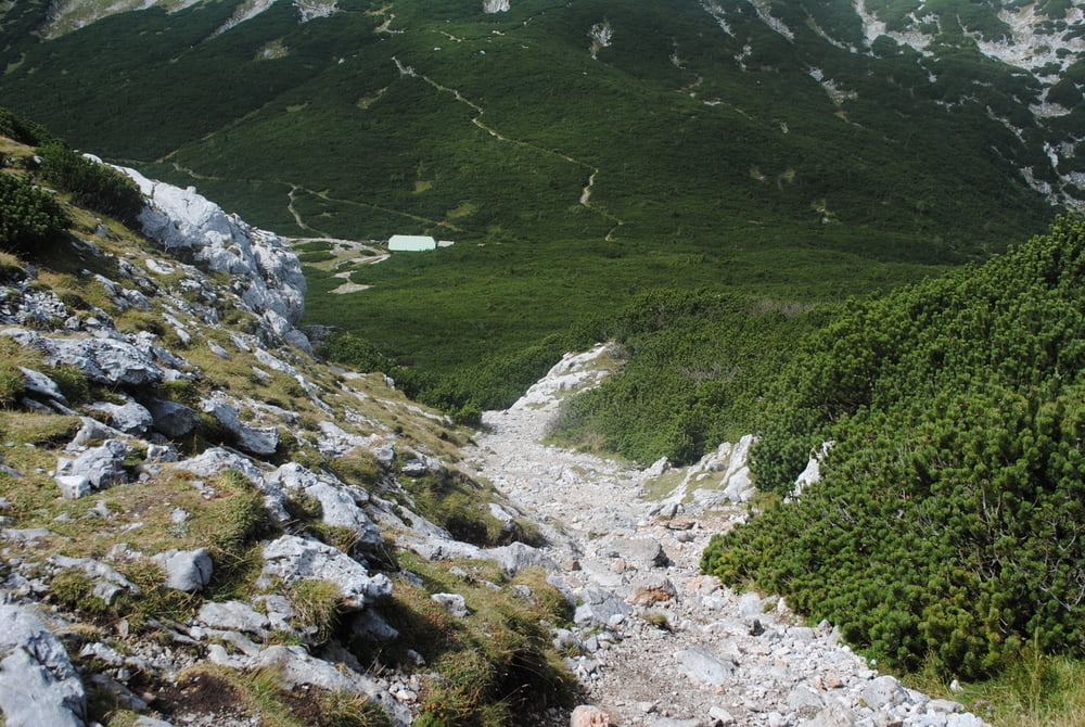
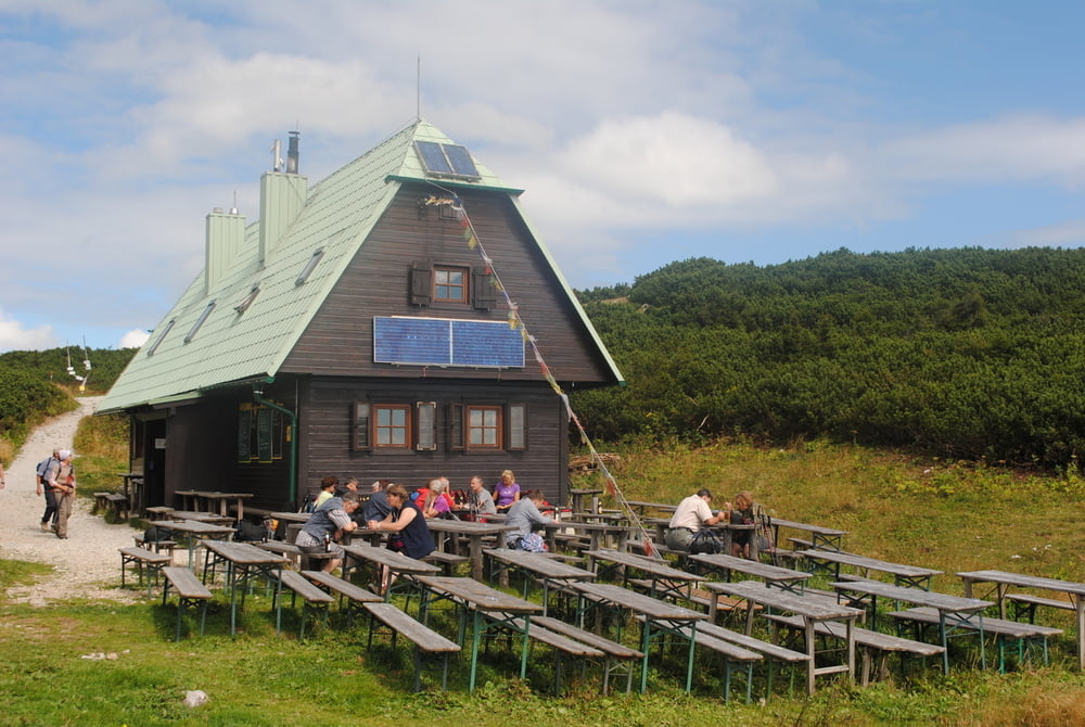
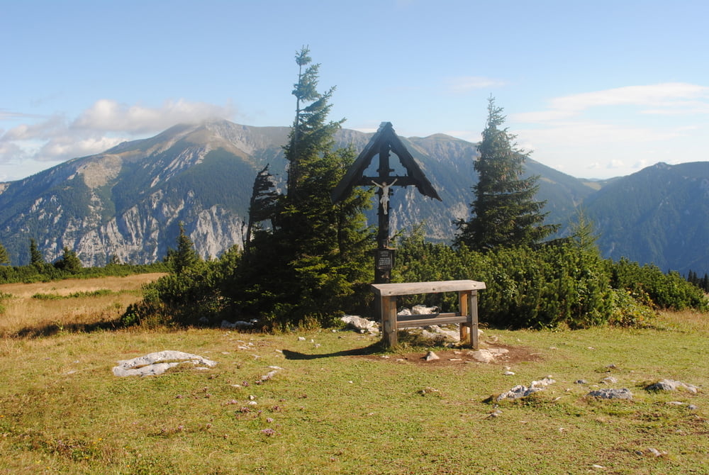
Erweiterung der Wanderung vom 11.08.2011.Wanderung zum Ottohaus wie beschrieben.Dann blau markiert über den Kammweg bis zum Preinerkreuz.und weiter Abstieg zur Neuen Seehütte.Gute Hausmannskost.Zurück über den Seeweg bis zum Ottohaus und weiter zur Bergstation.Gesamtgehzeit enthällt reichlich Pausen für Mittagessen und Jause!!

Further information at

http://www.oetk.at/index.htm?/huetten/26.htm

Tour gallery

Tour map and elevation profile

  • Open Street Map
  • Google
Minimum height 1433 m Maximum height 1793 m Detailed view

More about the tour author

LeoCheops
Member since 2008

Send private message

Comments

GPS tracks

Trackpoints
  • GPX / Garmin Map Source (gpx) download
  • TCX / Garmin Training Center® (tcx) download
  • CRS / Garmin Training Center® (crs) download
  • Google Earth (kml) download
  • G7ToWin (g7t) download
  • TTQV (trk) download
  • Overlay (ovl) download
  • Fugawi (txt) download
  • Kompass (DAV) Track (tk) download
  • Track data sheet (pdf) download
  • Original file of the author (gpx) download

More about the tour author

LeoCheops
Member since 2008

Send private message
Share track
Add to my favorites
Remove from my favorites
Edit tags
My score
Rate
Track: Raxrunde zur Seehütte (06.09.2011)
Type: Mountain hiking
Distance: 11,4 km
Evaluated on:
Duration:
Day(s)
Hour(s)
Minute(s)
Score: Landscape Fun factor Fitness Technique