Login

Forgotten password?

Cookies have to be accepted!
Your browser's cookie functionality is disabled. Please enable this functionality.

Not a member yet?

Register now
Login

Available for registred users only

Log in to use this feature.

Forgotten password?

Cookies have to be accepted!
Your browser's cookie functionality is disabled. Please enable this functionality.

Not a member yet?

Register now
Filter
Categories
Advanced filters
  • Distance (km)
  • Height
Save filters Reset filter

TrackRank

QRCode

Technical data

Distance14,7 km Height403 m Way down409 m Duration03:00 h:m Date13.11.2011
Scores Author Landscape Fun factor Fitness Technique

Statistics

1839 Views Scores 129 Downloads Average
Rate
  • Track data sheet
  • Directions
  • Downloads

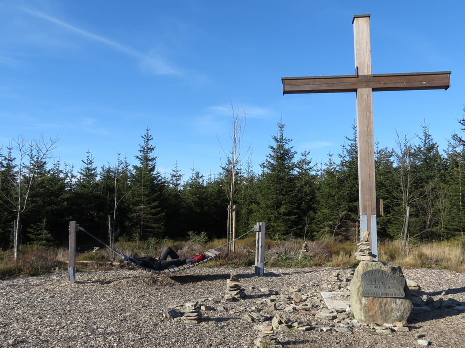
Wanderung vom Seilbahnparkplatz in Willingen auf den höchsten Berg von Nordrhein-Westfalen, weiter über die Hochheide zum Aussichtspunkt auf dem Clemensberg, vorbei an der Hoppekequelle über die Große Grube zum Wald-Hotel und wieder zurück zum Parkplatz.

Schöne Tour an einem klaren Herbsttag.

Tour map and elevation profile

  • Open Street Map
  • Google
Minimum height 571 m Maximum height 852 m Detailed view

More about the tour author

biauwe
Member since 2008

Send private message

Comments

GPS tracks

Trackpoints
  • GPX / Garmin Map Source (gpx) download
  • TCX / Garmin Training Center® (tcx) download
  • CRS / Garmin Training Center® (crs) download
  • Google Earth (kml) download
  • G7ToWin (g7t) download
  • TTQV (trk) download
  • Overlay (ovl) download
  • Fugawi (txt) download
  • Kompass (DAV) Track (tk) download
  • Track data sheet (pdf) download
  • Original file of the author (gpx) download

More about the tour author

biauwe
Member since 2008

Send private message
Share track
Add to my favorites
Remove from my favorites
Edit tags
My score
Rate
Track: Der Langenberg, höchster Berg NRWs
Type: Hiking
Distance: 14,7 km
Evaluated on:
Duration:
Day(s)
Hour(s)
Minute(s)
Score: Landscape Fun factor Fitness Technique