


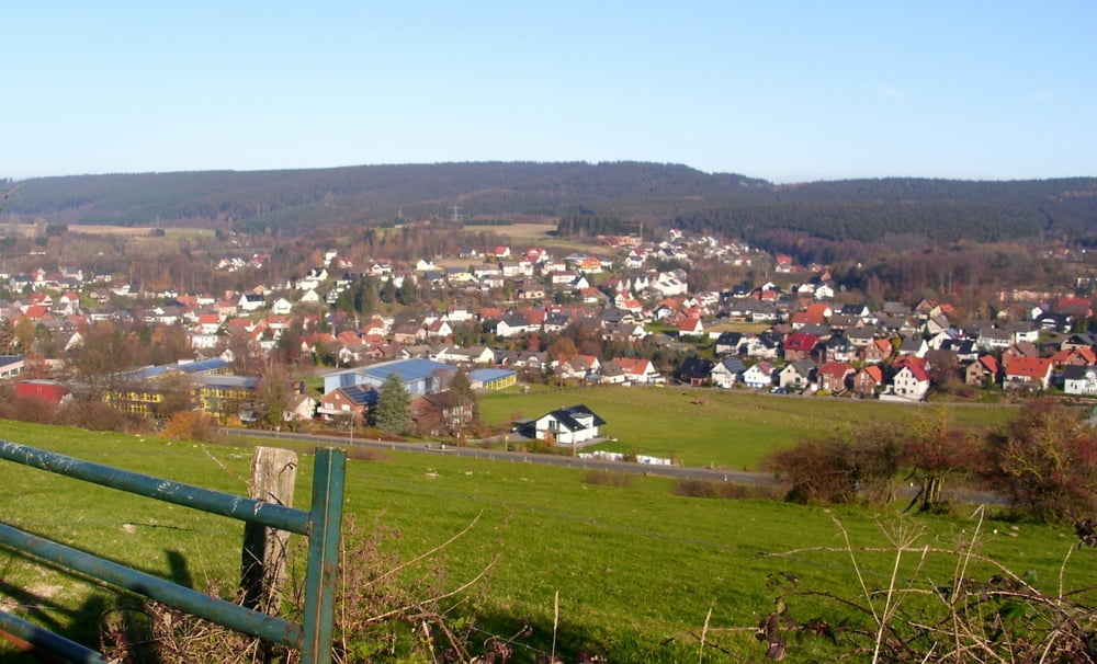
Für uns eine der schönste Wanderungen in der letzten Zeit. Wetter gut, ein toller Höhenweg und bestens ausgeschildert. Viadukt Wanderweg bzw. V3
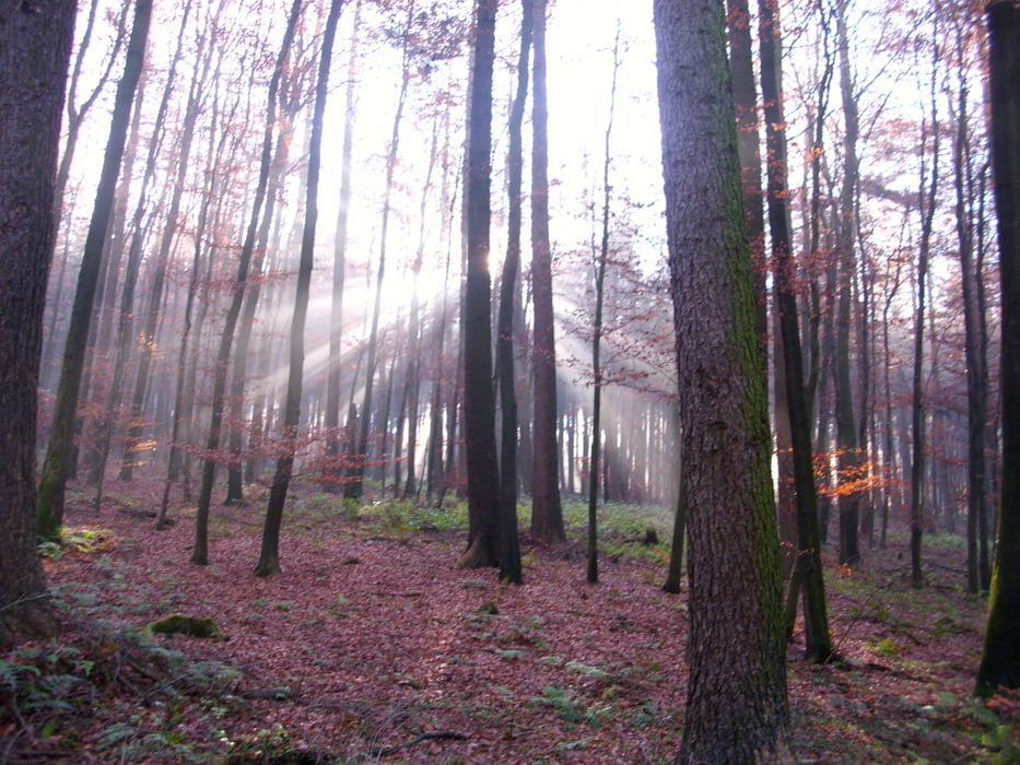
Start dieser Rundwanderung war für uns in der Nähe der Aussichtsplattform über den Viadukt. So haben wir die ersten Höhenmeter gespart. Traumhafte Ausblicke über Altenbeken, steile Abstiege und wunderbare Wald - und Wiesenwege machten diese Wanderung zu einem Erlebnis.
Further information at
http://www.viadukt-wanderweg.de/vwwpdfs/vww_uebersichtskarte.pdfTour gallery

Tour map and elevation profile
Minimum height 219 m
Maximum height 363 m
More about the tour author
|
|
radrolle48 |
Comments
GPS tracks
Trackpoints-
GPX / Garmin Map Source (gpx) download
-
TCX / Garmin Training Center® (tcx) download
-
CRS / Garmin Training Center® (crs) download
-
Google Earth (kml) download
-
G7ToWin (g7t) download
-
TTQV (trk) download
-
Overlay (ovl) download
-
Fugawi (txt) download
-
Kompass (DAV) Track (tk) download
-
Track data sheet (pdf) download
-
Original file of the author (gpx) download
More about the tour author
|
|
radrolle48 |
Add to my favorites
Remove from my favorites
Edit tags
Open track
My score
Rate
Wanderung
Herliche Ausblicke auf Altenbeken und sas Viadukt.