Login

Forgotten password?

Cookies have to be accepted!
Your browser's cookie functionality is disabled. Please enable this functionality.

Not a member yet?

Register now
Login

Available for registred users only

Log in to use this feature.

Forgotten password?

Cookies have to be accepted!
Your browser's cookie functionality is disabled. Please enable this functionality.

Not a member yet?

Register now
Filter
Categories
Advanced filters
  • Distance (km)
  • Height
Save filters Reset filter

TrackRank

QRCode

Technical data

Distance3,9 km Height23 m Way down8 m Duration01:10 h:m Date17.01.2012
Scores Author User Landscape Fun factor Fitness Technique

Statistics

331 Views 1 Score 12 Downloads 5.00 Average
Rate
  • Track data sheet
  • Directions
  • Downloads

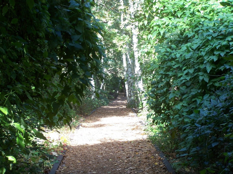
Diese kleine Runde im Schöneberger Südgelände ist ideal um einmal etwas Anderes zu sehen.

Eigentlich ist jeder Park in Berlin und Umgebung geplant. Vermeintliche "wilde" Ecken wurden bewusst gestaltet.

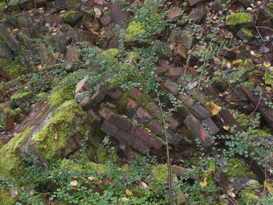
Nicht so im Schöneberger Südgelände. Dieser Park entstand durch das Stilllegen eines Bahngeländes und die Nichtnutzung des Geländes. Aber das ist  nun alles vergangene Weltpolitik.

Im Schatten dieser Ereignisse bildete sich in Berlin ein wildes Biotop das dann zu einem Park umgewidmet und etwas gestaltet wurde.

Das Ergebnis kann sich sehen lassen. Dafür kann auch mal ein Euro locker gemacht werden.

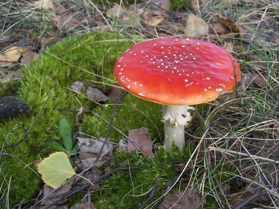
Das Schöneberger Südgelände ist zu jeder Jahreszeit schön.


Further information at

http://www.gruen-berlin.de/parks-gaerten/natur-park-suedgelaende/uebersicht/

Tour gallery

Tour map and elevation profile

  • Open Street Map
  • Google
Minimum height 46 m Maximum height 64 m Detailed view

More about the tour author

Pheinz
Member since 2009

Send private message

Comments

GPS tracks

Trackpoints
  • GPX / Garmin Map Source (gpx) download
  • TCX / Garmin Training Center® (tcx) download
  • CRS / Garmin Training Center® (crs) download
  • Google Earth (kml) download
  • G7ToWin (g7t) download
  • TTQV (trk) download
  • Overlay (ovl) download
  • Fugawi (txt) download
  • Kompass (DAV) Track (tk) download
  • Track data sheet (pdf) download
  • Original file of the author (gpx) download

More about the tour author

Pheinz
Member since 2009

Send private message
Share track
Add to my favorites
Remove from my favorites
Edit tags
My score
Rate
Track: Schöneberger Südgelände
Type: Sightseeing
Distance: 3,9 km
Evaluated on:
Duration:
Day(s)
Hour(s)
Minute(s)
Score: Landscape Fun factor Fitness Technique