


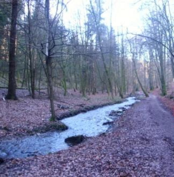
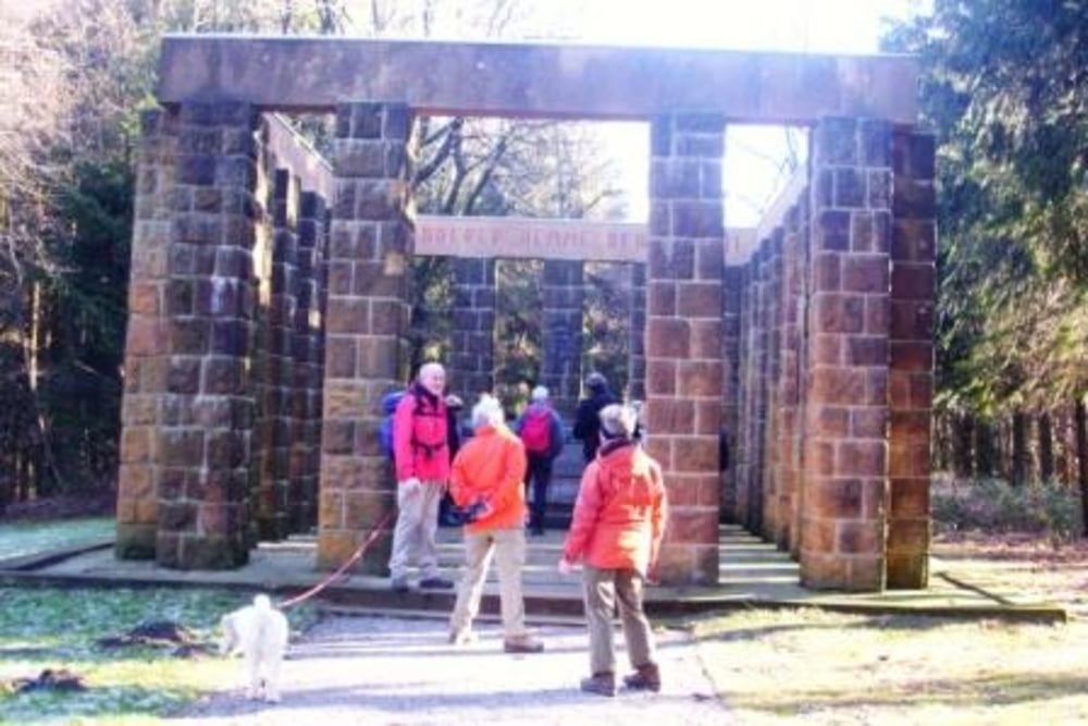
Start dieser Tour war der Parkplatz in Bielefeld am Senner Hellweg. Vorbei am Haus Neuland wanderten wir, die sportlichen Wanderer des Netzwerkes 55plus aus Gütersloh, auf schmalen Wegen in Richtung Oerlinghausen. Am Menkhauser Bach im Schopketal begrüßte uns ein Eichelhäher. Weiter, vorbei am Sportplatz , Freilichtmuseum und um den Barkhauser Berg, auf Pättkes bis zum Fuße des Tönsberges. Nach 50 Hm zum Kammweg, hatten wir wunderschöne Aussichten bis nach Lage und Gütersloh. Der Hermannsweg führte uns nun direkt am Ehrenmahl und Kumsttonne vorbei, in die Bergstadt Oerlinghausen. Durch einen Hohlweg und am Rande des Schopketales vorbei, erreichst Du bald die breite Schneise des Markengrundes. Unter der Hochspannung und durch die Kolonien der Wochendhäuser bist Du schnell am Ausgangspunkt zurück.
Fazit: 18 km auf schönen Wegen mit tollen Aussichten.
Tour gallery
Tour map and elevation profile
Minimum height 109 m
Maximum height 337 m
More about the tour author
|
|
radrolle48 |
Comments

GPS tracks
Trackpoints-
GPX / Garmin Map Source (gpx) download
-
TCX / Garmin Training Center® (tcx) download
-
CRS / Garmin Training Center® (crs) download
-
Google Earth (kml) download
-
G7ToWin (g7t) download
-
TTQV (trk) download
-
Overlay (ovl) download
-
Fugawi (txt) download
-
Kompass (DAV) Track (tk) download
-
Track data sheet (pdf) download
-
Original file of the author (gpx) download
More about the tour author
|
|
radrolle48 |
Add to my favorites
Remove from my favorites
Edit tags
Open track
My score
Rate