Login

Forgot your login?

Cookies have to be accepted!
Your browser's cookie functionality is disabled. Please enable this functionality.

Not a member yet?

Register now
Login

Available for registred users only

Log in to use this feature.

Forgot your login?

Cookies have to be accepted!
Your browser's cookie functionality is disabled. Please enable this functionality.

Not a member yet?

Register now
Filter
Categories
Advanced filters
  • Distance (km)
  • Height
Save filters Reset filter

TrackRank

QRCode

Technical data

Distance9,2 km Height396 m Way down258 m Duration03:37 h:m Date15.03.2012
Scores Author Landscape Fun factor Fitness Technique

Statistics

381 Views Scores 24 Downloads Average
Rate
  • Track data sheet
  • Directions
  • Downloads
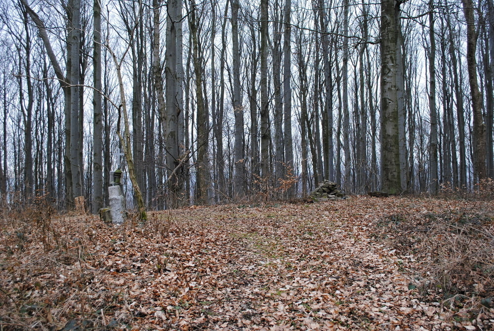
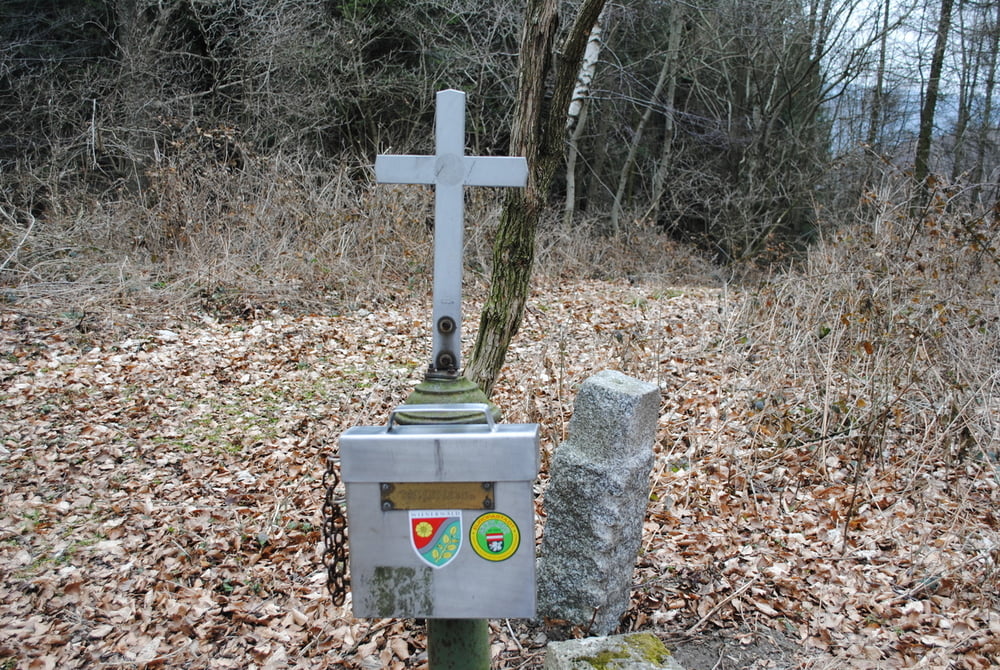
Start Strasse KlausenLepoldsdorf-Gruberau  beim nächsten Wegkreuz nach den Parzerkreuz,klingt kompliziert ist aber leicht zu finden.Rot markiert auf Forststrasse (Achtung neue Abzweigung)an Gehöften vorbei.Nach ca.2km verlassen wir die rote Markierung und benützen bei einer Kreuzung die aufstrebende linke Forststrasse.Nach ca.1km links steile Schneise.Diese nehmen wir und gelangen direkt zum Gipfelkreuz des Roßgipfels..Gleiche Route zurück.

Tour gallery

Tour map and elevation profile

  • Open Street Map
  • Google
Minimum height 300 m Maximum height 642 m Detailed view

More about the tour author

LeoCheops
Member since 2008

Send private message

Comments

GPS tracks

Trackpoints
  • GPX / Garmin Map Source (gpx) download
  • TCX / Garmin Training Center® (tcx) download
  • CRS / Garmin Training Center® (crs) download
  • Google Earth (kml) download
  • G7ToWin (g7t) download
  • TTQV (trk) download
  • Overlay (ovl) download
  • Fugawi (txt) download
  • Kompass (DAV) Track (tk) download
  • Track data sheet (pdf) download
  • Original file of the author (gpx) download

More about the tour author

LeoCheops
Member since 2008

Send private message
Share track
Add to my favorites
Remove from my favorites
Edit tags
My score
Rate
Track: Auf den Roßgipfel von der Gruberau (14.03.2012)
Type: Mountain hiking
Distance: 9,2 km
Evaluated on:
Duration:
Day(s)
Hour(s)
Minute(s)
Score: Landscape Fun factor Fitness Technique