Login

Forgot your login?

Cookies have to be accepted!
Your browser's cookie functionality is disabled. Please enable this functionality.

Not a member yet?

Register now
Login

Available for registred users only

Log in to use this feature.

Forgot your login?

Cookies have to be accepted!
Your browser's cookie functionality is disabled. Please enable this functionality.

Not a member yet?

Register now
Filter
Categories
Advanced filters
  • Distance (km)
  • Height
Save filters Reset filter

TrackRank

QRCode

Technical data

Distance66,9 km Height842 m Way down838 m Duration04:00 h:m Date16.03.2012
Scores Author User Landscape Fun factor Fitness Technique

Statistics

530 Views 1 Score 78 Downloads 3.00 Average
Rate
  • Track data sheet
  • Directions
  • Downloads

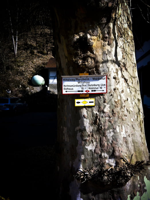
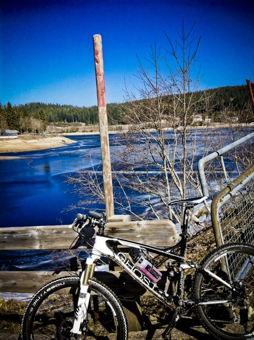
This tour starts at the roundabout in Gurtweil und follows the famous Mittelweg (http://de.wikipedia.org/wiki/Mittelweg_(Fernwanderstrecke)) and Schwarzatalweges up to the Schluchsee. After that you will drive around the lake Schluchsee and then via the Mettmatal backk to Gurtweil.

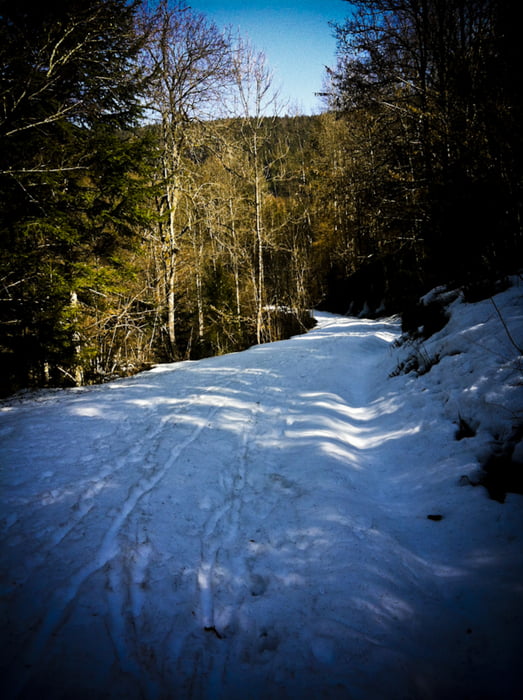
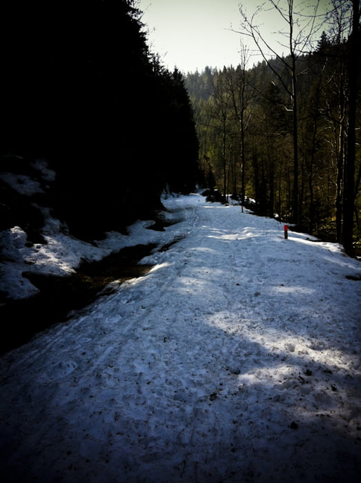
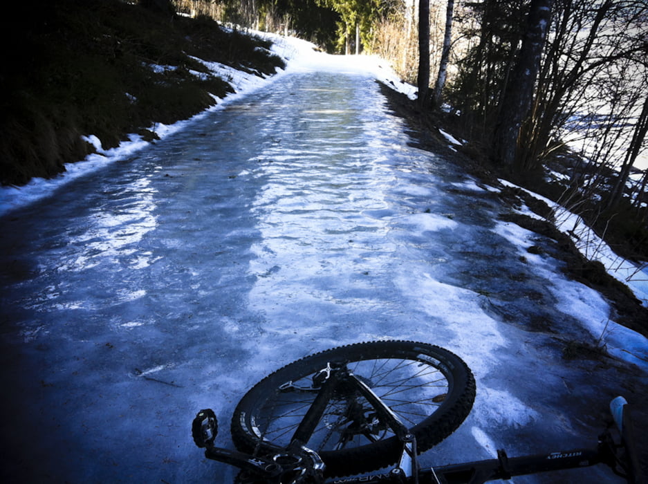
Due to the heavy snow on some tracks in the forrest the way back has been altered via Brenden/Staufen/Berau.

The tracks through the forrest are really nice! Some singletrails and a lot of normal country road.

I've made this tour middle March 2012


Tour gallery

Tour map and elevation profile

  • Open Street Map
  • Google
Minimum height 374 m Maximum height 973 m Detailed view

More about the tour author

kiri
Member since 2011

Send private message

Comments

Odin on 08.06.2012

gefahren 02.06.2012

Der Aufstieg bis zur Staumauer ist schön zu fahren. Es handelt sich hierbei um Waldwege mit angenehmer und gleichbleibender Steigung. Auch die Runde um den Schluchsee ist nett und beitet einige schöne Ausblicke. Die Rückfahrt jedoch findet ausschließlich auf der Straße statt (wenn auch wenig befahren). Schade, dass hier keine Singeltrails oder Waldwege genutzt wurden. Am Ende war es eine schöne Rollrunde ohne technische und ohne große konditionelle Ansprüche.

GPS tracks

Trackpoints
  • GPX / Garmin Map Source (gpx) download
  • TCX / Garmin Training Center® (tcx) download
  • CRS / Garmin Training Center® (crs) download
  • Google Earth (kml) download
  • G7ToWin (g7t) download
  • TTQV (trk) download
  • Overlay (ovl) download
  • Fugawi (txt) download
  • Kompass (DAV) Track (tk) download
  • Track data sheet (pdf) download
  • Original file of the author (gpx) download

More about the tour author

kiri
Member since 2011

Send private message
Share track
Add to my favorites
Remove from my favorites
Edit tags
My score
Rate
Track: Die kleine Runde um den See ;-) (Schluchsee
Type: Mountain bike
Distance: 66,9 km
Evaluated on:
Duration:
Day(s)
Hour(s)
Minute(s)
Score: Landscape Fun factor Fitness Technique