


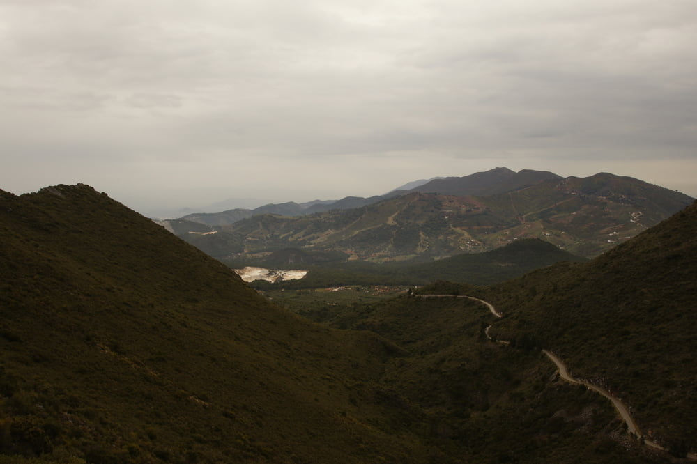
Vom Refugio de Juanar geht die Tour zuerst steil bergauf; hier ist Kondition gefragt! Nachdem die Höhe erreicht worden ist, wird der Weg deutlich flacher und man kann die Aussicht genießen. Im Frühjahr sind die Berghänge gesäumt von blühenden Blumen und Sträuchern. Zurück geht es angenehm bergab. Der letzte Kilometer führt auf einer asphaltierten Straße zurück zum Ausgangspunkt.
Tour gallery

Tour map and elevation profile
Minimum height 116 m
Maximum height 1097 m
More about the tour author
|
|
Huthinho |
Comments

Von Marbella die A355 in Richtung Coín. Nach dem Puerto de Coín links in Richtung Refugio de Juanar (sehr gut ausgeschildert) und bis dorthin fahren. Parken in unmittelbarer Nähe möglich.
GPS tracks
Trackpoints-
GPX / Garmin Map Source (gpx) download
-
TCX / Garmin Training Center® (tcx) download
-
CRS / Garmin Training Center® (crs) download
-
Google Earth (kml) download
-
G7ToWin (g7t) download
-
TTQV (trk) download
-
Overlay (ovl) download
-
Fugawi (txt) download
-
Kompass (DAV) Track (tk) download
-
Track data sheet (pdf) download
-
Original file of the author (gpx) download
More about the tour author
|
|
Huthinho |
Add to my favorites
Remove from my favorites
Edit tags
Open track
My score
Rate