


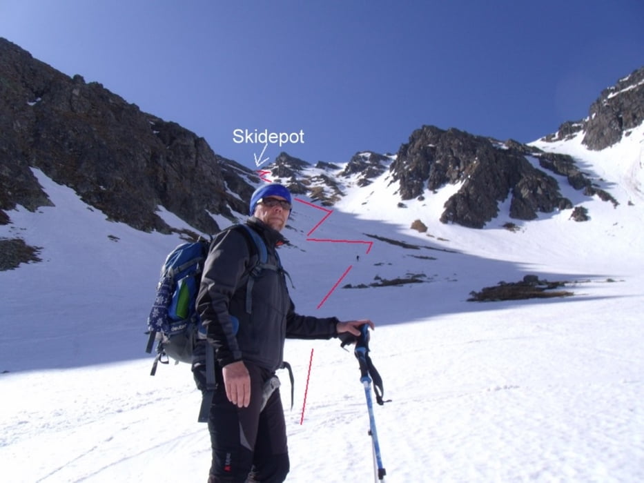
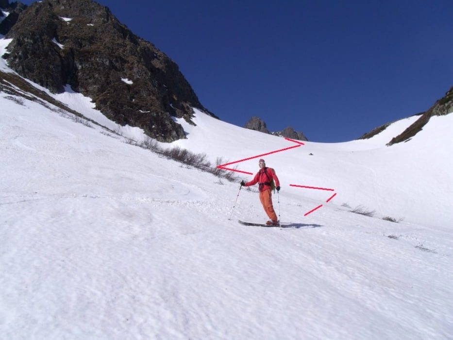
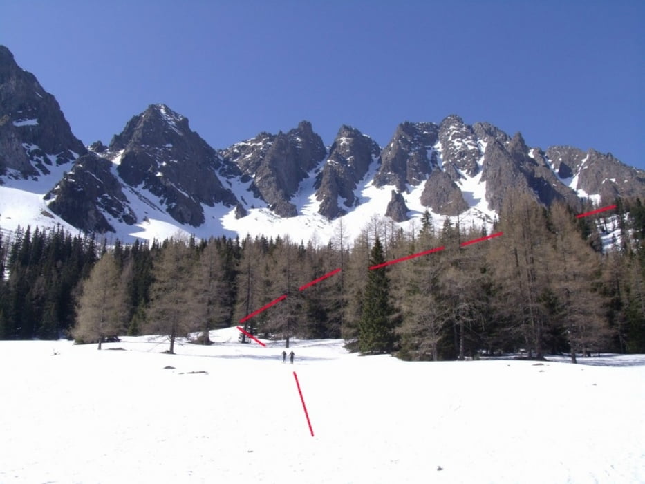
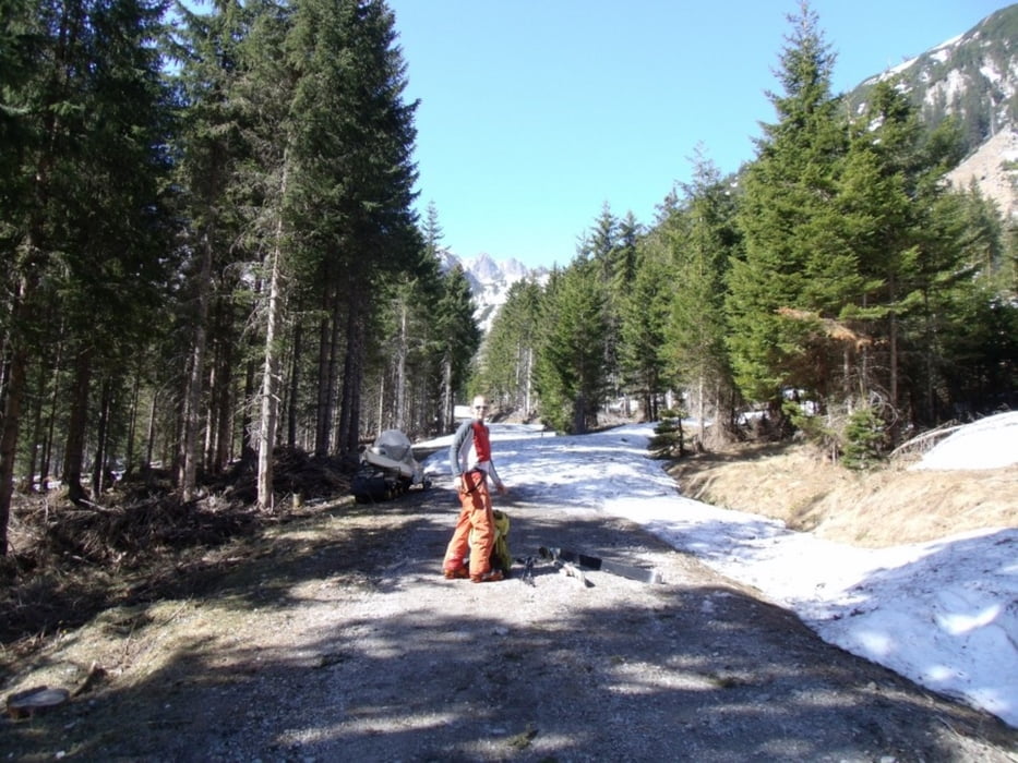
Von der Bergerhube flach Richtung Mödringhütte und dort weiter Richtung Mödringkogel und bei der Waldgrenze nach rechts eher flach bis zum Beginn der Nordwestrinne. Dort immer steiler werdend hinauf bis zu einer kleinen Scharte (Skidepot). Zu Fuß weiter auf den Gipfel (2386m).
Anstieg: ca. 3:00 Std.
Abfahrt: ca. 1:00 Std.
Tour gallery
Tour map and elevation profile
Minimum height 1206 m
Maximum height 29999 m
More about the tour author
|
|
renrew |
Comments

Zwischen St. Michael und Liezen auf der A9 Pyhrn-Autobahn die Abfahrt Trieben wählen. Weiter bis ca. 4km vor Hohentauern links abbiegen bis zur Bergerhube (Gasthaus)
GPS tracks
Trackpoints-
GPX / Garmin Map Source (gpx) download
-
TCX / Garmin Training Center® (tcx) download
-
CRS / Garmin Training Center® (crs) download
-
Google Earth (kml) download
-
G7ToWin (g7t) download
-
TTQV (trk) download
-
Overlay (ovl) download
-
Fugawi (txt) download
-
Kompass (DAV) Track (tk) download
-
Track data sheet (pdf) download
-
Original file of the author (gpx) download
More about the tour author
|
|
renrew |
Add to my favorites
Remove from my favorites
Edit tags
Open track
My score
Rate