


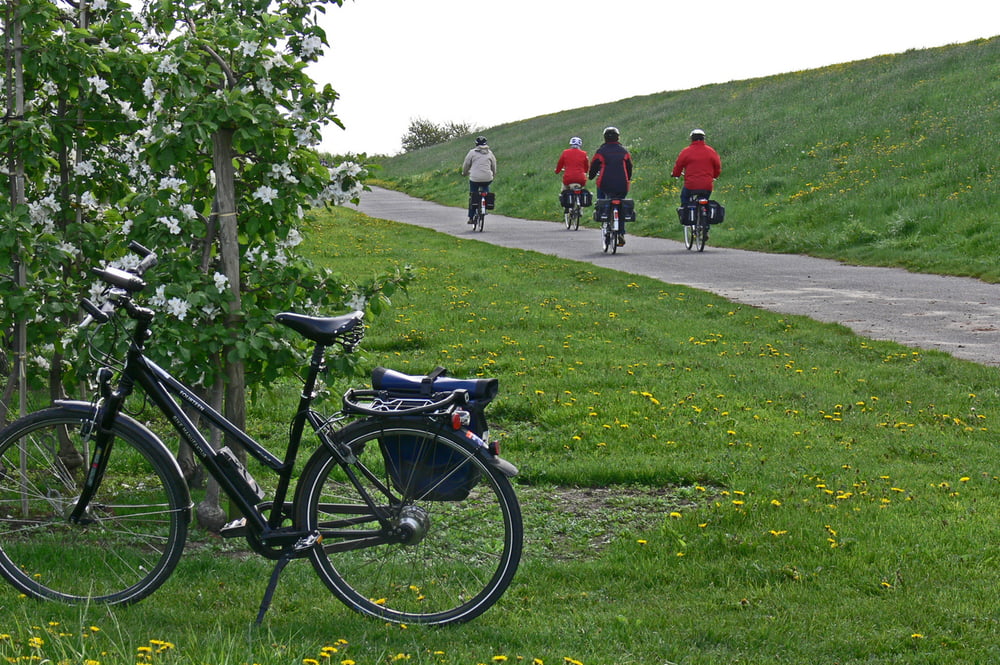
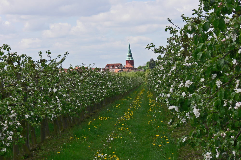
Die Tour folgt zur Hälfte weitgehend dem Elbe-Radweg. Auf dem Rückweg geht es über Jork nach Grünendeich und Lühe. Ab Fähranleger Lühe wird gleichen Strecke in umgekehrter Richtung gefahren, was ich nicht als störend empfunden habe. Besonderes interessant ist die Nähe zur Elbe bzw. das längere Teilstück durch geschlossene Obstanbauflächen (s. Bild 5). Rast- und Versorgungsmöglichkeiten gibt es allerorts. Eine Tour, von der ich meine, dass sie sich besonders anbietet zur Obstbaumblüte- oder zur Obsterntezeit.
Tour gallery


Tour map and elevation profile
Minimum height -5 m
Maximum height 9 m
More about the tour author
|
|
e-rohr |
Comments

GPS tracks
Trackpoints-
GPX / Garmin Map Source (gpx) download
-
TCX / Garmin Training Center® (tcx) download
-
CRS / Garmin Training Center® (crs) download
-
Google Earth (kml) download
-
G7ToWin (g7t) download
-
TTQV (trk) download
-
Overlay (ovl) download
-
Fugawi (txt) download
-
Kompass (DAV) Track (tk) download
-
Track data sheet (pdf) download
-
Original file of the author (gpx) download
More about the tour author
|
|
e-rohr |
Add to my favorites
Remove from my favorites
Edit tags
Open track
My score
Rate