


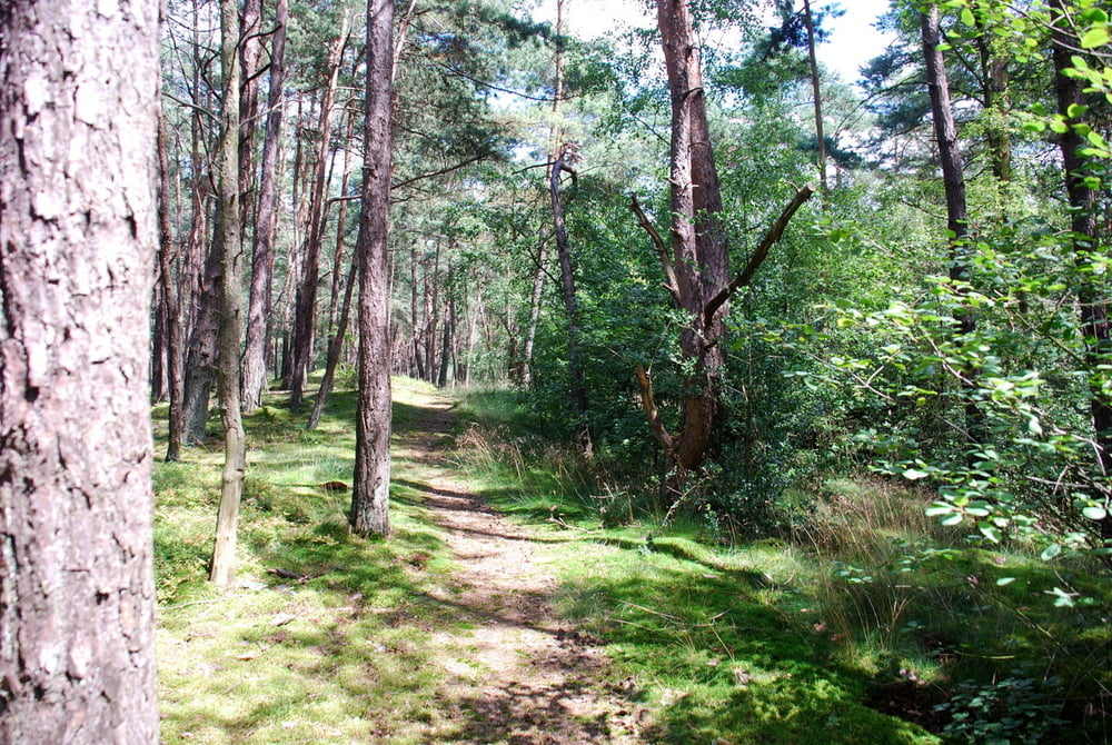
Wanderung/ Spaziergang auf zugewucherten und schmalen Pfaden bzw. Reitwegen durch einen ruhigen und lichtdurchfluteten Wald.
Die Wege sind teilweise sehr feucht und matschig, deshalb sind feste Schuhe zu empfehlen. Für Kinderwagen sind einige Wegabschnitte zu schmal und holprig.
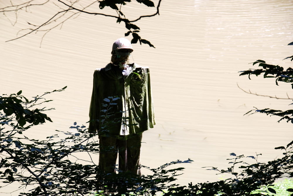
Die Landschaft ist durch den Bergbau vergangener Tage geprägt. Kurz vor Schluss sind die "Reste" eines Ringwalls zu entdecken.
Eine kurze Tour durch eine weitgehend unberührte Natur, die ihre Reize hat!!!
Wanderer, die breite und gut ausgebaute Wege bevorzugen, sollten diese Tour meiden! Und für alle anderen ist die Rundtour auf einsamen Pfaden genau das Richtige... :-)
Viel Spaß!
Galería de rutas
Mapa de la ruta y perfil de altitud
Minimum height 149 m
Maximum height 250 m
More about the tour author
|
|
my_guinness |
Comentarios

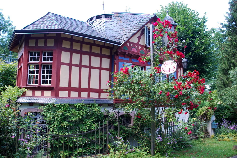
Parken auf Höhe des Haus Neuglück am Fahrbahnrand bzw. einige Meter hinter dem Haus Neuglück auf einem unbefestigten Wanderparkplatz rechts im Wald
Tracks GPS
Puntos del track-
GPX / Garmin Map Source (gpx) download
-
TCX / Garmin Training Center® (tcx) download
-
CRS / Garmin Training Center® (crs) download
-
Google Earth (kml) download
-
G7ToWin (g7t) download
-
TTQV (trk) download
-
Overlay (ovl) download
-
Fugawi (txt) download
-
Kompass (DAV) Track (tk) download
-
Hoja de ruta (pdf) download
-
Original file of the author (gpx) download
More about the tour author
|
|
my_guinness |
Add to my favorites
Remove from my favorites
Edit tags
Open track
Mi valoración
Rate