


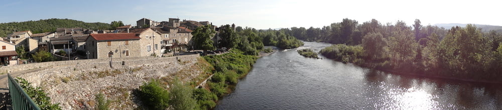
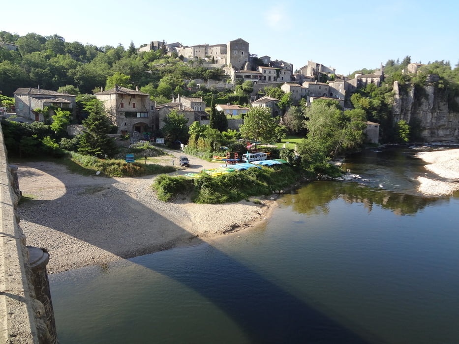
The Tour starts at Camping Chauzon and goes an low trafic road in direction of Balazuc. On the plateau you go of the road and you have a nice little down hill to Uzer. After a short bit on high trafic D104 we continue on small roads, climb up to the airport and have fun on the small trails down to Lanas. The rest of the tour is on roads. I didd the tour in the very early morning (6 to 9 am) so air was fresh and trafic was low. But I hope even at afternoon the lonely roads don't have too much trafic.
------------------------------------------------------------------
Galería de rutas
Mapa de la ruta y perfil de altitud
Minimum height 194 m
Maximum height 419 m
More about the tour author
|
|
H_SND |
Comentarios

I started in Chauzon, but You can start the tour at any point. If you start at any other point, then you can skip the "tail" to chauzon.
--------------------------------------------------------
Tracks GPS
Puntos del track-
GPX / Garmin Map Source (gpx) download
-
TCX / Garmin Training Center® (tcx) download
-
CRS / Garmin Training Center® (crs) download
-
Google Earth (kml) download
-
G7ToWin (g7t) download
-
TTQV (trk) download
-
Overlay (ovl) download
-
Fugawi (txt) download
-
Kompass (DAV) Track (tk) download
-
Hoja de ruta (pdf) download
-
Original file of the author (gpx) download
More about the tour author
|
|
H_SND |
Add to my favorites
Remove from my favorites
Edit tags
Open track
Mi valoración
Rate