


The hike is along the 9km length of the North East facing coastline of the Akamas Peninsular to the tip known as Cape Arnaoutis. This is the most westerly part of Cyprus.
There is a steepish climb at the start, but after this the hike is reasonably undemanding and flat for the most part.
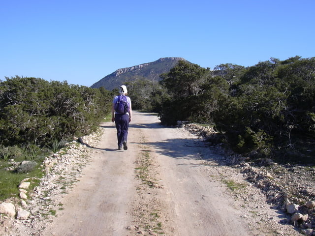
The rough dirt track gradually turns to a path and at the very end becomes indistinct, although you cannot get lost as the sea will always be on your right side.
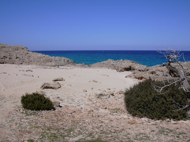
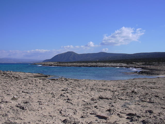
The coast is extremely beautiful with many small secluded bays and shores with white sand and blue sea.
I did this walk in late March 2004 and it was superb with light breezes and plenty of sun. I believe that it can be very windy at the cape, as it is very exposed so be prepared. Take some food, lots of water and don’t forget the sun cream and camera.
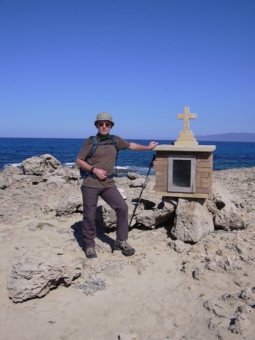
There is a small shrine at the very tip, so leave a small token of your visit.
There is a steepish climb at the start, but after this the hike is reasonably undemanding and flat for the most part.
The rough dirt track gradually turns to a path and at the very end becomes indistinct, although you cannot get lost as the sea will always be on your right side.
The coast is extremely beautiful with many small secluded bays and shores with white sand and blue sea.
I did this walk in late March 2004 and it was superb with light breezes and plenty of sun. I believe that it can be very windy at the cape, as it is very exposed so be prepared. Take some food, lots of water and don’t forget the sun cream and camera.
There is a small shrine at the very tip, so leave a small token of your visit.
Galería de rutas
Mapa de la ruta y perfil de altitud
Minimum height -2 m
Maximum height 59 m
More about the tour author

|
SILVAED |
Comentarios

The start of the hike is at the Tourist Pavilion and car park at the Baths of Aphrodite.
By car from Polis, head toward Latsi along the coast road until you reach the car park at the Baths of Aphrodite.
From here walk the coastal dirt road indicating “Fontana Amorosa” and just keep walking !
By car from Polis, head toward Latsi along the coast road until you reach the car park at the Baths of Aphrodite.
From here walk the coastal dirt road indicating “Fontana Amorosa” and just keep walking !
Tracks GPS
Puntos del track-
GPX / Garmin Map Source (gpx) download
-
TCX / Garmin Training Center® (tcx) download
-
CRS / Garmin Training Center® (crs) download
-
Google Earth (kml) download
-
G7ToWin (g7t) download
-
TTQV (trk) download
-
Overlay (ovl) download
-
Fugawi (txt) download
-
Kompass (DAV) Track (tk) download
-
Hoja de ruta (pdf) download
-
Original file of the author (g7t) download
More about the tour author
|
|
SILVAED |
Add to my favorites
Remove from my favorites
Edit tags
Open track
Mi valoración
Rate