


Saronic Gulf - Day Skipper Sailing Course Route
On This 7-day sailing trip we visited the following harbours and bays in the Saronic Gulf south of Athens (each of the destinations on this trip can be reached within one day of sailing):
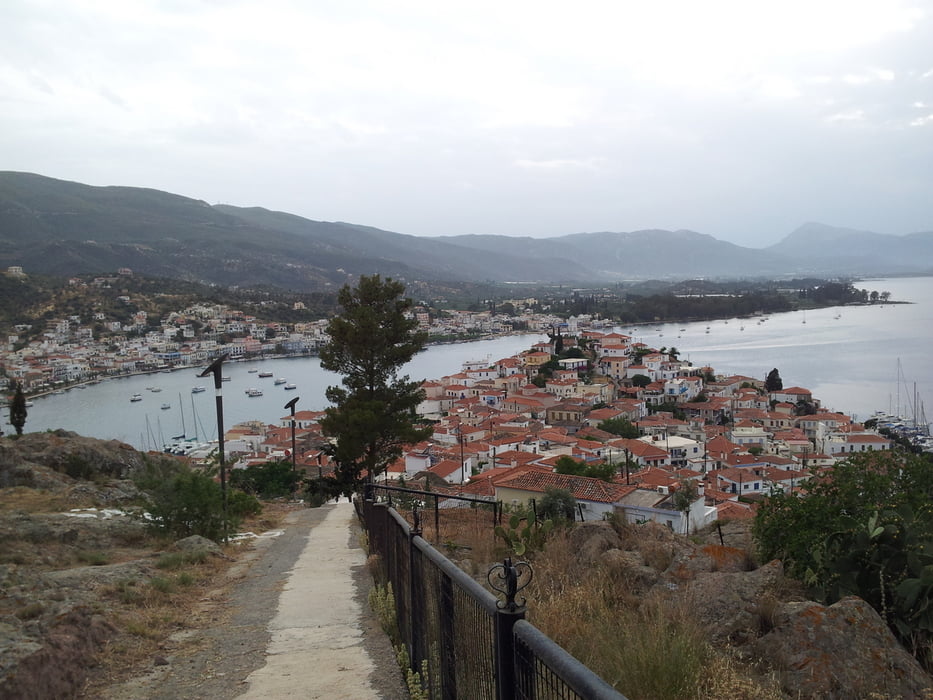
Athens (Alimos Harbour) - Methana (Harbour) - Poros (Harbour) - Dhokos (anchored in bay) - Ermioni (Harbour) - Poros (Harbour) - Egina, Ag. Marina (anchored in bay) - Athens (Alimos Harbour)
Warning: The track points of this GPS track have not been obtained by actually logging GPS positions. It has retrospectively been drawn up for the purpose of illustration.
Galería de rutas
Mapa de la ruta y perfil de altitud
Minimum height 99999 m
Maximum height -99999 m
More about the tour author
|
|
blobic |
Comentarios

Tracks GPS
Puntos del track-
GPX / Garmin Map Source (gpx) download
-
TCX / Garmin Training Center® (tcx) download
-
CRS / Garmin Training Center® (crs) download
-
Google Earth (kml) download
-
G7ToWin (g7t) download
-
TTQV (trk) download
-
Overlay (ovl) download
-
Fugawi (txt) download
-
Kompass (DAV) Track (tk) download
-
Hoja de ruta (pdf) download
-
Original file of the author (gpx) download
More about the tour author
|
|
blobic |
Add to my favorites
Remove from my favorites
Edit tags
Open track
Mi valoración
Rate