Login

Olvidaste tu contraseña?

Las cookies tienen que estar habilitadas!
Las cookies no están habilitadas en tu navegador. Por favor, modifica la configuración antes de continuar.

Not a member yet?

Register now
Login

Available for registred users only

Log in to use this feature.

Olvidaste tu contraseña?

Las cookies tienen que estar habilitadas!
Las cookies no están habilitadas en tu navegador. Por favor, modifica la configuración antes de continuar.

Not a member yet?

Register now
Filtro
Categorías
Advanced filters
  • Distancia (km)
  • Altitud en metros
Guardar filtro Reset filter

TrackRank

QRCode

Technical data

Distancia9,8 km Altitud en metros384 m Descenso146 m Duración06:00 h:m Fecha18.02.2015
Valoraciones Autor Paisaje Diversión Condición Técnica

Estadística

553 Visitas Valoraciones 58 Descargas Promedio
Rate
  • Hoja de ruta
  • Punto de partida
  • Descargas

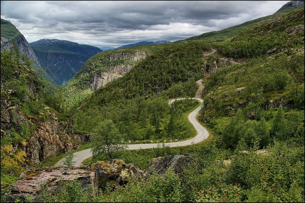
Die Anfahrt erfolgt über eine sehr steile, nur für PKW zugelassene Schotterpiste. Im oberen Teil gibt es drei Parkplätze.
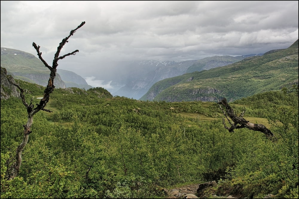
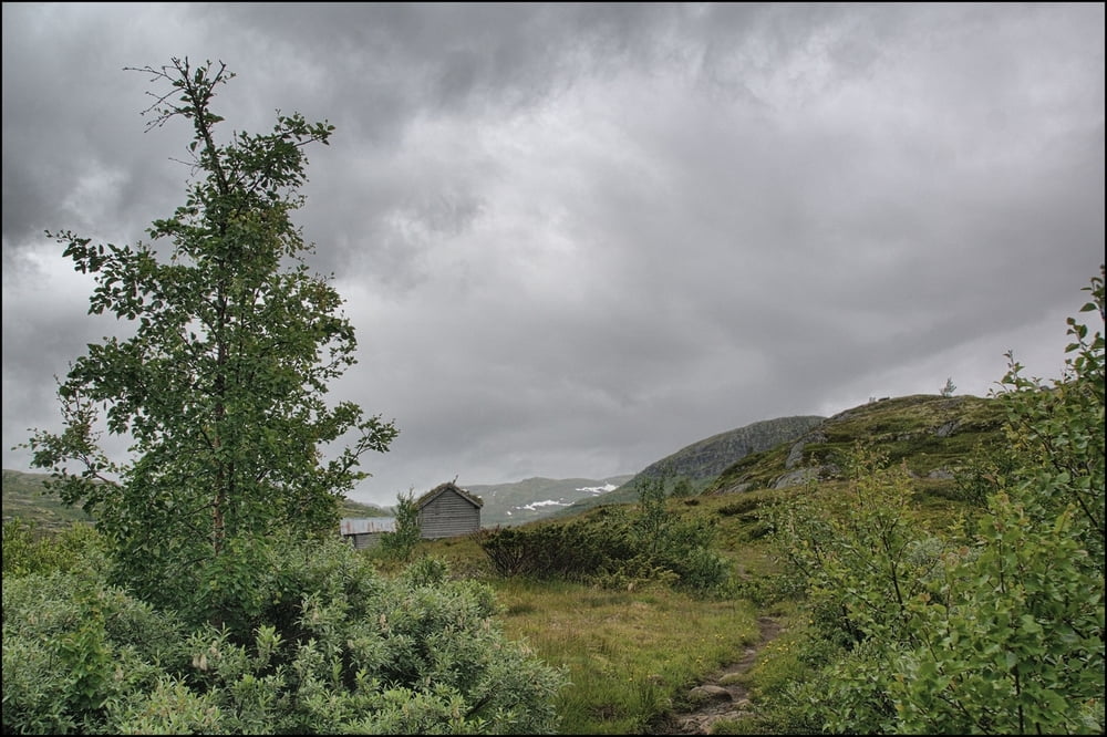
Die Wanderung beginnt an der ersten Parkmöglichkeit, und führt zunächst bis zum letzten Parkplatz bergauf. Wir überschreiten die Brücke und folgen den Weg bergansteigend weiter. Im weiteren Verlauf, ohne größere Höhenänderungen kommen wir an bebauten Hochebenen vorbei, bevor wir die Hedlo-Hütte erreichen.


Galería de rutas

Mapa de la ruta y perfil de altitud

  • Open Street Map
  • Google
Minimum height 715 m Maximum height 1001 m Vista detallada

More about the tour author

Empe53
Member since 2012

Send private message

Comentarios

über Strasse Nr.7. In Ovre Eidford südlich abbiegen. Zufahrt zum Parkplatz über steile Schotterpiste, die für größere Fahrzeuge gesperrt ist.


Tracks GPS

Puntos del track
  • GPX / Garmin Map Source (gpx) download
  • TCX / Garmin Training Center® (tcx) download
  • CRS / Garmin Training Center® (crs) download
  • Google Earth (kml) download
  • G7ToWin (g7t) download
  • TTQV (trk) download
  • Overlay (ovl) download
  • Fugawi (txt) download
  • Kompass (DAV) Track (tk) download
  • Hoja de ruta (pdf) download
  • Original file of the author (gpx) download

More about the tour author

Empe53
Member since 2012

Send private message
Share track
Add to my favorites
Remove from my favorites
Edit tags
Mi valoración
Rate
Ruta: Hedlo-Hütte
Tipo: Excursionismo
Distancia: 9,8 km
valorizado al:
Duración:
Day(s)
Hour(s)
Minute(s)
Valoración: Paisaje Diversión Condición Técnica